#2410 Postby Jr0d » Tue Nov 03, 2020 12:31 pm
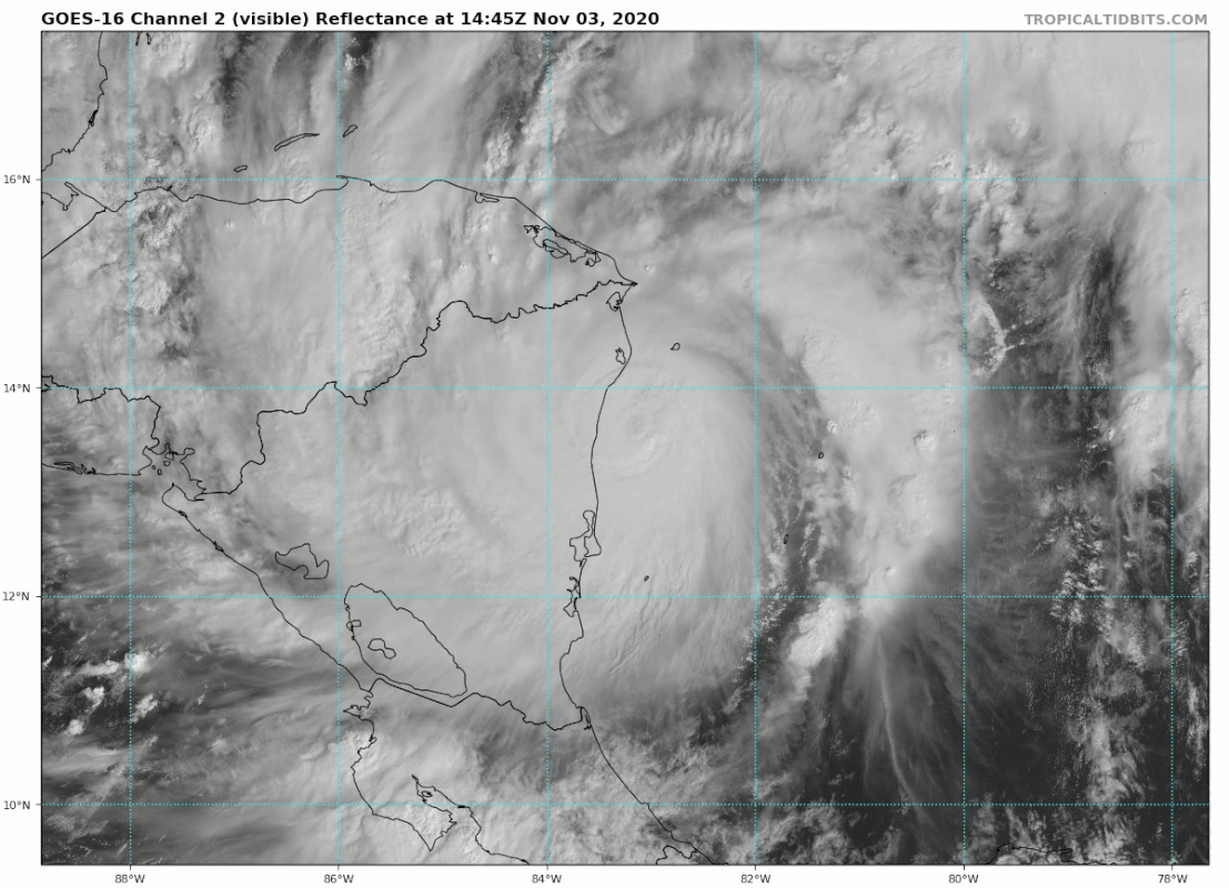
Not sure how this current 'stall' over water will effect the long term track.
If Eta does not go as far inland as projected, we will likely have a much stronger system re-emerging later in the week.
Now most of the models are in good agreement the circulation will be heavily disrupted and the system that emerges will struggle and have a lopsided sub-tropical look....now it is looking like there is a chance Eta will not go as far inland, meaning it may not be broken up by the CA mountains.
Regardless, this is going to be a busy week for us.
Hopefully those in Nicaragua and Honduras have heeded the warnings and taken shelter for the high winds, surge, flooding and landslides.
Even if Eta surprises and a much stronger storm impacts Florida, that will pale in comparison to the destruction happening now in Central America.
Last edited by
Jr0d on Tue Nov 03, 2020 12:59 pm, edited 2 times in total.
5 likes