ATL: KAREN - Models

Moderator: S2k Moderators

Message
Author
User avatar
ronjon
Category 5
Category 5
Posts: 4672
Joined: Fri Aug 19, 2005 5:17 pm
Location: Hernando Beach, FL

Re: ATL: KAREN - Models

#741 Postby ronjon » Tue Sep 24, 2019 2:29 pm

blp wrote:What moves it out is not a trough but just the Ridge moving positions. Amazing how quickly the ridge readjusts from 192-240hrs.


Actually I think its also the upper midwest trof that erodes the strength of the ridge and its orientation. But if we think its really going to take 10 days to reach the east US coast, as I said earlier, we can lay odds on an OTS scenario this time of year.
1 likes   

ava_ati
Tropical Storm
Tropical Storm
Posts: 174
Joined: Thu Sep 01, 2016 8:36 am
Location: Saint Augustine

Re: ATL: KAREN - Models

#742 Postby ava_ati » Tue Sep 24, 2019 2:30 pm

I think at this point there is so much consensus among the models, Karen is coming west... How strong and where exactly are what we will be ironing out over the next week and a half.
1 likes   

User avatar
Miami Storm Tracker
Category 3
Category 3
Posts: 893
Age: 66
Joined: Sun Jun 13, 2010 10:12 pm
Location: Key Largo, Fla.
Contact:

Re: ATL: KAREN - Models

#743 Postby Miami Storm Tracker » Tue Sep 24, 2019 2:33 pm

With the way that 12 Z run looks the high appears to be strong it may continue WSW to the straits or even Cuba.
0 likes   

LarryWx
Category 5
Category 5
Posts: 5803
Joined: Sun Sep 07, 2003 2:04 pm
Location: GA

Re: ATL: KAREN - Models

#744 Postby LarryWx » Tue Sep 24, 2019 2:35 pm

chris_fit wrote:LarryWX how them EPS lookin'?


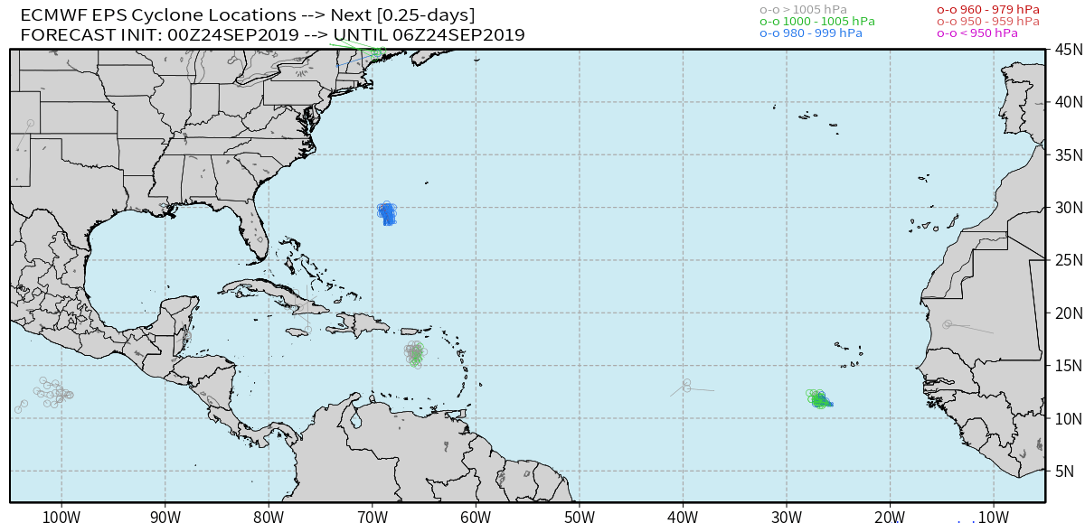
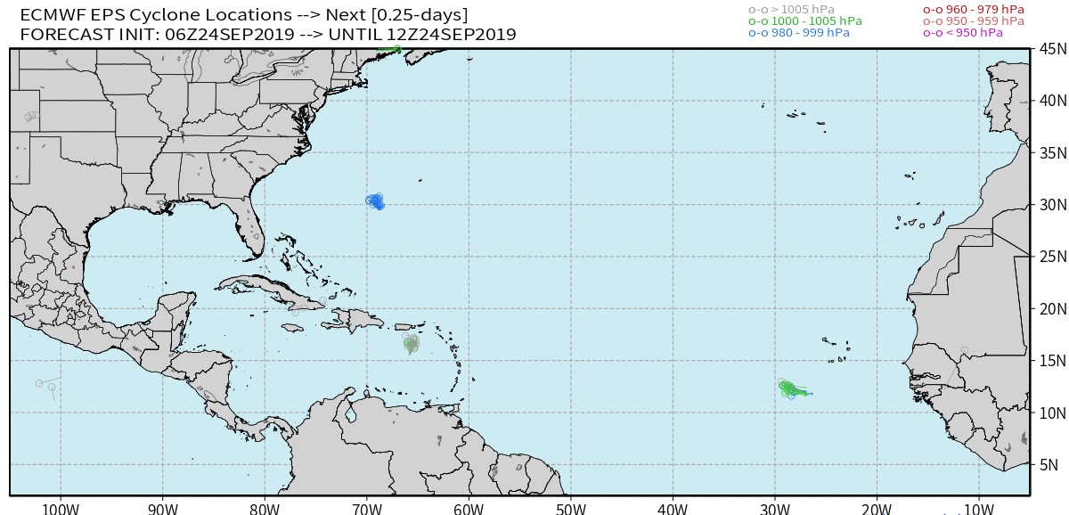
12z EPS preliminary of TC's hitting CONUS with SLP of 1003 mb or lower: still a threat with 7 total hitting members out of 51 or 14% vs 16%/8 of the 0Z I don't see any member stalling as a TC just off FL like on the operational

1. 10/1 FL Keys weak TD?
2. 10/1 Just N of WPB TS?
3. 10/3 Just N of WPB TS?
4. 10/3 St. Aug. H
5. 10/4 SE tip FL H
6. 10/4 Cape Canaveral TS?
7. 10/7 FL Keys/far S tip H
Last edited by LarryWx on Tue Sep 24, 2019 2:51 pm, edited 3 times in total.
2 likes   
Personal Forecast Disclaimer:
The posts in this forum are NOT official forecasts and should not be used as such. They are just the opinion of the poster and may or may not be backed by sound meteorological data. They are NOT endorsed by any professional institution or storm2k.org. For official information, please refer to the NHC and NWS products.

User avatar
Jr0d
S2K Supporter
S2K Supporter
Posts: 1178
Joined: Tue Aug 27, 2019 10:52 am
Location: Cayo Hueso

Re: ATL: KAREN - Models

#745 Postby Jr0d » Tue Sep 24, 2019 2:37 pm


All are moving Karen slowly after the west turn. How fast Karen moves after making the turn is going to be crucial.

It initially looked like strong riffing would possibly push Karen quickly west or wsw, however it seemed like that is no longer the case.

Does anyone have an idea why the have slowed Karen down significantly?
0 likes   

User avatar
kevin
Category 5
Category 5
Posts: 1799
Age: 25
Joined: Wed Aug 28, 2019 4:35 am

Re: ATL: KAREN - Models

#746 Postby kevin » Tue Sep 24, 2019 2:43 pm

ECMWF ensemble 12z

6/51 US landfall = 12% (TS to Cat 1 - strongest member 90mph)
1/51 Cuba landfall = 2% (TD)
Approximately half of the members make the clear turn West

Image
Last edited by kevin on Tue Sep 24, 2019 2:48 pm, edited 3 times in total.
0 likes   

Frank2
Category 5
Category 5
Posts: 4061
Joined: Mon Jul 25, 2005 12:47 pm

Re: ATL: KAREN - Models

#747 Postby Frank2 » Tue Sep 24, 2019 2:44 pm

Irma first made landfall in the Keys as a Cat 4. If I remember correctly, it had weakened to a Cat 3 after interaction with Cuba and then intensified again prior to Big Pine Key/Cudjoe area.


I was referring to mainland Florida landfall but you are correct, though it eeked out a Cat 4 staus by 1 mph, and it began to become extra tropical wth the worst weather to the north of the center. Once the eye passed 50 miles to our west the weather steadily improved during the evening.
0 likes   

User avatar
toad strangler
S2K Supporter
S2K Supporter
Posts: 4178
Joined: Sun Jul 28, 2013 3:09 pm
Location: Earth
Contact:

Re: ATL: KAREN - Models

#748 Postby toad strangler » Tue Sep 24, 2019 2:46 pm

Karen is large.
0 likes   

User avatar
Weatherboy1
Category 5
Category 5
Posts: 1169
Age: 48
Joined: Mon Jul 05, 2004 1:50 pm
Location: Jupiter, FL

Re: ATL: KAREN - Models

#749 Postby Weatherboy1 » Tue Sep 24, 2019 2:53 pm

I think the most important thing to be gleaned from all the modeling today is that a sharp turn to the left/west is likely. Many models show some version of it. Two most important questions are: 1) how far east of due north does Karen go in the next couple of days and 2) once she turns, how fast does she head west? The answer to the first is very important because if the starting point of her turn is 60W vs. 64W I doubt she'll get anywhere close to FL. The answer to the second is important because there's only so much ocean between the starting point and the Bahamas/Florida. A slower motion west like the GFS shows likely results in a recurve. A faster motion like the Euro makes the chance of a U.S. hit stronger.

Final point worth making? Any turn/stall is likely at least three days out and any potential landfall is more than a week out (excluding Puerto Rico, obviously). Sooooo lots of things can change that far out with modeling/overall environment!
3 likes   

User avatar
chris_fit
Category 5
Category 5
Posts: 3078
Joined: Wed Sep 10, 2003 11:58 pm
Location: Tampa Bay Area, FL
Contact:

Re: ATL: KAREN - Models

#750 Postby chris_fit » Tue Sep 24, 2019 3:00 pm

It's gonna be interesting that's for sure...

Image
1 likes   

User avatar
StruThiO
Category 3
Category 3
Posts: 821
Age: 24
Joined: Fri Sep 15, 2017 5:51 am
Location: Currently Portland, OR. Raised in Jax, FL.

Re: ATL: KAREN - Models

#751 Postby StruThiO » Tue Sep 24, 2019 3:09 pm

how many TCs poleward of 25N and E of 65W have been steered into the US this time of year or later?
0 likes   

rbaker55
Tropical Low
Tropical Low
Posts: 33
Joined: Sat Sep 07, 2019 1:08 pm

Re: ATL: KAREN - Models

#752 Postby rbaker55 » Tue Sep 24, 2019 3:11 pm

Weatherboy1 wrote:I think the most important thing to be gleaned from all the modeling today is that a sharp turn to the left/west is likely. Many models show some version of it. Two most important questions are: 1) how far east of due north does Karen go in the next couple of days and 2) once she turns, how fast does she head west? The answer to the first is very important because if the starting point of her turn is 60W vs. 64W I doubt she'll get anywhere close to FL. The answer to the second is important because there's only so much ocean between the starting point and the Bahamas/Florida. A slower motion west like the GFS shows likely results in a recurve. A faster motion like the Euro makes the chance of a U.S. hit stronger.

Final point worth making? Any turn/stall is likely at least three days out and any potential landfall is more than a week out (excluding Puerto Rico, obviously). Sooooo lots of things can change that far out with modeling/overall environment!


I tend to agree with this in the most part. The further west the turn happens the closer the threat. If the system slows its getting close to October, where fronts and troughs play even more important roles in turning TC's. Climatology wise, we are getting into the season in another week where GOM and Western Caribbean is open for business, where we have less time to watch and if a storm makes it into the GOM, it has to hit somewhere.
0 likes   

Frank2
Category 5
Category 5
Posts: 4061
Joined: Mon Jul 25, 2005 12:47 pm

Re: ATL: KAREN - Models

#753 Postby Frank2 » Tue Sep 24, 2019 3:14 pm

how many TCs poleward of 25N and E of 65W have been steered into the US this time of year or later?


Not many and if only 12% call for a US landfall, I wouldn't bet a week's pay on that happening, because it means an 88% chance it won't...

P.S. GFS now showing a strong CF through FL by hour 240, so the pattern is very active and does not favor landfall - landfalling CV hurricanes are usually a Mid-July to Mid-September event...
0 likes   

sma10
Category 5
Category 5
Posts: 1709
Joined: Tue Aug 02, 2005 1:13 pm

Re: ATL: KAREN - Models

#754 Postby sma10 » Tue Sep 24, 2019 3:21 pm

Weatherboy1 wrote:I think the most important thing to be gleaned from all the modeling today is that a sharp turn to the left/west is likely. Many models show some version of it. Two most important questions are: 1) how far east of due north does Karen go in the next couple of days and 2) once she turns, how fast does she head west? The answer to the first is very important because if the starting point of her turn is 60W vs. 64W I doubt she'll get anywhere close to FL. The answer to the second is important because there's only so much ocean between the starting point and the Bahamas/Florida. A slower motion west like the GFS shows likely results in a recurve. A faster motion like the Euro makes the chance of a U.S. hit stronger.

Final point worth making? Any turn/stall is likely at least three days out and any potential landfall is more than a week out (excluding Puerto Rico, obviously). Sooooo lots of things can change that far out with modeling/overall environment!


All good points.
I'll just add that orientation and strength of ridge will be very hard to model perfectly at this time, and even though 65W to 80W is a relatively long way (and can feel like an eternity when tracking a slow moving TC), a due westward bowling ball of a system under the properly structured ridge can cover that ground in 2, 2.5 days, easy.
Last edited by sma10 on Tue Sep 24, 2019 3:21 pm, edited 1 time in total.
0 likes   

User avatar
Ubuntwo
Category 5
Category 5
Posts: 1089
Age: 30
Joined: Thu Oct 05, 2017 10:41 pm

Re: ATL: KAREN - Models

#755 Postby Ubuntwo » Tue Sep 24, 2019 3:21 pm

Frank2 wrote:
how many TCs poleward of 25N and E of 65W have been steered into the US this time of year or later?


Not many and if only 12% call for a US landfall, I wouldn't bet a week's pay on that happening, because it means an 88% chance it won't...

P.S. GFS now showing a strong CF through FL by hour 240, so the pattern is very active and does not favor landfall - landfalling CV hurricanes are usually a Mid-July to Mid-September event...

Thing is, it’s not like 88% of the ensemble members have it OTS. No, most have it turning west. The majority just have it too weak or dissipate it thereafter.
3 likes   
Kendall -> SLO -> PBC

Memorable Storms: Katrina (for its Florida landfall...) Wilma Matthew Irma

User avatar
kevin
Category 5
Category 5
Posts: 1799
Age: 25
Joined: Wed Aug 28, 2019 4:35 am

Re: ATL: KAREN - Models

#756 Postby kevin » Tue Sep 24, 2019 3:21 pm

All 29 TC's in September to pass through the current position of Karen within 75 miles. None of them show real Karen-like behavior of nearly only North movement over Puerto Rico (at least if the models verify). The only one that looks kinda similar is Jeanne (and perhaps Gabrielle), which made the turn North after the Dominican Republic and hit Florida as a cat 3.

Image
Last edited by kevin on Tue Sep 24, 2019 3:57 pm, edited 3 times in total.
2 likes   

User avatar
SFLcane
S2K Supporter
S2K Supporter
Posts: 9627
Age: 46
Joined: Sat Jun 05, 2010 1:44 pm
Location: Lake Worth Florida

Re: ATL: KAREN - Models

#757 Postby SFLcane » Tue Sep 24, 2019 3:23 pm

0 likes   

sma10
Category 5
Category 5
Posts: 1709
Joined: Tue Aug 02, 2005 1:13 pm

Re: ATL: KAREN - Models

#758 Postby sma10 » Tue Sep 24, 2019 3:23 pm

Ubuntwo wrote:
Frank2 wrote:
how many TCs poleward of 25N and E of 65W have been steered into the US this time of year or later?


Not many and if only 12% call for a US landfall, I wouldn't bet a week's pay on that happening, because it means an 88% chance it won't...

P.S. GFS now showing a strong CF through FL by hour 240, so the pattern is very active and does not favor landfall - landfalling CV hurricanes are usually a Mid-July to Mid-September event...

Thing is, it’s not like 88% of the ensemble members have it OTS. No, most have it turning west. The majority just have it too weak or dissipate it thereafter.


For the record, I think you'll find that 12% chance of a Florida landfall 8 days out, is a very, very significant chance indeed.
4 likes   

User avatar
fci
S2K Supporter
S2K Supporter
Posts: 3297
Joined: Tue Sep 14, 2004 10:29 am
Location: Lake Worth, FL

Re: ATL: KAREN - Models

#759 Postby fci » Tue Sep 24, 2019 3:47 pm

ronjon wrote:
blp wrote:What moves it out is not a trough but just the Ridge moving positions. Amazing how quickly the ridge readjusts from 192-240hrs.


Actually I think its also the upper midwest trof that erodes the strength of the ridge and its orientation. But if we think its really going to take 10 days to reach the east US coast, as I said earlier, we can lay odds on an OTS scenario this time of year.


For sure. The TRUE exception would be a climatological-defying westward movement to FL from so far out at the beginning of October.
But we didn’t expect Ike to turn SW through Cuba or Irma to hug the North coast of Cuba or (MANY years ago) Betsy to get as far north as 29.0 before looping back and hitting Key Largo.
But....OTS is the obvious solution here but, with weird conditions and climate change effect; one never knows...
4 likes   
Personal Forecast Disclaimer:
My posts are just my opinion and are most likely not backed by sound meteorological data. They are NOT endorsed by any professional institution or storm2k.org. For official information, please refer to the NHC and NWS products.
Bottom line is that I am just expressing my opinion!!!

CreponChris
Tropical Low
Tropical Low
Posts: 22
Age: 35
Joined: Mon Sep 16, 2019 1:27 am
Contact:

Re: ATL: KAREN - Models

#760 Postby CreponChris » Tue Sep 24, 2019 4:16 pm

00 Zulu EPS for ya.

Image

And here's yer 06 as well. G

Image

ave you guys a 100 milisecond delay between frames as otherwise it's too fast, really. Interesting to see the NHC official track even showing that 90 degree or so turn in about 4 days or so. I never really saw what others seemed to be seeing on yesterday's GFS in terms of the two storms merging. Jerry and Karen, I mean. I saw Jerry weakening and then sending convection somehow back toward Florida. They seem too far apart to be able to 'merge' effectively, but I'm far from an expert. Keep up the good work. ~C Norman Crepon
1 likes   


Return to “2019”

Who is online

Users browsing this forum: No registered users and 5 guests