#79 Postby Shell Mound » Sun Jun 30, 2019 7:04 am
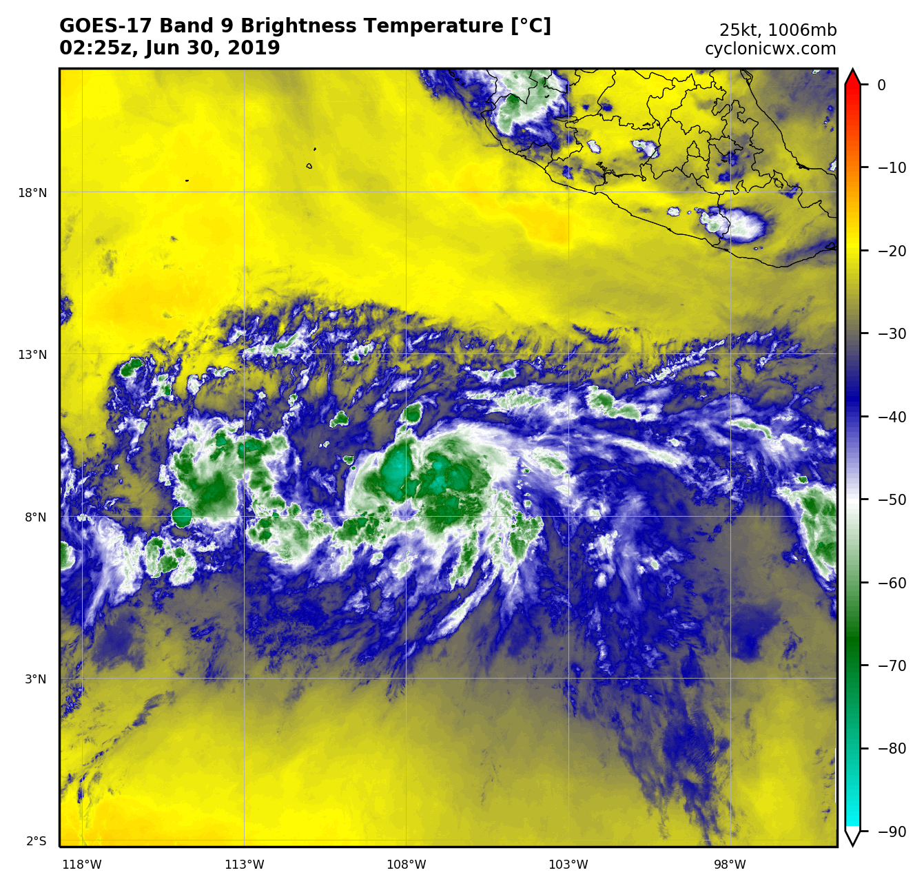
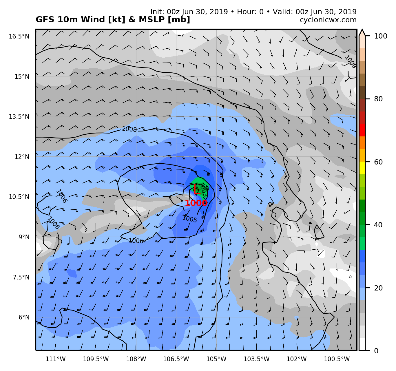
Given the rapid, incipient development of a potentially compact inner core, low latitude, proximity to high PWATs (in the ITCZ), and very low vertical wind shear, BARBARA could well become far stronger than the dynamical models currently indicate. Obviously, SSTs will be more than sufficiently warm, and oceanic heat content sufficiently deep, to allow for steady to significant deepening over the next few days. The farther southwest BARBARA remains in the short term, the more time it will have to consolidate, since it would remain over the warmest water for a prolonged period, avoiding more stable air to the north. If BARBARA continues to organise at its current rate, then a high-end Category-4 hurricane—perhaps 125 to 135 knots—is not out of the question, before cooler SSTs, a more stable air mass, and stronger vertical wind shear set in. Given climatology, regardless of its exact track, BARBARA is unlikely to be a significant event, in terms of impact(s), in the Hawaiian Islands, though it may become quite strong in the short term.
2 likes
CVW / MiamiensisWx / Shell MoundThe posts in this forum are NOT official forecasts and should not be used as such. They are just the opinion of the poster and may or may not be backed by sound meteorological data. They are NOT endorsed by any professional institution or
STORM2K. For official information, please refer to products from the
NHC and
NWS.