ATL: DORIAN - Models
Moderator: S2k Moderators
-
Kingarabian

- S2K Supporter

- Posts: 16279
- Joined: Sat Aug 08, 2009 3:06 am
- Location: Honolulu, Hawaii
Re: ATL: DORIAN - Models
So basically it's just the GFS that isn't showing much after Dorian passes Hispaniola in the next couple of days.
2 likes
RIP Kobe Bryant
-
Hypercane_Kyle

- Category 5

- Posts: 3465
- Joined: Sat Mar 07, 2015 7:58 pm
- Location: Cape Canaveral, FL
Re: ATL: DORIAN - Models
Plenty of Hispaniola for Dorian to go over. 50/50 this survives past that.
2 likes
My posts are my own personal opinion, defer to the National Hurricane Center (NHC) and other NOAA products for decision making during hurricane season.
-
stormlover2013
Re: ATL: DORIAN - Models
just remember fellows and I know most know but the models will keep going back and forth. There have been so many times that they are wrong 4 days outs, we are looking at 7-8 days out. Don't trust anything till its about 3-4 days out.
1 likes

-
lsuhurricane
- Category 1

- Posts: 270
- Joined: Tue Aug 15, 2017 2:53 pm
Re: ATL: DORIAN - Models
18z Icon is trending stronger as it passes through PR. Will be interesting to see if a stronger storm is influenced by the ridge to its north and steered more westward.
And much much stronger at 975mb north of Hispanola entering the Southern Bahamas
And much much stronger at 975mb north of Hispanola entering the Southern Bahamas
Last edited by lsuhurricane on Mon Aug 26, 2019 4:24 pm, edited 1 time in total.
0 likes
Re: ATL: DORIAN - Models
HDGator wrote:toad strangler wrote:Ramping up at 120 and look at that ridge
Yeah, look at that ridge building in. I don't like where this is headed.
Neither do I.
Time to ramp up preps.
Got shelter ready, etc. But one doesn't "store up" gas, etc. So gotta get to those....before gas stations jump up the price, and long lines and short supplies for MORE water.
I wanna have things set rather than be one of the dummies who WAITS TO SEE WHAT IS GOING TO HAPPEN before I end up in long lines at the store, wondering WHY I waited!!
0 likes
Cleo - 1964, Betsy - 1965, David - 1979, Andrew - 1992, Charlie (Francis, Ivan, Jeanne) - 2004, Irma - 2017, Ian - 2022, Milton - 2024
Re: ATL: DORIAN - Models
ronjon wrote:8/26 12z model suite update:
12z GFS - degenerates into open wave
12z GFS legacy - 987 mb hurricane into Ft Laud
12z CMC - 997 mb TS into upper keys
12z UKMET - 981 mb hurricane into Miami-Ft Laud
12z HWRF - 1001 mb TS heading for Ft Laud
12z HMON - degenerates into open wave
12z NAVGEM - 981 mb hurricane into WPB-Vero Beach
12z Euro - 1005 mb TS into Melbourne
12z ICON - 983 mb hurricane into the north coast of Cuba
None of these impacts me severely, so it doesn't really matter to me at this point where it landfalls on the east coast. I DID NOT "choose" the option I'm stating just because I like that outcome.....but I did want to say, in the past, it seems like the NAVGEM had done a good job with predictions.
0 likes
Cleo - 1964, Betsy - 1965, David - 1979, Andrew - 1992, Charlie (Francis, Ivan, Jeanne) - 2004, Irma - 2017, Ian - 2022, Milton - 2024
-
AxaltaRacing24
- Category 5
- Posts: 1774
- Age: 25
- Joined: Wed Jul 27, 2016 11:14 am
- Location: Jupiter, FL

-
Frank P
- S2K Supporter
- Posts: 2779
- Joined: Fri Aug 29, 2003 10:52 am
- Location: Biloxi Beach, Ms
- Contact:
Re: ATL: DORIAN - Models
ICON clips the eastern side of PR... down to 974 at H111, looks to be heading west
0 likes
Re: ATL: DORIAN - Models
jdray wrote:This EURO run (AUG 26th, 12Z) places a lot of water over central and north Florida with it slowing down like that.
Now THIS DOES "impact" us!!!
Irma sent a LOT of water our way, and our city's American Legion building was flooded out - to the tune of 3' of water inside. Whole thing had to be rebuilt and took almost a year.
This year, we've already had a lot of water, and the river behind the American Legion is within TWO FEET OR LESS of coming ashore and flooding the newly remodeled American Legion building! Is currently in flood stage, and every day they extended it a few more days, as the water hasn't gone down.
Needless to say, hubby is VERRRY upset, and worried. That much rain north of us will send plenty down river and FLOOD our American Legion again. So, bottom line, while we may not get direct impact from Dorian, we still may feel its effects in other ways.
0 likes
Cleo - 1964, Betsy - 1965, David - 1979, Andrew - 1992, Charlie (Francis, Ivan, Jeanne) - 2004, Irma - 2017, Ian - 2022, Milton - 2024
-
Blown Away

- S2K Supporter
- Posts: 10253
- Joined: Wed May 26, 2004 6:17 am
Re: ATL: DORIAN - Models

18z ICON
0 likes
Hurricane Eye Experience: David 79, Irene 99, Frances 04, Jeanne 04, Wilma 05… Hurricane Brush Experience: Andrew 92, Erin 95, Floyd 99, Matthew 16, Irma 17, Ian 22, Nicole 22…
-
Frank P
- S2K Supporter
- Posts: 2779
- Joined: Fri Aug 29, 2003 10:52 am
- Location: Biloxi Beach, Ms
- Contact:
Re: ATL: DORIAN - Models
Blown Away wrote:https://i.imgur.com/hpOeMwd.gif
18z ICON
Looks like it is heading towards northern Cuba on the run...
0 likes

Re: ATL: DORIAN - Models
18z GFS murders it once again.
0 likes
Igor 2010, Sandy 2012, Fay 2014, Gonzalo 2014, Joaquin 2015, Nicole 2016, Humberto 2019, Imelda 2025
I am only a tropical weather enthusiast. My predictions are not official and may or may not be backed by sound meteorological data. For official information, please refer to the NHC and NWS products.
I am only a tropical weather enthusiast. My predictions are not official and may or may not be backed by sound meteorological data. For official information, please refer to the NHC and NWS products.
-
Hurricaneman

- Category 5
- Posts: 7404
- Age: 45
- Joined: Tue Aug 31, 2004 3:24 pm
- Location: central florida
Re: ATL: DORIAN - Models
The GFS Operational seems to be the only one doing almost nothing with this, either it’s the only model that will be right or it will be a colossal fail and honestly I believe that the latter is most probable
Last edited by Hurricaneman on Mon Aug 26, 2019 4:56 pm, edited 1 time in total.
0 likes
-
crownweather

- S2K Supporter
- Posts: 602
- Age: 51
- Joined: Sat Aug 12, 2006 9:21 am
- Location: Sturbridge, Massachusetts
- Contact:
Re: ATL: DORIAN - Models
Kazmit wrote:18z GFS murders it once again.
Although there is a very subtle shift to the right in the forecast track with the 18z run of the GFS. May be slowly trending towards the other guidance....
1 likes
Rob Lightbown
Crown Weather Services
https://crownweather.com
Crown Weather Services
https://crownweather.com
-
Blown Away
- S2K Supporter
- Posts: 10253
- Joined: Wed May 26, 2004 6:17 am
Re: ATL: DORIAN - Models

18z GFS holds serve and buries into Hispaniola, a little better defined up to that point compared to previous runs...
0 likes
Hurricane Eye Experience: David 79, Irene 99, Frances 04, Jeanne 04, Wilma 05… Hurricane Brush Experience: Andrew 92, Erin 95, Floyd 99, Matthew 16, Irma 17, Ian 22, Nicole 22…
-
Blown Away
- S2K Supporter
- Posts: 10253
- Joined: Wed May 26, 2004 6:17 am
Re: ATL: DORIAN - Models
18z GFS...Once difference is the vorticity is much more defined before Hispaniola and recovers quickly in the Bahamas compared to previous runs... IMO, GFS would strengthen Dorian if it misses/brushes Hispaniola...
Last edited by Blown Away on Mon Aug 26, 2019 5:07 pm, edited 2 times in total.
0 likes
Hurricane Eye Experience: David 79, Irene 99, Frances 04, Jeanne 04, Wilma 05… Hurricane Brush Experience: Andrew 92, Erin 95, Floyd 99, Matthew 16, Irma 17, Ian 22, Nicole 22…

-
SunnyThoughts
- Category 5
- Posts: 2263
- Joined: Wed Jul 09, 2003 12:42 pm
- Location: Pensacola, Florida
Re: ATL: DORIAN - Models
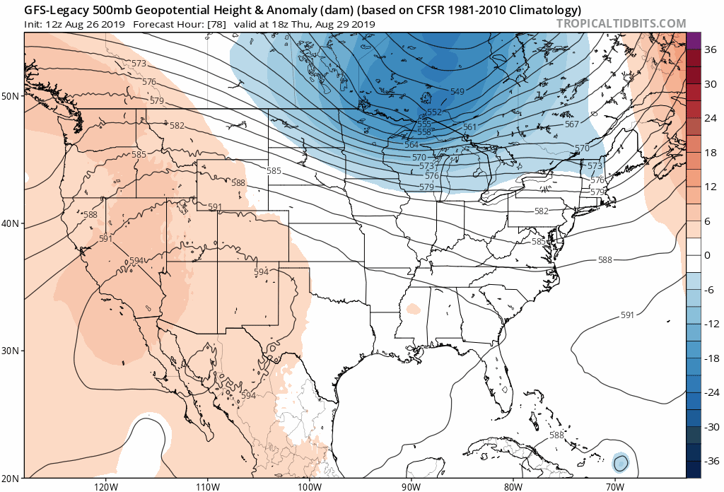
GFS-Legacy on the other hand, has it east of south Fla...headed wnw. hr 108
0 likes

Re: ATL: DORIAN - Models
Rut roh...GFS legacy at 977 mb saturday morning just off Gold Coast. Stronger than previous run.
https://www.tropicaltidbits.com/analysis/models/?model=gfs-legacy®ion=us&pkg=mslp_pcpn_frzn&runtime=2019082618&fh=114
Looks like WPB hit at 975 mb saturday afternoon.
https://www.tropicaltidbits.com/analysis/models/?model=gfs-legacy®ion=us&pkg=mslp_pcpn_frzn&runtime=2019082618&fh=114
Looks like WPB hit at 975 mb saturday afternoon.
Last edited by ronjon on Mon Aug 26, 2019 5:12 pm, edited 1 time in total.
1 likes
Who is online
Users browsing this forum: No registered users and 54 guests