
18Z GFS keeps Dorian weak pretty much all the way, but clearly the vorticity gets split over Hispaniola and can't recover, but does move the energy over SFL...
Moderator: S2k Moderators


Emmett_Brown wrote:18Z HWRF clips the SW corner of PR as a strong TS/borderline cat 1. Slips through the Mona passage, and deepens to 982 mb by 6Z Thursday. So far in the run, appears to be headed for the N coast of Hispaniola

Blown Away wrote:https://i.imgur.com/OdNTIN3.gif
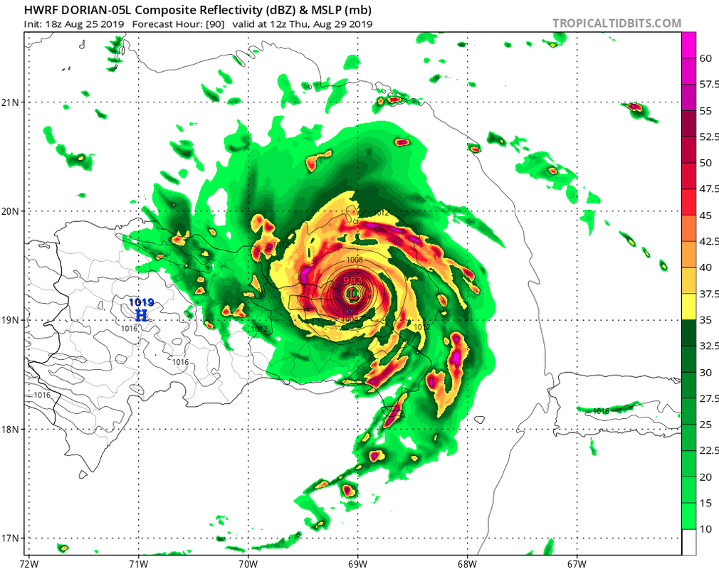
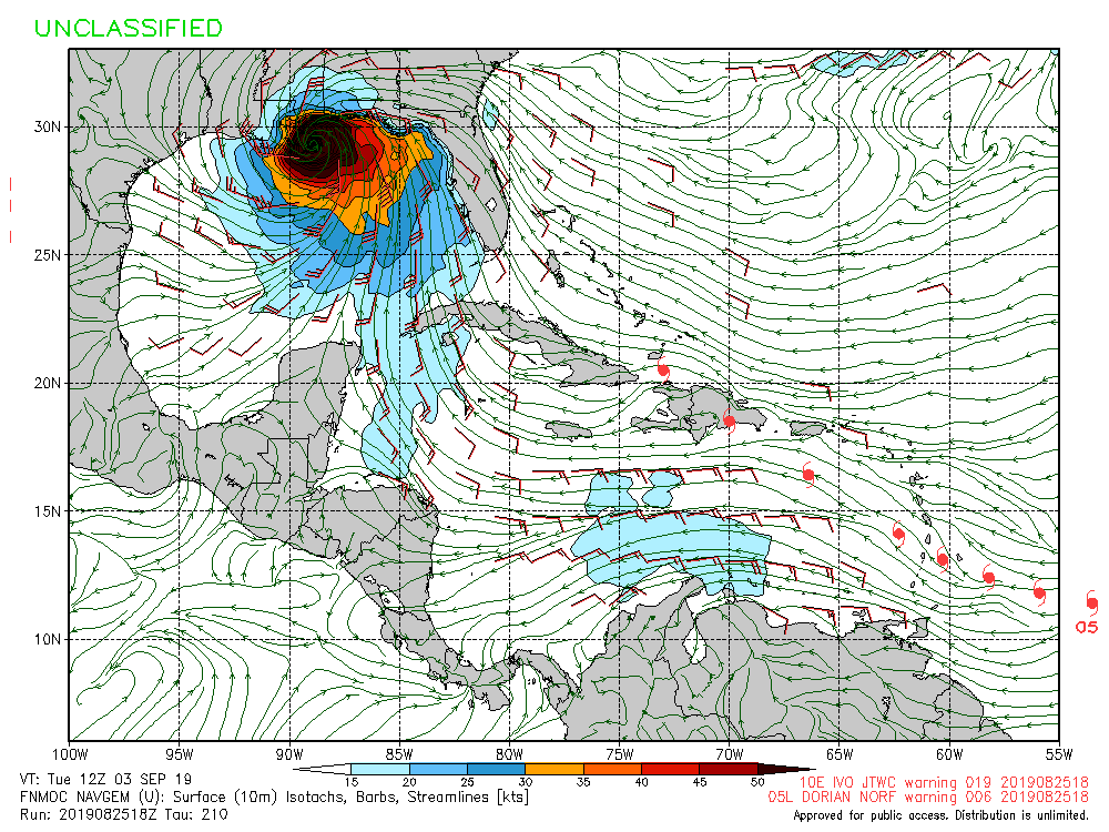
18z HWRF... The universe is back in balance and we can all relax, the HWRF is back where is needs to be blowing up into a Major Hurricane, j/k of course...

Blown Away wrote:https://i.imgur.com/Mkzt3sT.gif
18z HWRF-P


Nimbus wrote:Blown Away wrote:https://i.imgur.com/OdNTIN3.gif
18z HWRF... The universe is back in balance and we can all relax, the HWRF is back where is needs to be blowing up into a Major Hurricane, j/k of course...
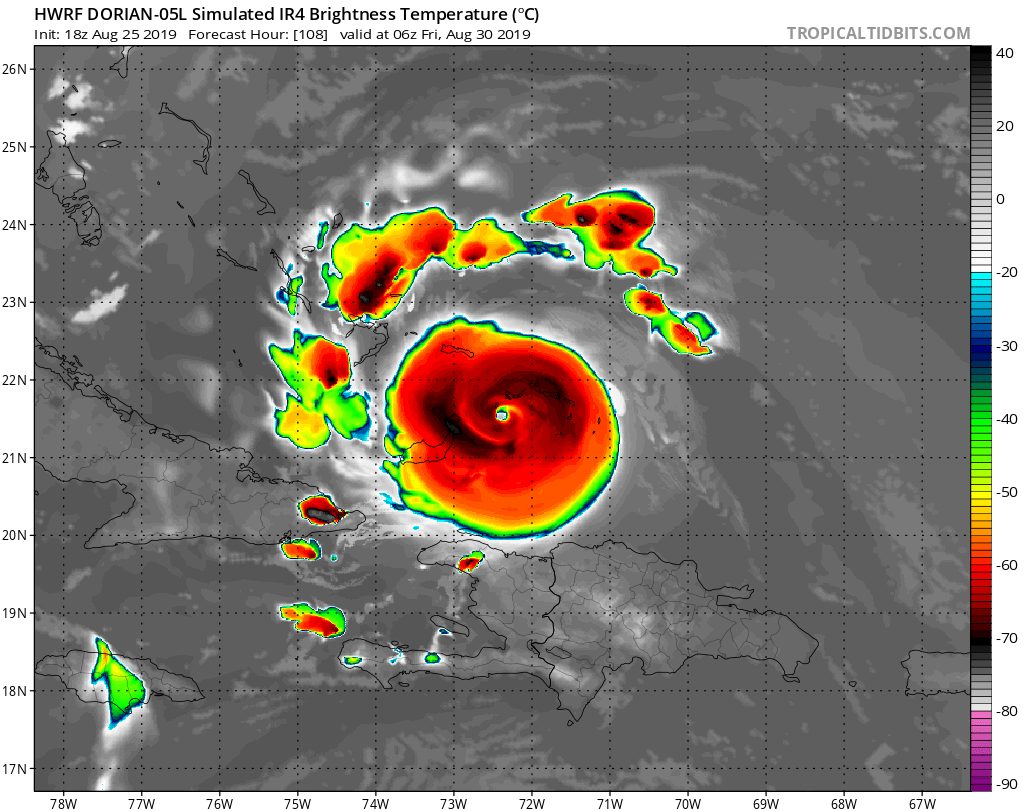
Headed over Nassau and will miss Miami by at least 50 miles.
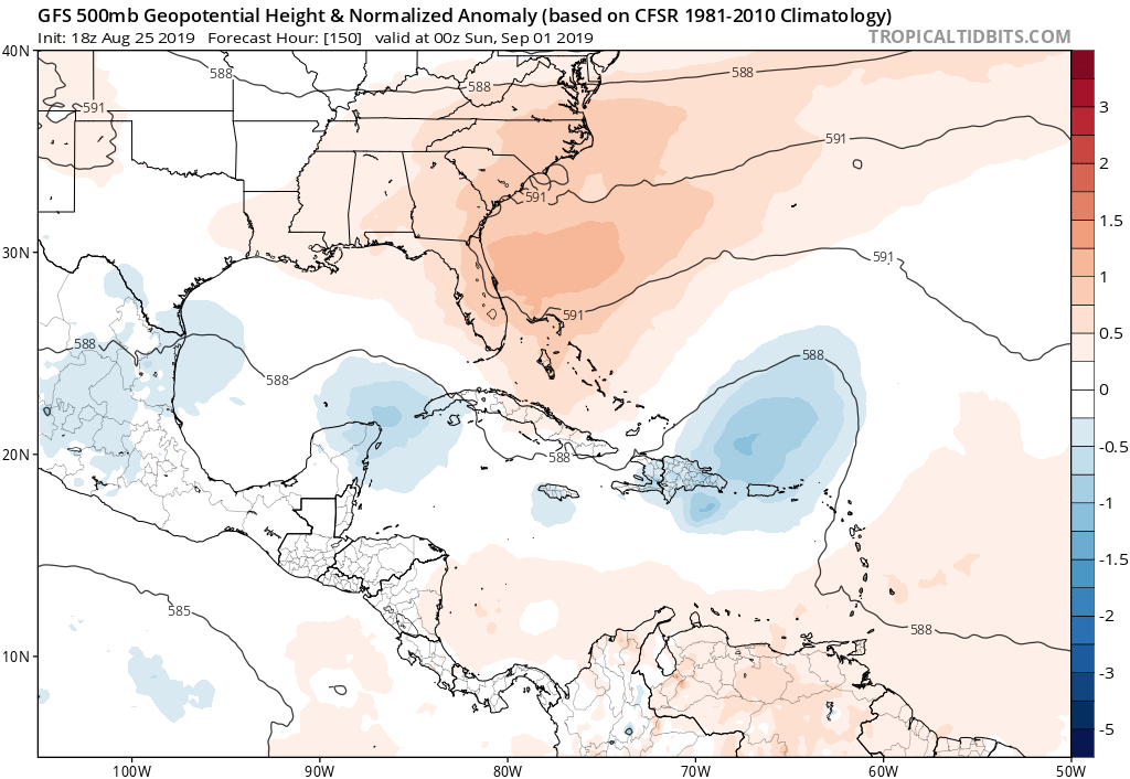
Recurve before the Carolinas?
AutoPenalti wrote:Euro is not even initializing this correctly.
Nimbus wrote:Blown Away wrote:https://i.imgur.com/OdNTIN3.gif
18z HWRF... The universe is back in balance and we can all relax, the HWRF is back where is needs to be blowing up into a Major Hurricane, j/k of course...
Headed over Nassau and will miss Miami by at least 50 miles.
Recurve before the Carolinas?
blp wrote:The Bahamas have to have good conditions because even the Euro and GFS that dissipate the storm try to regenerate once in the Bahamas. I'm keeping my eye on this one because of the Ukmet which does not dissipate and ramps up after Hispaniola. Ukmet occasionally sniffs things out before the others follow
Users browsing this forum: No registered users and 17 guests


