
Indeed it was a short life as a cane. Weakening fast.
Moderator: S2k Moderators


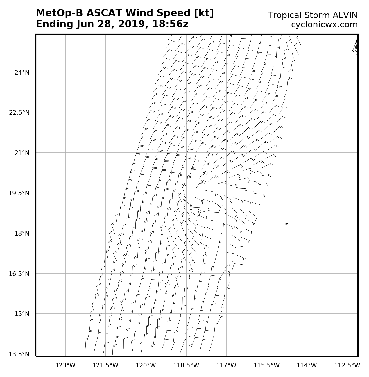


storm_in_a_teacup wrote:1900hurricane wrote:The developing core looks pretty good, but such small systems are notoriously fragile at times. The small size may help shield it against dry air, but any shear (especially mid-level) could take it down in a hurry.
Totally ignorant and out of sync again but...Why exactly would a smaller storm be less vulnerable to dry air? Does the dry air tend to flow around it as opposed to into it?


1900hurricane wrote:storm_in_a_teacup wrote:1900hurricane wrote:The developing core looks pretty good, but such small systems are notoriously fragile at times. The small size may help shield it against dry air, but any shear (especially mid-level) could take it down in a hurry.
Totally ignorant and out of sync again but...Why exactly would a smaller storm be less vulnerable to dry air? Does the dry air tend to flow around it as opposed to into it?
Somewhat. A tropical cyclone is really just a heat engine. Bigger ones require more air to run and therefore more inflow over a larger footprint. A very small system like Alvin doesn't need nearly as much air, meaning it's less likely to pull from somewhere in the surroundings that would have dry air unless it was forcibly injected by shear. Sometimes you'll see huge storms ingest dry air from over 10º away despite a very moist surrounding environment but a small storm seemingly bathing in it be totally fine.
Users browsing this forum: No registered users and 47 guests

