toad strangler wrote:drezee wrote:Hello Florence! Welcome to the party...I hope you like fish...unless the euro is right...
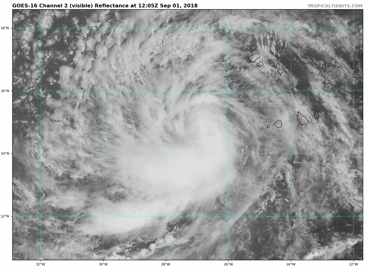
NWS National Hurricane Center Miami FL AL062018
500 AM AST Sat Sep 01 2018
...TROPICAL STORM FLORENCE FORMS JUST WEST OF THE CABO VERDE
ISLANDS.
It is exceedingly difficult and really quite rare for storms that genesis this far E to hit CONUS.
There is a lot of land in the Atlantic other than CONUS. Bermuda is the most likely to be affected by this storm.