weathaguyry wrote:
As of 18:07 UTC Jun 19, 2017:
Aircraft Position: 8.60°N 58.92°W
Bearing: 270° at 237 kt
Altitude: 297 gpm
Peak 10-second Wind: 6 kt at 161°
Extrapolated Sea-level Pressure: 1010.7 mb
175800 0826N 05829W 9766 00305 //// +224 //// 162007 008 021 000 01
175830 0826N 05831W 9771 00301 0112 +225 +219 172007 008 018 001 03
175900 0827N 05832W 9773 00298 0112 +225 +217 182006 007 017 001 03
175930 0828N 05834W 9770 00301 0112 +225 +220 179004 006 017 000 03
180000 0828N 05835W 9769 00302 0113 +224 +220 167003 004 016 000 03
180030 0829N 05837W 9770 00301 0112 +225 +216 191002 003 017 000 03
180100 0828N 05838W 9770 00302 0113 +225 +211 243002 002 010 001 00
180130 0827N 05839W 9772 00301 0113 +225 +214 309001 002 016 000 03
180200 0827N 05841W 9761 00308 0112 +222 +219 110003 005 /// /// 05
180230 0828N 05842W 9772 00299 //// +216 //// 132005 005 014 002 01
180300 0830N 05843W 9772 00299 0113 +225 +214 141004 005 015 001 03
180330 0831N 05843W 9772 00301 0113 +224 +217 175003 004 014 001 05
180400 0832N 05845W 9779 00292 0111 +222 +220 209003 004 021 001 05
180430 0833N 05846W 9768 00301 0111 +224 +218 211005 006 021 001 03
180500 0833N 05848W 9770 00299 0110 +225 +216 217008 009 022 002 00
180530 0834N 05849W 9770 00298 0111 +221 +218 181005 007 031 012 00
180600 0834N 05850W 9768 00299 0111 +216 //// 140005 006 036 012 01
180630 0835N 05852W 9773 00294 0110 +216 //// 125005 006 028 003 01
180700 0836N 05853W 9772 00294 0109 +222 +218 149005 005 026 001 00
180730 0836N 05855W 9769 00297 0107 +225 +218 161006 006 025 001 03
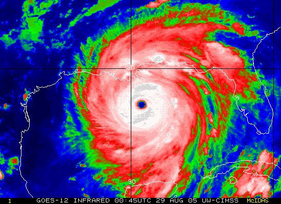
It looks like those are the same 3 image links in every post, which really does no good, since they will continually update to the last image posted, even in the older posts. You probably want to save those images each time and upload them to imgur.


