ATL: MATTHEW - Models
Moderator: S2k Moderators

Re: ATL: MATTHEW - Models
models have been way too fast with the short term motion. Take HWRF for example. It has Matthew at 0Z north of 31N. Instead, it may be around 30.6N
This difference may spare SC from a landfall
This difference may spare SC from a landfall
0 likes

Re: ATL: MATTHEW - Models
Alyono wrote:models have been way too fast with the short term motion. Take HWRF for example. It has Matthew at 0Z north of 31N. Instead, it may be around 30.6N
This difference may spare SC from a landfall
Where did gfs and euro put him?
0 likes
Re: ATL: MATTHEW - Models
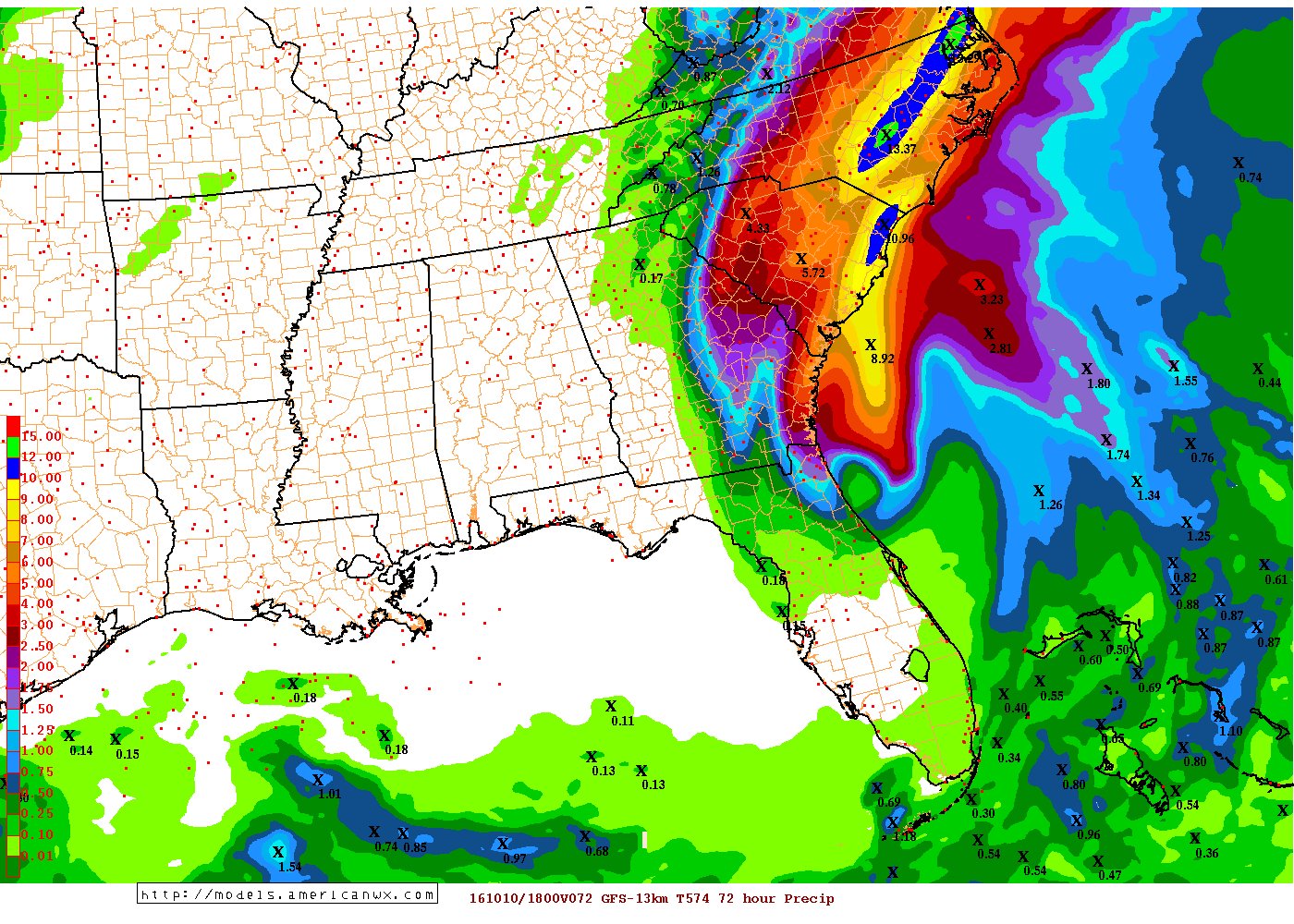
12 inches of rain then. Time to find my car keys. Thanks for the image.
Last edited by Ntxw on Fri Oct 07, 2016 9:52 pm, edited 1 time in total.
Reason: Removed img tags
Reason: Removed img tags
0 likes
-
tolakram
- Admin

- Posts: 20186
- Age: 62
- Joined: Sun Aug 27, 2006 8:23 pm
- Location: Florence, KY (name is Mark)
Re: ATL: MATTHEW - Models
18z GFS close to Savannah and SC coast.

1 likes
M a r k
- - - - -
Join us in chat: Storm2K Chatroom Invite. Android and IOS apps also available.
The posts in this forum are NOT official forecasts and should not be used as such. Posts are NOT endorsed by any professional institution or STORM2K.org. For official information and forecasts, please refer to NHC and NWS products.
-
dukeblue219
- S2K Supporter

- Posts: 556
- Joined: Fri Sep 30, 2016 3:52 pm
Re: ATL: MATTHEW - Models
Alyono wrote:models have been way too fast with the short term motion. Take HWRF for example. It has Matthew at 0Z north of 31N. Instead, it may be around 30.6N
This difference may spare SC from a landfall
Right now HWRF brings the center over Charleston a little after low tide. Any delay from that puts more water into Charleston Harbor.
0 likes
Re: ATL: MATTHEW - Models
Vdogg wrote:Alyono wrote:models have been way too fast with the short term motion. Take HWRF for example. It has Matthew at 0Z north of 31N. Instead, it may be around 30.6N
This difference may spare SC from a landfall
Where did gfs and euro put him?
EC has the right lat, but the lon is a bit too far west
MU is reasonable
0 likes
-
Pughetime12
- Tropical Low

- Posts: 32
- Joined: Thu Oct 06, 2016 1:07 pm
Re: ATL: MATTHEW - Models
Alyono wrote:models have been way too fast with the short term motion. Take HWRF for example. It has Matthew at 0Z north of 31N. Instead, it may be around 30.6N
This difference may spare SC from a landfall
I pray you are right!
0 likes
-
gatorcane

- S2K Supporter
- Posts: 23708
- Age: 48
- Joined: Sun Mar 13, 2005 3:54 pm
- Location: Boca Raton, FL
Re: ATL: MATTHEW - Models
18Z NAVGEM shows Matthew passing close to SE Florida towards the NW Caribbean where it makes a run at a hurricane again  this looks doubtful given it is the NAVGEM

this looks doubtful given it is the NAVGEM
0 likes
-
SouthernBreeze

- Category 1

- Posts: 284
- Age: 69
- Joined: Tue Aug 31, 2004 4:54 pm
- Location: SC/NC line- on the SC Coast
Re: ATL: MATTHEW - Models
HRRR showing it running up SC just off the coast
http://www.tropicaltidbits.com/analysis/models/?model=hrrr®ion=atl&pkg=z500_mslp&runtime=2016100717&fh=31&xpos=0&ypos=148
http://www.tropicaltidbits.com/analysis/models/?model=hrrr®ion=atl&pkg=z500_mslp&runtime=2016100717&fh=31&xpos=0&ypos=148
0 likes
My posts are NOT official forecast and should not be used as such. It's just my opinion and not backed by sound meteorological data, and NOT endorsed by any professional institution or storm2k.org. For official information, please refer to the NHC and NWS products.
grazed by many - most wind damage: Hugo (pre-cellphone days!) & most water: Floyd
grazed by many - most wind damage: Hugo (pre-cellphone days!) & most water: Floyd
Re: ATL: MATTHEW - Models
SouthernBreeze wrote:HRRR showing it running up SC just off the coast
http://www.tropicaltidbits.com/analysis/models/?model=hrrr®ion=atl&pkg=z500_mslp&runtime=2016100717&fh=31&xpos=0&ypos=148
lets not use this model again
4 likes
-
SouthernBreeze
- Category 1
- Posts: 284
- Age: 69
- Joined: Tue Aug 31, 2004 4:54 pm
- Location: SC/NC line- on the SC Coast
Re: ATL: MATTHEW - Models
OK - reason? You don't feel its accurate enough?
0 likes
My posts are NOT official forecast and should not be used as such. It's just my opinion and not backed by sound meteorological data, and NOT endorsed by any professional institution or storm2k.org. For official information, please refer to the NHC and NWS products.
grazed by many - most wind damage: Hugo (pre-cellphone days!) & most water: Floyd
grazed by many - most wind damage: Hugo (pre-cellphone days!) & most water: Floyd
-
WeatherHoon
- Tropical Storm

- Posts: 131
- Joined: Sat Oct 01, 2016 6:12 am
Re: ATL: MATTHEW - Models
gatorcane wrote:18Z NAVGEM shows Matthew passing close to SE Florida towards the NW Caribbean where it makes a run at a hurricane again
https://s11.postimg.org/lw2l3qzn7/navge ... atl_24.png
CMC shows the same thing happening.
Last edited by Ntxw on Fri Oct 07, 2016 9:52 pm, edited 1 time in total.
Reason: Removed img tags
Reason: Removed img tags
0 likes
-
SouthernBreeze
- Category 1
- Posts: 284
- Age: 69
- Joined: Tue Aug 31, 2004 4:54 pm
- Location: SC/NC line- on the SC Coast
Re: ATL: MATTHEW - Models
most models seem pretty much in agreement for track up off SC right now. I wish I could find a good strength predictor!
0 likes
My posts are NOT official forecast and should not be used as such. It's just my opinion and not backed by sound meteorological data, and NOT endorsed by any professional institution or storm2k.org. For official information, please refer to the NHC and NWS products.
grazed by many - most wind damage: Hugo (pre-cellphone days!) & most water: Floyd
grazed by many - most wind damage: Hugo (pre-cellphone days!) & most water: Floyd
-
jlauderdal
- S2K Supporter
- Posts: 7240
- Joined: Wed May 19, 2004 5:46 am
- Location: NE Fort Lauderdale
- Contact:
Re: ATL: MATTHEW - Models
gatorcane wrote:18Z NAVGEM shows Matthew passing close to SE Florida towards the NW Caribbean where it makes a run at a hurricane again
https://s11.postimg.org/lw2l3qzn7/navge ... atl_24.png
Ha, the navgem wasn't terrible...it latched on to the west idea way before euro and gfs did last weekend
Last edited by Ntxw on Fri Oct 07, 2016 9:52 pm, edited 1 time in total.
Reason: Removed img tags
Reason: Removed img tags
0 likes
-
wxmann_91

- Category 5

- Posts: 8007
- Age: 34
- Joined: Fri Jul 15, 2005 2:49 pm
- Location: Southern California
- Contact:
Re: ATL: MATTHEW - Models
jlauderdal wrote:gatorcane wrote:18Z NAVGEM shows Matthew passing close to SE Florida towards the NW Caribbean where it makes a run at a hurricane again
https://s11.postimg.org/lw2l3qzn7/navge ... atl_24.png
Ha, the navgem wasn't terrible...it latched on to the west idea way before euro and gfs did last weekend
It also showed Miami...
1 likes
-
GeneratorPower

- S2K Supporter
- Posts: 1648
- Age: 46
- Joined: Sun Dec 18, 2005 11:48 pm
- Location: Huntsville, AL
Re: ATL: MATTHEW - Models
I think the takeaway from Matthew and the models is that in general the Euro and GFS did a good job showing us up to day 4 approximately what would happen. Not exactly but very useable. Day 5 and beyond not so much.
I think it's natural for weather geeks like me to really WANT to know what's gonna happen so we look at the long ranges. We hope that somehow the long range runs beyond say 4 days are going to tell us something meaningful. In fact they don't. Just look at the evolution of the steering pattern for Matthew and the sizes of the ridges and cutoff lows. Some features were modeled but never appeared. At least nothing close to the shape and size indicated at day 6.
For the next storm, I'm going to try and really ignore the longer ranges. It causes only disappointment, stress, unfounded excitement, unfounded concern. You've gotta wait until day 3 to really know where a storm is going when you have a recurve potential and or coast hugging situation.
I just wish that the TV promets and even some of the better internet mets would take a step back and stop acting at day 6 like they really know the answer. It isn't helpful. And the TV mets with their desperate need to be first on the story are incessantly declaring all clears when they should be more patient. A lot of pride there. One day it will go before a fall.
2 likes
-
jlauderdal
- S2K Supporter
- Posts: 7240
- Joined: Wed May 19, 2004 5:46 am
- Location: NE Fort Lauderdale
- Contact:
Re: ATL: MATTHEW - Models
wxmann_91 wrote:jlauderdal wrote:gatorcane wrote:18Z NAVGEM shows Matthew passing close to SE Florida towards the NW Caribbean where it makes a run at a hurricane again
https://s11.postimg.org/lw2l3qzn7/navge ... atl_24.png
Ha, the navgem wasn't terrible...it latched on to the west idea way before euro and gfs did last weekend
It also showed Miami...
Yes it did which was much closer to reality than euro and gfs which were way east..navgem was west a week ago
0 likes
-
dukeblue219
- S2K Supporter
- Posts: 556
- Joined: Fri Sep 30, 2016 3:52 pm
Re: ATL: MATTHEW - Models
SouthernBreeze wrote:OK - reason? You don't feel its accurate enough?
The HRRR is not a tropical model. It models regional thunderstorms that are a few hours out. It's not completely wrong -- Matthew is a big thunderstorm -- but it won't capture anything beyond the next few hours very well.
For this system, the HRRR is good if you want to ask "hey, I wonder when that next feeder band is supposed to come by, and how strong it will be." You can't get that information from something like the Euro or GFS with sufficient detail. If you want to know whether the system will make landfall or curve out to sea, it's not the best place to look.
0 likes
Who is online
Users browsing this forum: No registered users and 14 guests