
12z Intensity Guidance

Moderator: S2k Moderators


northjaxpro wrote:Regarding 98L long range, just want to re'emphasize again that the recurve scenario is certainly no guarantee just yet. I know you guys know this, but I just felt the need to state this nonetheless.....
BobHarlem wrote:northjaxpro wrote:Regarding 98L long range, just want to re'emphasize again that the recurve scenario is certainly no guarantee just yet. I know you guys know this, but I just felt the need to state this nonetheless.....
Both major model sets show it and climatology favors it, what you say may be true, but the odds favor it recurving.
LarryWx wrote:BobHarlem wrote:northjaxpro wrote:Regarding 98L long range, just want to re'emphasize again that the recurve scenario is certainly no guarantee just yet. I know you guys know this, but I just felt the need to state this nonetheless.....
Both major model sets show it and climatology favors it, what you say may be true, but the odds favor it recurving.
IF it becomes a TC in the E MDR, then odds would strongly favor it not reaching the CONUS, especially with it being a strong El Niño, due mainly to recurvature or dissipation before it could reach there. The longterm odds of any one system developing there in August and reaching the CONUS during a strong Nino is likely no higher than about 15% based on many decades of records. However, that means there is always the chance this one would be an exception such as was the case in 1899:
http://weather.unisys.com/hurricane/atl ... /track.gif
However, IF 98L were to not become a TC until much further west, say close to the Lesser Antilles, then that would obviously be a whole different ballgame oddswise, especially if it were to become a Caribbean Cruiser. It is way too early to know where, if at all, it will become a TC.


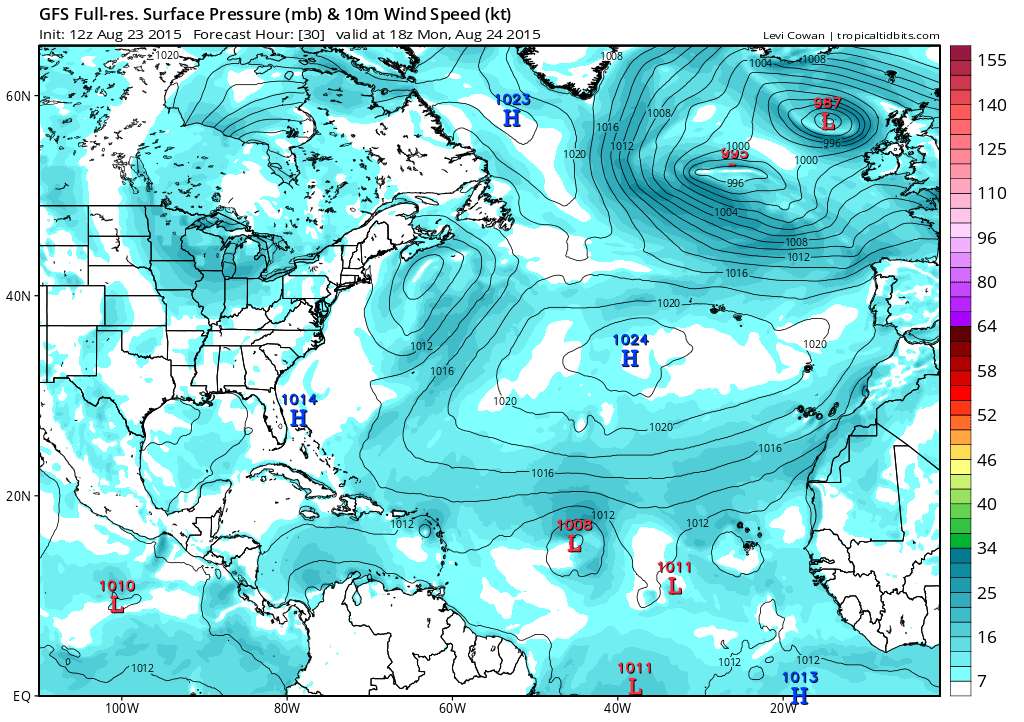
SFLcane wrote:It's recurve city apparently with all these waves which is always a good thing. GFS ensembles showing just that with a weakness in subtropical ridge. Maybe a threat to Bermuda we shall see.
SFLcane wrote:Heres a view...ensembles.


SFLcane wrote:It's recurve city apparently with all these waves which is always a good thing. GFS ensembles showing just that with a weakness in subtropical ridge. Maybe a threat to Bermuda we shall see.
perk wrote:
Only the GFS ensembles,what does the Euro ensembles show.
SouthDadeFish wrote:SFLcane wrote:It's recurve city apparently with all these waves which is always a good thing. GFS ensembles showing just that with a weakness in subtropical ridge. Maybe a threat to Bermuda we shall see.
Sure, if you trust 10-day model forecasts. And by the way, the deterministic run of the 00Z Euro brings this storm through the northern Antilles, near the Bahamas, and quite close to the eastern U.S. with a mid-level ridge building in over SE Canada. Way too early to say right now.
northjaxpro wrote:Odds favor the recurve scenario. I am not questioning that. I did not know I was opening a can of worms about this. I simply made a point in saying it is still early in the game and that the recurve scenario is not for certain yet a guarantee. Just remember folks this is a science and there are no 100% guarantees in weather forecasting you can this fact to the bank and deposit it!!!!
SFLcane wrote:SouthDadeFish wrote:SFLcane wrote:It's recurve city apparently with all these waves which is always a good thing. GFS ensembles showing just that with a weakness in subtropical ridge. Maybe a threat to Bermuda we shall see.
Sure, if you trust 10-day model forecasts. And by the way, the deterministic run of the 00Z Euro brings this storm through the northern Antilles, near the Bahamas, and quite close to the eastern U.S. with a mid-level ridge building in over SE Canada. Way too early to say right now.
Na ive yet to see any evidence of any type mid level ridging worth driving anything that far west. Odds are a trof will weaken the ridge and keep the 10+ year door open.
Users browsing this forum: No registered users and 24 guests


