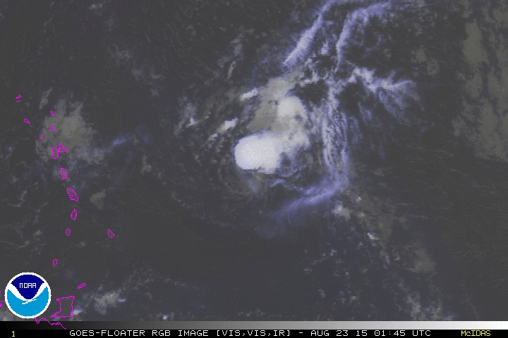
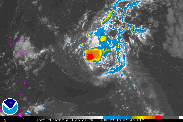
#1522 Postby Gustywind » Sat Aug 22, 2015 6:56 pm
000
WTNT34 KNHC 222353
TCPAT4
BULLETIN
TROPICAL STORM DANNY INTERMEDIATE ADVISORY NUMBER 18A
NWS NATIONAL HURRICANE CENTER MIAMI FL AL042015
800 PM AST SAT AUG 22 2015
...DANNY WEAKENS TO A TROPICAL STORM...
SUMMARY OF 800 PM AST...0000 UTC...INFORMATION
----------------------------------------------
LOCATION...15.6N 54.1W
ABOUT 520 MI...840 KM ESE OF THE LEEWARD ISLANDS
MAXIMUM SUSTAINED WINDS...65 MPH...105 KM/H
PRESENT MOVEMENT...W OR 280 DEGREES AT 14 MPH...22 KM/H
MINIMUM CENTRAL PRESSURE...997 MB...29.44 INCHES
WATCHES AND WARNINGS
--------------------
CHANGES WITH THIS ADVISORY:
None.
SUMMARY OF WATCHES AND WARNINGS IN EFFECT:
A Tropical Storm Watch is in effect for...
* Antigua, Barbuda, Montserrat, St. Kitts, Nevis, and Anguilla
* Saba and St. Eustatius
* St. Maarten
* Guadeloupe, St. Barthelemy, and St. Martin
A Tropical Storm Watch means that tropical storm conditions are
possible within the watch area, generally within 48 hours.
Interests elsewhere in the U. S. and British Virgin Islands, Puerto
Rico, and the Dominican Republic should monitor the progress of
Danny. Additional watches or warnings may be required for portions
of these areas tonight or Sunday.
For storm information specific to your area, please monitor products
issued by your national meteorological service.
0 likes


