ATL: GORDON - Post-Tropical
Moderator: S2k Moderators

Indeed as I said before there does seem to be alot of dry air forecasted to be up between 20-30N which may well hurt this systems developmental chances. I wouldn't be shocked if this does become a hurricane though a long way down the line (say once north of 30N and recurving) but we'll see.
0 likes
Personal Forecast Disclaimer:
The posts in this forum are NOT official forecast and should not be used as such. They are just the opinion of the poster and may or may not be backed by sound meteorological data. They are NOT endorsed by any professional institution or storm2k.org. For official information, please refer to the NHC and NWS products
The posts in this forum are NOT official forecast and should not be used as such. They are just the opinion of the poster and may or may not be backed by sound meteorological data. They are NOT endorsed by any professional institution or storm2k.org. For official information, please refer to the NHC and NWS products
-
tolakram
- Admin

- Posts: 20188
- Age: 62
- Joined: Sun Aug 27, 2006 8:23 pm
- Location: Florence, KY (name is Mark)
Re: ATL: INVEST 93L
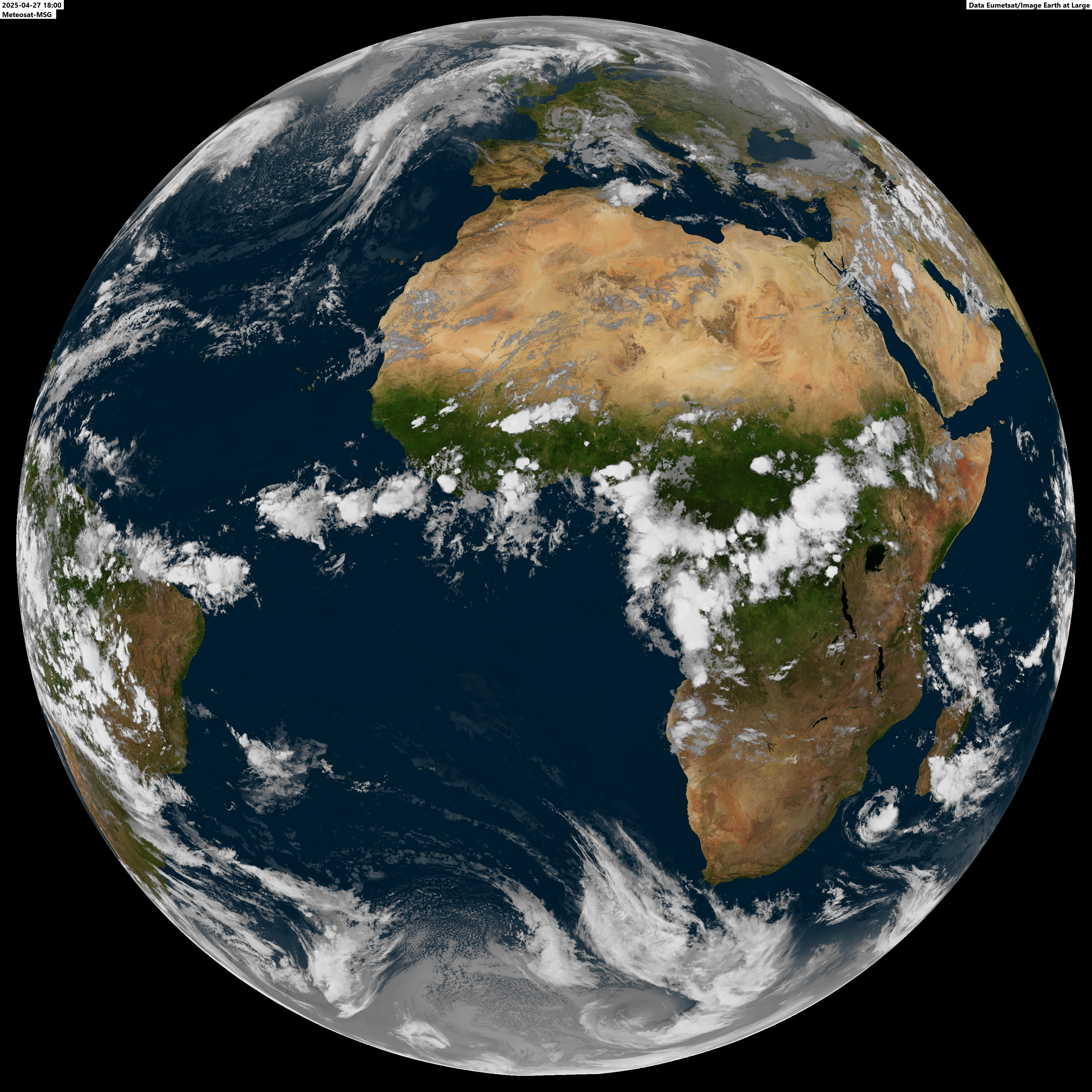
Latest loop:

0 likes
M a r k
- - - - -
Join us in chat: Storm2K Chatroom Invite. Android and IOS apps also available.
The posts in this forum are NOT official forecasts and should not be used as such. Posts are NOT endorsed by any professional institution or STORM2K.org. For official information and forecasts, please refer to NHC and NWS products.
-
Aric Dunn
- Category 5

- Posts: 21238
- Age: 43
- Joined: Sun Sep 19, 2004 9:58 pm
- Location: Ready for the Chase.
- Contact:
Dont think we will see development for a few days till it can reach warmer water and more unstable environment. By then should already be far enough north that it will head out to see. unless it does something similar to IKE
12z gfs today looks about right... may never actually develop.
12z gfs today looks about right... may never actually develop.
0 likes
Note: If I make a post that is brief. Please refer back to previous posts for the analysis or reasoning. I do not re-write/qoute what my initial post said each time.
If there is nothing before... then just ask
Space & Atmospheric Physicist, Embry-Riddle Aeronautical University,
I believe the sky is falling...
If there is nothing before... then just ask
Space & Atmospheric Physicist, Embry-Riddle Aeronautical University,
I believe the sky is falling...
-
rainstorm
Re:
Aric Dunn wrote:Dont think we will see development for a few days till it can reach warmer water and more unstable environment. By then should already be far enough north that it will head out to see. unless it does something similar to IKE
12z gfs today looks about right... may never actually develop.
i agree. its not likely to do anything. the loop that was posted basically shows a weak swirl of clouds.
0 likes
-
AEWspotter
- Professional-Met

- Posts: 57
- Joined: Wed Aug 08, 2012 9:41 am
I don't think the southern circulation should be ignored here. There has been persistent convection there and an 850mb vorticity signature. As the northern low moves away from this southern feature... over cooler water and into an environment of dry air... I think we will have an opportunity for a low latitude depression to form. I don't think any of the models are suggesting this. I still think the northern low has a shot, but it will have to get its act together rather quickly.

0 likes
-
hurricanes1234
- Category 5
- Posts: 2908
- Joined: Sat Jul 28, 2012 6:19 pm
- Location: Trinidad and Tobago
Re: ATL: INVEST 93L
Down to 30%. The NHC was right when they said that it'll be hitting colder waters very soon. Please send me a message when the next promising wave comes along, you all seem to know before me.
ZCZC MIATWOAT ALL TTAA00 KNHC DDHHMM
TROPICAL WEATHER OUTLOOK NWS NATIONAL HURRICANE CENTER MIAMI FL 200 PM EDT FRI AUG 10 2012
FOR THE NORTH ATLANTIC...CARIBBEAN SEA AND THE GULF OF MEXICO...
1. SHOWER AND THUNDERSTORM ACTIVITY IS DIMINISHING NEAR A LOW PRESSURE SYSTEM LOCATED OVER THE FAR EASTERN ATLANTIC JUST TO THE EAST OF THE CAPE VERDE ISLANDS. THE LOW IS MOVING TOWARD COLDER WATER... AND THE LIKELIHOOD OF DEVELOPMENT OVER THE NEXT COUPLE OF DAYS APPEARS TO BE DECREASING. THIS SYSTEM HAS A MEDIUM CHANCE...30 PERCENT...OF BECOMING A TROPICAL CYCLONE DURING THE NEXT 48 HOURS AS IT MOVES WEST-NORTHWESTWARD AT ABOUT 20 MPH. GUSTY WINDS AND LOCALLY HEAVY RAINS ARE STILL POSSIBLE OVER PORTIONS OF THE CAPE VERDE ISLANDS THROUGH SATURDAY MORNING.
ELSEWHERE...TROPICAL CYCLONE FORMATION IS NOT EXPECTED DURING THE NEXT 48 HOURS.
0 likes
PLEASE NOTE: With the exception of information from weather agencies that I may copy and paste here, my posts will NEVER be official, since I am NOT a meteorologist. They are solely my amateur opinion, and may or may not be accurate. Therefore, please DO NOT use them as official details, particularly when making important decisions. Thank you.

-
Aric Dunn
- Category 5
- Posts: 21238
- Age: 43
- Joined: Sun Sep 19, 2004 9:58 pm
- Location: Ready for the Chase.
- Contact:
Re:
AEWspotter wrote:I don't think the southern circulation should be ignored here. There has been persistent convection there and an 850mb vorticity signature. As the northern low moves away from this southern feature... over cooler water and into an environment of dry air... I think we will have an opportunity for a low latitude depression to form. I don't think any of the models are suggesting this. I still think the northern low has a shot, but it will have to get its act together rather quickly.
[img]http://maloney.atmos.colostate.edu/galaka/gif/eatl_wv_loop.gif[/ig]
Yeah that is quite possible. see it happen a few times.
0 likes
Note: If I make a post that is brief. Please refer back to previous posts for the analysis or reasoning. I do not re-write/qoute what my initial post said each time.
If there is nothing before... then just ask
Space & Atmospheric Physicist, Embry-Riddle Aeronautical University,
I believe the sky is falling...
If there is nothing before... then just ask
Space & Atmospheric Physicist, Embry-Riddle Aeronautical University,
I believe the sky is falling...
-
cheezyWXguy

- Category 5
- Posts: 6284
- Joined: Mon Feb 13, 2006 12:29 am
- Location: Dallas, TX
Re:
AEWspotter wrote:I don't think the southern circulation should be ignored here. There has been persistent convection there and an 850mb vorticity signature. As the northern low moves away from this southern feature... over cooler water and into an environment of dry air... I think we will have an opportunity for a low latitude depression to form. I don't think any of the models are suggesting this. I still think the northern low has a shot, but it will have to get its act together rather quickly.
http://maloney.atmos.colostate.edu/gala ... v_loop.gif
I did notice that. At first I just wrote it off as an area of convection in the ITCZ that would die out, but it has remained fairly persistent and does have a little bit of a spin to it. We will have to see what happens.
0 likes

Re: Re:
cheezyWXguy wrote:AEWspotter wrote:I don't think the southern circulation should be ignored here. There has been persistent convection there and an 850mb vorticity signature. As the northern low moves away from this southern feature... over cooler water and into an environment of dry air... I think we will have an opportunity for a low latitude depression to form. I don't think any of the models are suggesting this. I still think the northern low has a shot, but it will have to get its act together rather quickly.
http://maloney.atmos.colostate.edu/gala ... v_loop.gif
I did notice that. At first I just wrote it off as an area of convection in the ITCZ that would die out, but it has remained fairly persistent and does have a little bit of a spin to it. We will have to see what happens.
It sure seems to in a conducive area for development as opposed to going into cold waters but the ITCZ may be making it look better than it actually is
0 likes
-
AEWspotter
- Professional-Met
- Posts: 57
- Joined: Wed Aug 08, 2012 9:41 am
Re: Re:
cheezyWXguy wrote:AEWspotter wrote:I don't think the southern circulation should be ignored here. There has been persistent convection there and an 850mb vorticity signature. As the northern low moves away from this southern feature... over cooler water and into an environment of dry air... I think we will have an opportunity for a low latitude depression to form. I don't think any of the models are suggesting this. I still think the northern low has a shot, but it will have to get its act together rather quickly.
http://maloney.atmos.colostate.edu/gala ... v_loop.gif
I did notice that. At first I just wrote it off as an area of convection in the ITCZ that would die out, but it has remained fairly persistent and does have a little bit of a spin to it. We will have to see what happens.
Often times persistent convection in the ITCZ will break down into vortices. This is commonly seen in the Pacific, and it might be what we are seeing in the far eastern Atlantic...
0 likes
-
cheezyWXguy
- Category 5
- Posts: 6284
- Joined: Mon Feb 13, 2006 12:29 am
- Location: Dallas, TX
Re: Re:
AEWspotter wrote:cheezyWXguy wrote:AEWspotter wrote:I don't think the southern circulation should be ignored here. There has been persistent convection there and an 850mb vorticity signature. As the northern low moves away from this southern feature... over cooler water and into an environment of dry air... I think we will have an opportunity for a low latitude depression to form. I don't think any of the models are suggesting this. I still think the northern low has a shot, but it will have to get its act together rather quickly.
http://maloney.atmos.colostate.edu/gala ... v_loop.gif
I did notice that. At first I just wrote it off as an area of convection in the ITCZ that would die out, but it has remained fairly persistent and does have a little bit of a spin to it. We will have to see what happens.
Often times persistent convection in the ITCZ will break down into vortices. This is commonly seen in the Pacific, and it might be what we are seeing in the far eastern Atlantic...
In fact, the fact that we now have to areas of vorticity, one in a moist and favorable environment while the other in a dry and unfavorable one, makes me want to think that this is why the GFS has been so distinctly back and forth between developing a monster and showing nothing. As far as I know, the model never forecast there to be 2 areas of vorticity with this wave, and may not have seen the whole picture as to exactly how the system would evolve and the conditions it would be exposed to. While the southern area is much weaker, it has a lot more to work with while the northern would likely swirl out to sea or degenerate regardless of its initial strength.
0 likes
-
Extratropical94

- Professional-Met
- Posts: 3545
- Age: 31
- Joined: Wed Oct 20, 2010 6:36 am
- Location: Hamburg, Germany
- Contact:
18Z BT update, weakened considerably:
AL, 93, 2012081018, , BEST, 0, 169N, 216W, 25, 1007, LO
Previous (12Z):
AL, 93, 2012081012, , BEST, 0, 160N, 206W, 30, 1004, DB
AL, 93, 2012081018, , BEST, 0, 169N, 216W, 25, 1007, LO
Previous (12Z):
AL, 93, 2012081012, , BEST, 0, 160N, 206W, 30, 1004, DB
0 likes
54° 11' 59'' N, 9° 9' 20'' E
Boomer Sooner!
Go Broncos! Go Cards!
Clinching counties, one at a time: https://mob-rule.com/user-gifs/USA/xtrp94.gif
- Daniel
Boomer Sooner!
Go Broncos! Go Cards!
Clinching counties, one at a time: https://mob-rule.com/user-gifs/USA/xtrp94.gif
- Daniel
-
AEWspotter
- Professional-Met
- Posts: 57
- Joined: Wed Aug 08, 2012 9:41 am
The weakening is not surprising given the "hollow" appearance of the cloud structure. The northern part of 93L is going to need some sort of instability to kickoff some convection, but the SSTs are trending down along its path for the next few days. Most models take it generally WNW to about 25N,50W in 4 days, where SSTS are above 27C and this system has a real shot. Up until then, I think this system will be disorganized. Even if it does muster the energy to be named before then, it would be a minimal tropical storm until it reaches warmer waters...


0 likes
-
OuterBanker
- S2K Supporter

- Posts: 1761
- Joined: Wed Feb 26, 2003 10:53 am
- Location: Nags Head, NC
- Contact:
Re: ATL: INVEST 93L
Interesting. It seems 93l is heading wnw into less favorable conditions while the lower vortex (around 9n 22 w @18 utc) is in a more favorable area and heading west.
Mets, can vortice two take over if it gains a little latitude and more seperation occurs, or are both doomed?
Mets, can vortice two take over if it gains a little latitude and more seperation occurs, or are both doomed?
0 likes
-
PTrackerLA

- Category 5
- Posts: 5281
- Age: 42
- Joined: Thu Oct 10, 2002 8:40 pm
- Location: Lafayette, LA
-
AEWspotter
- Professional-Met
- Posts: 57
- Joined: Wed Aug 08, 2012 9:41 am
The harsh conditions are limited to low SSTs. I think this system is under ~10kts of shear, which is common for this part of the world with the African easterly jet extending out into the East Atlantic. As long as this system can hold together while it traverses <26C water, and the cold low in the central Atlantic isn't around to tear it to shreds, I think 93L-north has a shot in about 3.5-4 days. That's a lot of IF's, but we'll see. There are a few studies that show how a really strong AEW can actually bring about its own demise by entraining too much dry air from a strong circulation. It just goes to show that strong wave does not equal developing TC. PTrackerLA, it may be a theme for the season for waves that emerge at or north of 15N. I think waves to the south will have plenty of warm water to work with.
I'm not as impressed with 93L-south as I was earlier today. I still think it has a shot, but it has a long way to go.
I'm not as impressed with 93L-south as I was earlier today. I still think it has a shot, but it has a long way to go.
0 likes
-
cycloneye

- Admin
- Posts: 149822
- Age: 69
- Joined: Thu Oct 10, 2002 10:54 am
- Location: San Juan, Puerto Rico
Re: ATL: INVEST 93L
Down to 20% but read highlighted sentence.
TROPICAL WEATHER OUTLOOK
NWS NATIONAL HURRICANE CENTER MIAMI FL
800 PM EDT FRI AUG 10 2012
FOR THE NORTH ATLANTIC...CARIBBEAN SEA AND THE GULF OF MEXICO...
THE NATIONAL HURRICANE CENTER IS ISSUING ADVISORIES ON TROPICAL
DEPRESSION SEVEN...LOCATED ABOUT 450 MILES EAST OF BARBADOS.
SHOWER AND THUNDERSTORM ACTIVITY REMAINS MINIMAL NEAR A BROAD LOW
PRESSURE AREA LOCATED OVER THE FAR EASTERN ATLANTIC JUST TO THE
NORTH OF THE CAPE VERDE ISLANDS. ANY DEVELOPMENT OF THIS SYSTEM IS
LIKELY TO BE SLOW TO OCCUR UNTIL THE LOW REACHES WARMER WATERS IN A
COUPLE OF DAYS. THIS SYSTEM HAS A LOW CHANCE...20 PERCENT...OF
BECOMING A TROPICAL CYCLONE DURING THE NEXT 48 HOURS AS IT MOVES
WEST-NORTHWESTWARD AT ABOUT 20 MPH.
ELSEWHERE...TROPICAL CYCLONE FORMATION IS NOT EXPECTED DURING THE
NEXT 48 HOURS.
$$
FORECASTER BLAKE
0 likes
Visit the Caribbean-Central America Weather Thread where you can find at first post web cams,radars
and observations from Caribbean basin members Click Here
and observations from Caribbean basin members Click Here

Re: ATL: INVEST 93L
I have seen intense hurricanes form from not so impressive tropical waves. The tropical waves that are not impressive are the ones I would be concern about.
0 likes
-
cycloneye
- Admin
- Posts: 149822
- Age: 69
- Joined: Thu Oct 10, 2002 10:54 am
- Location: San Juan, Puerto Rico
Re: ATL: INVEST 93L
00z Best Track
They released the 00z late.
AL, 93, 2012081100, , BEST, 0, 175N, 230W, 25, 1008, LO
ftp://ftp.nhc.noaa.gov/atcf/tcweb/inves ... 012.invest
They released the 00z late.
AL, 93, 2012081100, , BEST, 0, 175N, 230W, 25, 1008, LO
ftp://ftp.nhc.noaa.gov/atcf/tcweb/inves ... 012.invest
0 likes
Visit the Caribbean-Central America Weather Thread where you can find at first post web cams,radars
and observations from Caribbean basin members Click Here
and observations from Caribbean basin members Click Here
Who is online
Users browsing this forum: No registered users and 11 guests