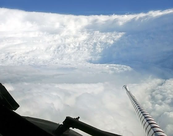
But how much farther north does Leslie have to go before these islands are in the clear? I thought by 2 pm today it would be blue skies here. (at least in Nevis). Leslie is annoying me. The center is hundreds of miles north and we are still being affected. It seems to keep pushing stuff south.
I can only tell you that as long she continues to move slowly,those high clouds will remain above the NE Caribbean. Hopefully by Tuesday or Wednesday she is more north that the cloud deck goes away.