ATL: EMILY - Remnants
Moderator: S2k Moderators

Re: ATL: EMILY - Tropical Storm - Discussion
I'm also concerned about people having time to prepare. I know they should have everything set by now, but what is shutters need to be installed at the eleventh hour? Heaven forbid, Emily gets up to cat 2 or so, and people want to evacuate but don't have time. I just want to see her go poof! 
0 likes
-
SFLcane

- S2K Supporter

- Posts: 10281
- Age: 48
- Joined: Sat Jun 05, 2010 1:44 pm
- Location: Lake Worth Florida
Re: ATL: EMILY - Models
Bocadude85 wrote:WIll someone post a link for the GFS please
[http://mag.ncep.noaa.gov/NCOMAGWEB/appcontroller?prevPage=Model&MainPage=index&model=GFS&area=ATLANTIC&areaDesc=Atlantic+region&page=Model&prevModel=&prevArea=ATLANTIC&currKey=model&prevKey=model&cat=MODEL+GUIDANCE
0 likes
Re: ATL: EMILY - Tropical Storm - Discussion
Thanks for your opinion, Jeremy. If not in the morning, I wonder when ts watches would go up.
0 likes


Re: ATL: EMILY - Tropical Storm - Discussion
Is the circulation, near 70 and 17 lon lat
0 likes
Once I see the REDS and GREENS Converge on a Base Velocity. ... I'm There!!
This is NOT an Official Forecast....Just my Opinion. For official information, please refer to the NHC and NWS products.
HIGHLIGHTS : '13 El Reno Tornado : 2013 Storm Chaser Tour, Joaquin; SC flood event, Matthew '16, Lowcountry Snow storm Jan '18
This is NOT an Official Forecast....Just my Opinion. For official information, please refer to the NHC and NWS products.
HIGHLIGHTS : '13 El Reno Tornado : 2013 Storm Chaser Tour, Joaquin; SC flood event, Matthew '16, Lowcountry Snow storm Jan '18
-
Bocadude85

- Category 5

- Posts: 2991
- Age: 39
- Joined: Mon Apr 18, 2005 2:20 pm
- Location: Honolulu,Hi
Re: ATL: EMILY - Models
SFLcane wrote:Bocadude85 wrote:WIll someone post a link for the GFS please
[http://mag.ncep.noaa.gov/NCOMAGWEB/appcontroller?prevPage=Model&MainPage=index&model=GFS&area=ATLANTIC&areaDesc=Atlantic+region&page=Model&prevModel=&prevArea=ATLANTIC&currKey=model&prevKey=model&cat=MODEL+GUIDANCE
Thank you.. but link does not work
0 likes
-
cycloneye

- Admin

- Posts: 149030
- Age: 69
- Joined: Thu Oct 10, 2002 10:54 am
- Location: San Juan, Puerto Rico
Re: ATL: EMILY - Models
0 likes
Visit the Caribbean-Central America Weather Thread where you can find at first post web cams,radars
and observations from Caribbean basin members Click Here
and observations from Caribbean basin members Click Here
-
ozonepete
- Professional-Met

- Posts: 4743
- Joined: Mon Sep 07, 2009 3:23 pm
- Location: From Ozone Park, NYC / Now in Brooklyn, NY
Re: ATL: EMILY - Tropical Storm - Discussion
Kohlecane wrote:Is the circulation, near 70 and 17 lon lat
More like 17N and 71W to me.
0 likes
-
SouthFloridawx

- S2K Supporter
- Posts: 8346
- Age: 47
- Joined: Tue Jul 26, 2005 1:16 am
- Location: Sarasota, FL
- Contact:
Re: ATL: EMILY - Tropical Storm - Discussion
Emily is getting pretty lucky for being a weak minimal tropical storm.
0 likes
-
ozonepete
- Professional-Met
- Posts: 4743
- Joined: Mon Sep 07, 2009 3:23 pm
- Location: From Ozone Park, NYC / Now in Brooklyn, NY
Re: ATL: EMILY - Tropical Storm - Discussion
Evil Jeremy wrote:sunnyday wrote:What is more likely? People in West Palm wake up to an all clear on Thursday morning, or they wake up to a ts watch? I am totally confused.
TS watch more likely than all clear. I'm not saying there will be a TS watch in the morning, it's just more likely.
I agree. They will have a tough time with this but must always err on the side of caution.
0 likes
-
brunota2003

- S2K Supporter
- Posts: 9476
- Age: 35
- Joined: Sat Jul 30, 2005 9:56 pm
- Location: Stanton, KY...formerly Havelock, NC
- Contact:
Re: ATL: EMILY - Tropical Storm - Discussion
Personal Forecast Disclaimer:
The posts in this forum are NOT official forecast and should not be used as such. They are just the opinion of the poster and may or may not be backed by sound meteorological data. They are NOT endorsed by any professional institution or storm2k.org. For official information, please refer to the NHC and NWS products.
Been watching Emily for a while now...I think Recon is going to find some interesting things when they visit again later this morning. I am on dial-up and cannot see any loops and what not, but if the centers have stacked, I could see a rapid 20 knot increase occurring if Emily has not gotten too close to land. DMAX is a nightmare, and would aid in that. My best guess on winds before landfall/disruption by Haiti/Cuba are from 55 to 65 knots...but I feel 60 to 65 knots more likely.
0 likes
-
stormreader
Re: ATL: EMILY - Tropical Storm - Discussion
brunota2003 wrote:Personal Forecast Disclaimer:
The posts in this forum are NOT official forecast and should not be used as such. They are just the opinion of the poster and may or may not be backed by sound meteorological data. They are NOT endorsed by any professional institution or storm2k.org. For official information, please refer to the NHC and NWS products.
Been watching Emily for a while now...I think Recon is going to find some interesting things when they visit again later this morning. I am on dial-up and cannot see any loops and what not, but if the centers have stacked, I could see a rapid 20 knot increase occurring if Emily has not gotten too close to land. DMAX is a nightmare, and would aid in that. My best guess on winds before landfall/disruption by Haiti/Cuba are from 55 to 65 knots...but I feel 60 to 65 knots more likely.
Wow! If that pans out you're going to see the national media wake up big time.
0 likes
-
SouthFloridawx
- S2K Supporter
- Posts: 8346
- Age: 47
- Joined: Tue Jul 26, 2005 1:16 am
- Location: Sarasota, FL
- Contact:
Re: ATL: EMILY - Models
If you want, here is a link to the 850mb vorticity...
http://tinyurl.com/3dy3fsm
You can track it better here. It's not an open wave...

http://tinyurl.com/3dy3fsm
You can track it better here. It's not an open wave...
0 likes

Re: ATL: EMILY - Tropical Storm - Discussion
from Derek Ortt's blog: 8/3/2011 10:51 PM EDT Tags: dortt
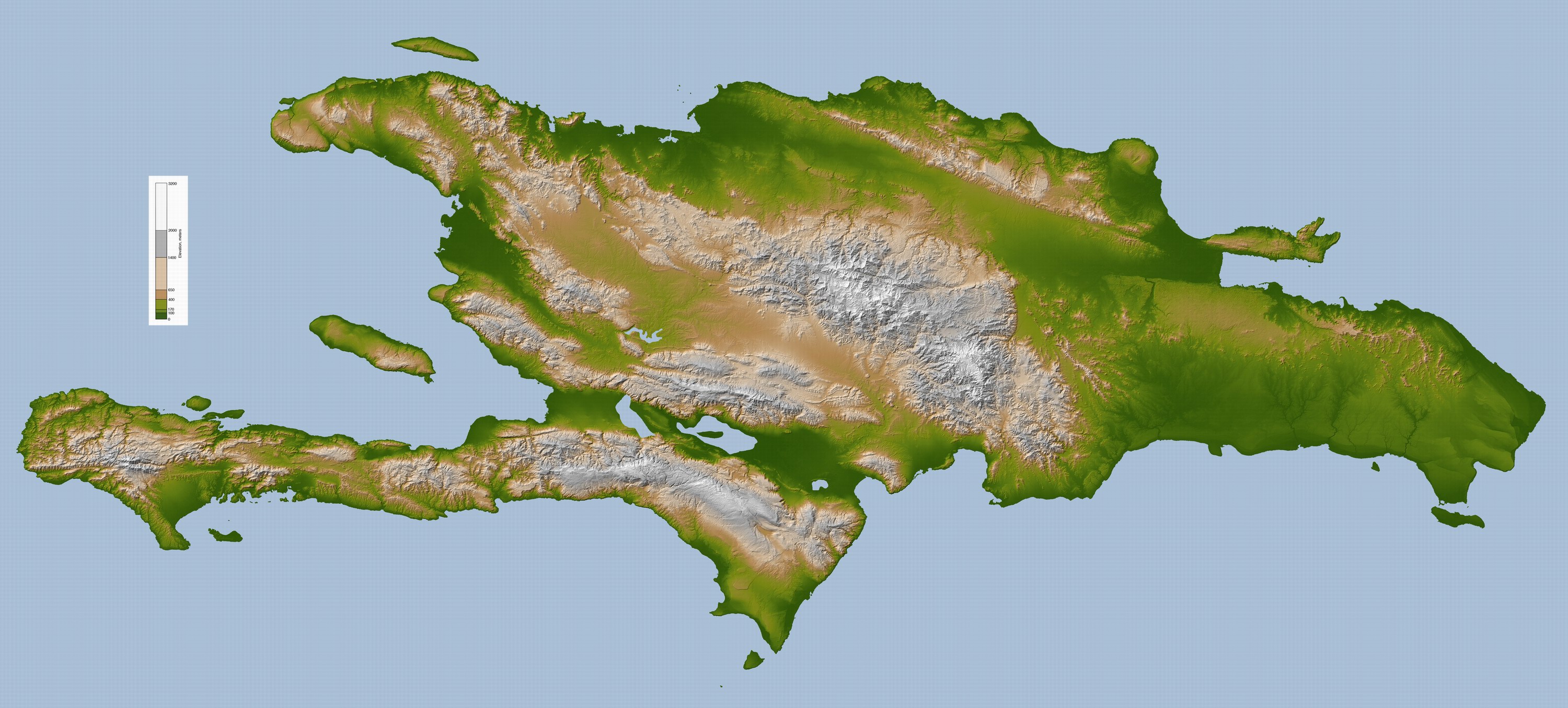
Emily ahs slowed this evening and is moving very slowly to the west. it is expected to resume a motion to the west-northwest at about 10 mph soon. Emily may be a bit better organized than earlier. A large area os showers and thunderstorms have developed in association with the storm. Some of these are rotating over Haiti and the Dominican Republic. It now looks like widespread 5-10 inch accumulations are likely, with higher totals in the high mountains. There is a high liklihood of at least some flooding and mudslides
Emily ahs slowed this evening and is moving very slowly to the west. it is expected to resume a motion to the west-northwest at about 10 mph soon. Emily may be a bit better organized than earlier. A large area os showers and thunderstorms have developed in association with the storm. Some of these are rotating over Haiti and the Dominican Republic. It now looks like widespread 5-10 inch accumulations are likely, with higher totals in the high mountains. There is a high liklihood of at least some flooding and mudslides
Last edited by TexasF6 on Wed Aug 03, 2011 11:23 pm, edited 1 time in total.
0 likes
-
Bocadude85
- Category 5
- Posts: 2991
- Age: 39
- Joined: Mon Apr 18, 2005 2:20 pm
- Location: Honolulu,Hi
Re: ATL: EMILY - Models
Hmm sitting in the NW Bahamas at 102hrs. Thats a shift east. I bet we see the HWRF and GFDL shift east.
0 likes
-
Evil Jeremy

- S2K Supporter
- Posts: 5463
- Age: 32
- Joined: Mon Apr 10, 2006 2:10 pm
- Location: Los Angeles, CA
Emily is doing great tonight. I can't help but think, if recon finds that Emily is strengthening modestly, while strengthening isn't even forecasted for the next 12 hours, could a Hurricane watch and not a TS watch be possible for SFL? I know its unlikely, and I don't want to create empty hype, but if Emily strengthens before the Islands, anyone think it could be a possibility?
0 likes
Frances 04 / Jeanne 04 / Katrina 05 / Wilma 05 / Fay 08 / Debby 12 / Andrea 13 / Colin 16 / Hermine 16 / Matthew 16 / Irma 17

Re: ATL: EMILY - Tropical Storm - Discussion
brunota2003 wrote:Personal Forecast Disclaimer:
The posts in this forum are NOT official forecast and should not be used as such. They are just the opinion of the poster and may or may not be backed by sound meteorological data. They are NOT endorsed by any professional institution or storm2k.org. For official information, please refer to the NHC and NWS products.
Been watching Emily for a while now...I think Recon is going to find some interesting things when they visit again later this morning. I am on dial-up and cannot see any loops and what not, but if the centers have stacked, I could see a rapid 20 knot increase occurring if Emily has not gotten too close to land. DMAX is a nightmare, and would aid in that. My best guess on winds before landfall/disruption by Haiti/Cuba are from 55 to 65 knots...but I feel 60 to 65 knots more likely.
She's still extremely lopsided. Weak TS's rarely strengthen rapidly because they're just that--poorly organized.
0 likes
-
SunnyThoughts
- Category 5
- Posts: 2263
- Joined: Wed Jul 09, 2003 12:42 pm
- Location: Pensacola, Florida
 Entire system is sure spinning now.
-
UpTheCreek

- Category 1

- Posts: 397
- Age: 61
- Joined: Tue Aug 31, 2004 5:28 pm
- Location: Vassalboro, Maine
Re: Re:
stormreader wrote:Aric Dunn wrote:geez.. shears seems to have dropped off substantially ... that is a very large burst of convection... LLC still on very western side but with so much convection would not be surprised to see even more migration of the LLC into the convection..
this could bomb out tonight if the shear really is dropping off.. if this convection persists when recon gets out there we could have a 60mph ts ..
Looks like the whole mass of convection is beginning to rotate now.
http://www.ssd.noaa.gov/goes/flt/t2/flash-rb.html
Looks to be exploding in those last few frames.
0 likes
-
TwisterFanatic

- Category 5
- Posts: 1041
- Joined: Mon Jun 28, 2010 12:43 pm
- Location: Sallisaw, Oklahoma
Yeah, you can really start to see the spin on Emily. Getting healthier , and healthier as we type. Not good for Haiti and DR.
0 likes
Personal Forecast Disclaimer:
The posts in this forum are NOT official forecast and should not be used as such. They are just the opinion of the poster and may or may not be backed by sound meteorological data. They are NOT endorsed by any professional institution or storm2k.org. For official information, please refer to the NHC and NWS products.
The posts in this forum are NOT official forecast and should not be used as such. They are just the opinion of the poster and may or may not be backed by sound meteorological data. They are NOT endorsed by any professional institution or storm2k.org. For official information, please refer to the NHC and NWS products.
-
Evil Jeremy
- S2K Supporter
- Posts: 5463
- Age: 32
- Joined: Mon Apr 10, 2006 2:10 pm
- Location: Los Angeles, CA
Re: ATL: EMILY - Models
SouthFloridawx wrote:If you want, here is a link to the 850mb vorticity...
http://tinyurl.com/3dy3fsm
You can track it better here. It's not an open wave...
What part of that is Emily? I'm tracking the vorticity entering the FL straits from Cuba as what's left of Emily. Is Emily the strong vorticity in the Central Bahamas?
Look at this and watch the open wave lines that come from the opened Emily:
http://www.nco.ncep.noaa.gov/pmb/nwprod ... loop.shtml
0 likes
Frances 04 / Jeanne 04 / Katrina 05 / Wilma 05 / Fay 08 / Debby 12 / Andrea 13 / Colin 16 / Hermine 16 / Matthew 16 / Irma 17
Who is online
Users browsing this forum: No registered users and 58 guests