
Looks like an A bomb going off.
Moderator: S2k Moderators


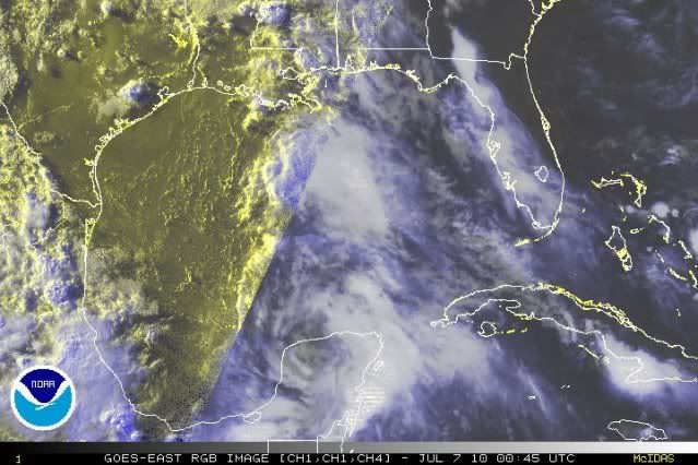
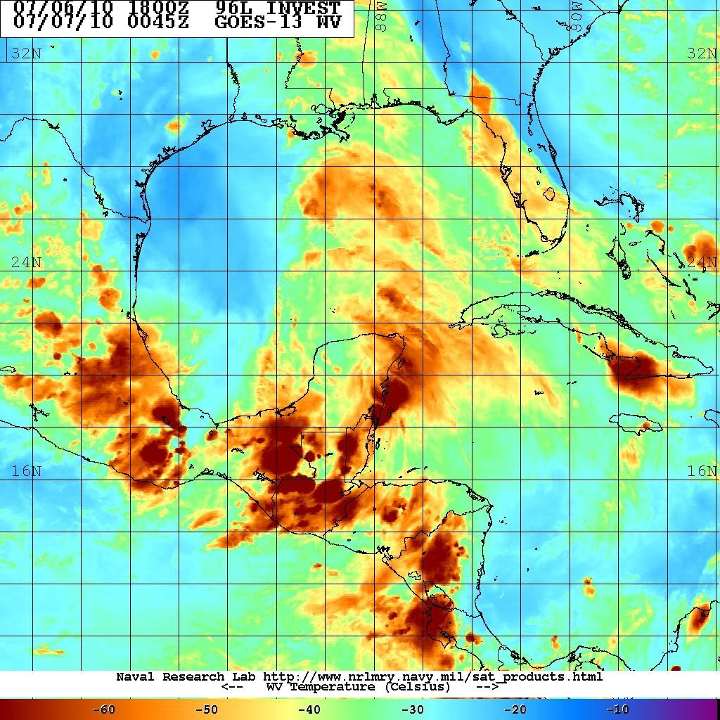
Frank P wrote:Well it looks pretty crappy to me on the IR loop... convection losing it fast close to where the center should be... systems pulse, on the decline now and maybe it will re-fire later tonight.. but I have not been impressed with this system for the past two days... but ya never know and that's why we watch em...
HURAKAN wrote:Frank P wrote:Well it looks pretty crappy to me on the IR loop... convection losing it fast close to where the center should be... systems pulse, on the decline now and maybe it will re-fire later tonight.. but I have not been impressed with this system for the past two days... but ya never know and that's why we watch em...
We should look for an increase in convection over or near the center as the low moves over water. Remember that the system is over land.
HURAKAN wrote:
a broad LLC may be present according to the wind direction


ConvergenceZone wrote:It does look a little bit, I understand then upping the chances to 40% now.
Here's a question, while I know that this sytem won't develop into anything big if it does develop, I'm curious, have there ever been any hurricanes that have developed from a wave without ANY model support at all? I suppose only a Met will probably know this, but I'm curious....
ConvergenceZone wrote:It does look a little bit better, I understand them upping the chances to 40% now.
Here's a question, while I know that this sytem won't develop into anything big if it does develop, I'm curious, have there ever been any hurricanes that have developed from a wave without ANY model support at all? I suppose only a Met will probably know this, but I'm curious....
wxman57 wrote:Convection weakening and becoming less organized. Surface obs don't show any LLC forming. Don't mistake land/sea breezes for a broad circulation. That feature to the north closer to the LA coast appears to be robbing energy from 96L. Development chances still appear low.
Users browsing this forum: No registered users and 55 guests


