ATL: Remnants of PAULA - Discussion
Moderator: S2k Moderators

Re: ATL : INVEST 98L - Discussion
What sort of conditions are those two islands (Isla de San Andres and Isla de Providencia) near the center of circulation reporting? When I zoomed in using Google Earth, both of them were seen to have airports. So, they must surely have some sort of weather recording instruments.
0 likes

-
HURAKAN

- Professional-Met

- Posts: 46084
- Age: 39
- Joined: Thu May 20, 2004 4:34 pm
- Location: Key West, FL
- Contact:
Re: ATL : INVEST 98L - Discussion
abajan wrote:What sort of conditions are those two islands (Isla de San Andres and Isla de Providencia) near the center of circulation reporting? When I zoomed in using Google Earth, both of them were seen to have airports. So, they must surely have some sort of weather recording instruments.
North winds and a pressure of 1009 mb according to wunderground
0 likes

-
expat2carib

- S2K Supporter

- Posts: 458
- Joined: Tue Jul 22, 2008 1:44 pm
- Location: Sint Maarten
-
hurricaneCW
- Category 5

- Posts: 1799
- Joined: Wed Mar 03, 2010 6:20 am
- Location: Toms River, NJ
Re: ATL : INVEST 98L - Discussion
I say no higher than 50% for 8pm. The warming cloud tops are give away that this is not a rapidly organizing system although the structure looks pretty good and is getting better. Perhaps the DMAX will be able to get it up to code red by tomorrow and maybe a TD by Monday.
0 likes


-
Florida1118
Re: ATL : INVEST 98L - Discussion
hurricaneCW wrote:I say no higher than 50% for 8pm. The warming cloud tops are give away that this is not a rapidly organizing system although the structure looks pretty good and is getting better. Perhaps the DMAX will be able to get it up to code red by tomorrow and maybe a TD by Monday.
And the close proximity to land...but again by 48hrs. , we will be at Monday 8pm...I say 60%
0 likes
great look on this looped image of the convection bursting right over the center...
http://www.tropicalatlantic.com/satelli ... 11&lon=-82
http://www.tropicalatlantic.com/satelli ... 11&lon=-82
0 likes

I have very litle doubt this goes Code Red very soon, no reason why it shouldn't, clearly got a circulation and the banding is very obvious already on the western side. Convection is a little slim in places but its a developing depression so thats not really the be all and end all. If this isn't 70-80% I'd be rather surprised.
0 likes
Personal Forecast Disclaimer:
The posts in this forum are NOT official forecast and should not be used as such. They are just the opinion of the poster and may or may not be backed by sound meteorological data. They are NOT endorsed by any professional institution or storm2k.org. For official information, please refer to the NHC and NWS products
The posts in this forum are NOT official forecast and should not be used as such. They are just the opinion of the poster and may or may not be backed by sound meteorological data. They are NOT endorsed by any professional institution or storm2k.org. For official information, please refer to the NHC and NWS products
-
jlauderdal
- S2K Supporter
- Posts: 7240
- Joined: Wed May 19, 2004 5:46 am
- Location: NE Fort Lauderdale
- Contact:
Re: ATL : INVEST 98L - Discussion
hurricaneCW wrote:I say no higher than 50% for 8pm. The warming cloud tops are give away that this is not a rapidly organizing system although the structure looks pretty good and is getting better. Perhaps the DMAX will be able to get it up to code red by tomorrow and maybe a TD by Monday.
60%
0 likes
-
SouthDadeFish

- Professional-Met
- Posts: 2836
- Joined: Thu Sep 23, 2010 2:54 pm
- Location: Miami, FL
- Contact:
Very nice burst going on right over the center. I'm quite surprised how nice this is starting to look. If this burst continues to expand look for code red at 8pm.
http://rammb.cira.colostate.edu/ramsdis/online/loop_640.asp?product=tropical_ge_4km_ir4_floater_2
http://rammb.cira.colostate.edu/ramsdis/online/loop_640.asp?product=tropical_ge_4km_ir4_floater_2
0 likes
-
jlauderdal
- S2K Supporter
- Posts: 7240
- Joined: Wed May 19, 2004 5:46 am
- Location: NE Fort Lauderdale
- Contact:
Re: ATL : INVEST 98L - Discussion
Florida1118 wrote:Just another 30min or so...
the ballots have been cast and the accounting firm of stewart, avila and pasch are verifying the results...this could be the last hurrah for 2010 folks so enjoy the suspense
0 likes
-
cycloneye

- Admin

- Posts: 149721
- Age: 69
- Joined: Thu Oct 10, 2002 10:54 am
- Location: San Juan, Puerto Rico
Re: ATL : INVEST 98L - Discussion
At 2245z

0 likes
Visit the Caribbean-Central America Weather Thread where you can find at first post web cams,radars
and observations from Caribbean basin members Click Here
and observations from Caribbean basin members Click Here
Impressive exlposion of convection over the center....
http://rammb.cira.colostate.edu/ramsdis ... _floater_2
http://rammb.cira.colostate.edu/ramsdis ... _floater_2
0 likes
-
SouthDadeFish
- Professional-Met
- Posts: 2836
- Joined: Thu Sep 23, 2010 2:54 pm
- Location: Miami, FL
- Contact:

Re: ATL : INVEST 98L - Discussion
The burst is inside the ADT bulls-eye topping about 55K ft.
Watching rain-rate. If it goes off scale, it'll be a hot-tower.
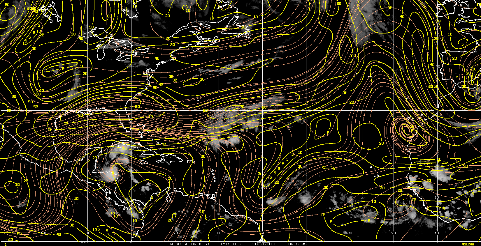
Given the anti-cyclone is getting close and raising the tropopause, I am thinking this could happen.
If so, it could ramp up quickly in 12 to 18 hrs.
All depends on rain-rate.
Cell south of Jamaica will also help to anchor the anti-cyclone to closer to the convection due to rapid latent heating.


Watching rain-rate. If it goes off scale, it'll be a hot-tower.
Given the anti-cyclone is getting close and raising the tropopause, I am thinking this could happen.
If so, it could ramp up quickly in 12 to 18 hrs.
All depends on rain-rate.
Cell south of Jamaica will also help to anchor the anti-cyclone to closer to the convection due to rapid latent heating.
0 likes
Who is online
Users browsing this forum: No registered users and 55 guests