
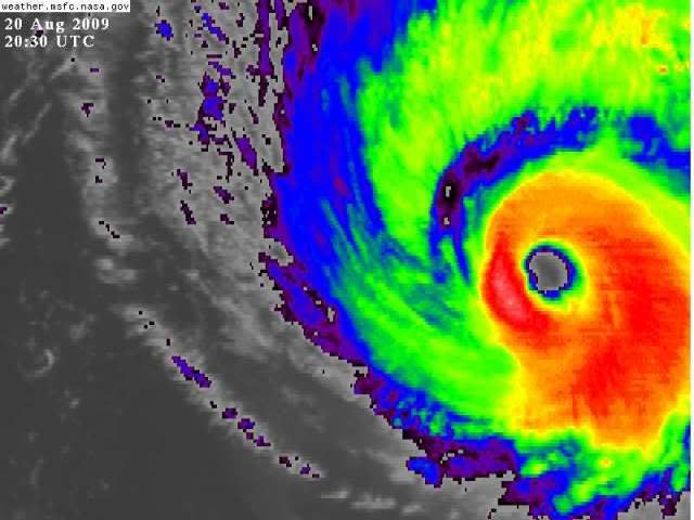
fact789 wrote:IN FACT...GOES SATELLITE SUPER-RAPID SCAN SHOWS THE
STRUCTURE OF THE EYEWALL AND SEVERAL MESOVORTICES INSIDE THE
EYE...TYPICAL OF STRONG HURRICANES.
Does anyone have a picture of the above? And, I've got the link for RSO, but I've never heard of S-RSO before.
i believe i once saw isabel near her peak have 5 cool mesovortices inside which formed a near perfect Pentogram for a while.....looked amazing


