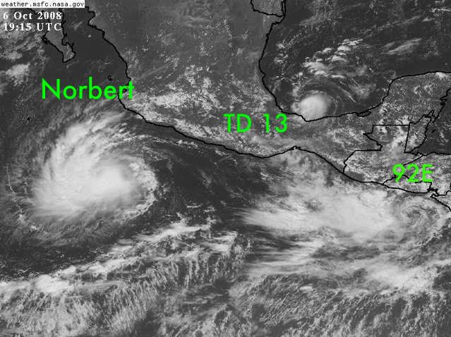
CrazyC83 wrote:I think this is rapidly deepening?
With something this little it doesn't take a whole lot, I personally can easily see this getting to 50kts.
Moderator: S2k Moderators


CrazyC83 wrote:I think this is rapidly deepening?

Category 5 wrote:CrazyC83 wrote:I think this is rapidly deepening?
With something this little it doesn't take a whole lot, I personally can easily see this getting to 50kts.

marcus B wrote:Looks like the same size as Jerry that hit Houston in 1989.


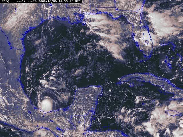
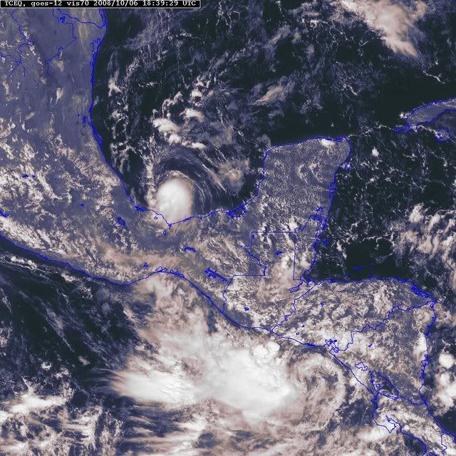
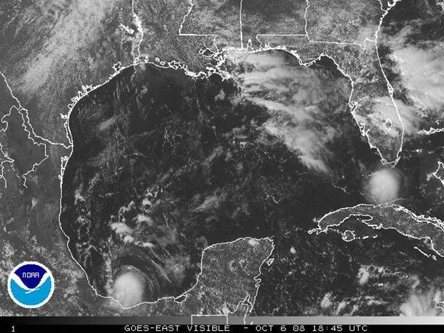
I agree. It is a very small system.Category 5 wrote:I think TD 13 is the smallest system I've ever seen in the Atlantic basin, or maybe even any basin for that matter.


Users browsing this forum: No registered users and 7 guests