
txwatcher91 wrote:Derek Ortt wrote:that storm is already in the decline
a quick collapse of a large area of convection, as we saw this afternoon, is often marks the death of tropical cyclones. That type of collapse usually brings about strong downdrafts, which leads to strong surface divergence, causing the low to open into a wave. That may very well have happened here
Not trying to disagree as you may be right, but the real-time satellite IR shows the convection expanding over the storm, right over the supposed MLC, which could cause an LLC to form if it continues to expand and deepen.
No, it's not expanding, it's spreading out because it's dying.
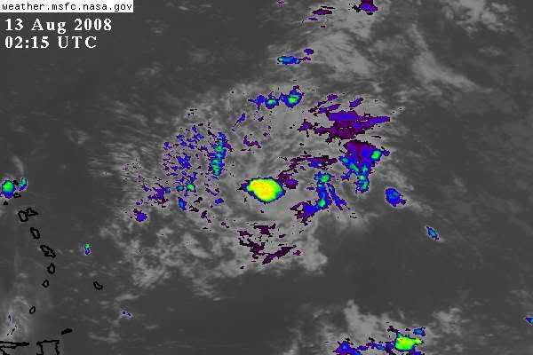
http://www.ssd.noaa.gov/goes/flt/t1/loop-jsl.html
That's the most recent loop, even ahead of the 'real time' page.
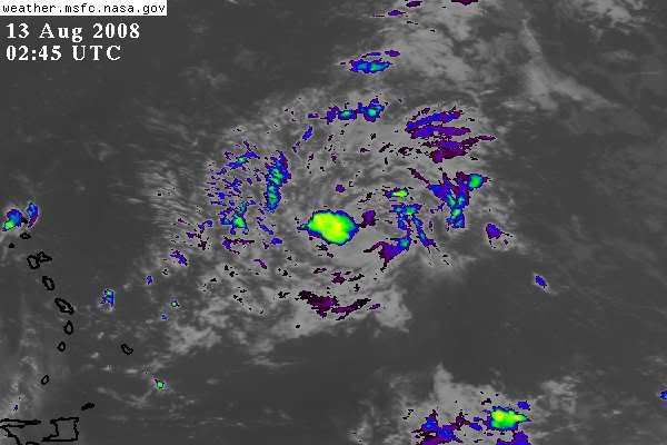
Here's the latest pic.

The red is rapidly fading.


 but at the same time the structure appearance of the system looks so good to my untrained eye. I think this could go either way and right now I'm on the fence with it. If it continues to pop convection around the MLC I think it could still be a player. On the other hand if it dies down and we are looking at a naked swirl tomorrow then I would think that Bones will be warming up to deliver that fateful message to Captain Kirk...I think it definitely has a pulse right now but it is gasping for air...The waiting continues...


