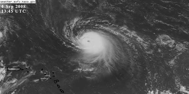
Blown_away wrote:
It seems Accuweather post's graphics like this to get attention. IMO, they are losing credibility with the cones flip flopping all over the place. It's entertaining for me but you would think they would be a little more subtle, like the NHC when they change their tracks. At least the TWC posts a cone that is usually different than the NHC and sticks with it until the consensus is certain. Geesh
I think TWC is NHC's path, with different formatting.
The middle part of that path might be close, but the Northern end seems to imply a near Westward movement towards the Carolinas, well, seems wrong to this amateur. I am 80% sure this recurves before the Gulf, and the only question for Florida is does it start to recurve too late to miss Florida. If it hits the Carolinas, it will be coming up from generally the South, and the arrow on that implies a Westward heading towards the Carolinas.
If this does get into the Gulf, that 20% uncertainty, I'd say 75% that it crossed Florida on its way to a second mid 90s Erin styel landfall in the Panhandle.
So, in my completely unofficial opinion, there is only about a 5% chance this passes South of mainland Florida.
I think the main target is North Carolina, with a possible second hit into NY/New England, but I wouldn't dare speculate on whether it is a near miss or a direct hit. And this could go 'Donna'; Florida to Carolinas to NY/New England. Or it could be a scare that never makes a US landfall.
BTW, 3 days ago I said a hit between Lake Charles and A'p'cola, centered near MOB, and that was completely wrong, so my skill has been a little lacking. Just another reason to listen to the pro mets, NHC and local mets, before taking what I say too seriously