Invest 94L,Near Windwards-Discussions
Moderator: S2k Moderators
Re: Invest 94L East of Windwards-Discussions-Analysis & Imagery
Yes,we are not in 2005 when each disturb developped.... For those devastated by Dean ,this season is yet to remember..
We got also the fantastic luck to watch in live every cloud over the world!!!When i was young,i remember that the only satellite photos we got was the time i can go to the local weather center,and it was one time each week....... So,i enjoy the present time,folks,really....Let the nature act.
We got also the fantastic luck to watch in live every cloud over the world!!!When i was young,i remember that the only satellite photos we got was the time i can go to the local weather center,and it was one time each week....... So,i enjoy the present time,folks,really....Let the nature act.
0 likes
-
miamicanes177
- Category 5

- Posts: 1131
- Joined: Tue Aug 01, 2006 10:53 pm
Re: Invest 94L East of Windwards-Discussions-Analysis & Imagery
While people flip flop on their forecast for 94L, the experts at the NHC remain steady state. Environmental conditions are indeed expected to become more favorable for development in the coming days. All eyes must continue to closely monitor the progress of 94L.
0 likes
- vbhoutex
- Storm2k Executive

- Posts: 29146
- Age: 74
- Joined: Wed Oct 09, 2002 11:31 pm
- Location: Cypress, TX
- Contact:
Re: Invest 94L East of Windwards-Discussions-Analysis & Imagery
HUC wrote:Yes,we are not in 2005 when each disturb developped.... For those devastated by Dean ,this season is yet to remember..
We got also the fantastic luck to watch in live every cloud over the world!!!When i was young,i remember that the only satellite photos we got was the time i can go to the local weather center,and it was one time each week....... So,i enjoy the present time,folks,really....Let the nature act.
To the younger ones on this site-Try to imagine going through a Tropical Cyclone such as Katrina or Rita without the technology we have today. That is what we did with every TC as I was growing up. We got an occasional satellite photo shown on the TV if it was available, and there was no radar shown during the weather. We relied on our weather knowledge and watching the sky, watching the nature around us(animals reacting), and news reports which pretty much were verbatim NHC reports. That is how it was with Camille. However this is not about 94L so I return you to your regularly scheduled program.
I fear I will have to split out a thread for this now.
0 likes
Re: 94L-Discussions-Analysis--5:30 PM TWO Posted on page 19
HURAKAN wrote:Brent wrote:They've had the exact same wording for 2 days now.
Copy and paste. Do they have copyright regulations in the NHC!!!!
No, there is no copyright. However, the source does have to be given. In the above post, it was cited as being from NHC.
Anyway, continue with the discussion at hand.
0 likes
Re: Invest 94L East of Windwards-Discussions-Analysis & Imagery
yes,vbhoutex,it was the old time,when the advisories was given by the town-crier.........So we go back to the present time! It was a moment of "nostalgie"....
0 likes
Re: Invest 94L East of Windwards-Discussions-Analysis & Imagery
According to the Navy site, the "center" is near 11N - 48.3W. I looked for it in the last IR frame (about 7:25 p.m.). Hope I'm not too wrong 


0 likes
- lrak
- S2K Supporter

- Posts: 1770
- Age: 59
- Joined: Thu Jun 21, 2007 2:48 pm
- Location: Corpus Christi, TX
Re: Invest 94L East of Windwards-Discussions-Analysis & Imagery
Watch that thing pop up nice and red tonight.
0 likes
- HurricaneMaster_PR
- Category 2

- Posts: 795
- Joined: Tue Jul 22, 2003 6:23 pm
- Location: San Juan, Puerto Rico
Re: Invest 94L East of Windwards-Discussions-Analysis & Imagery
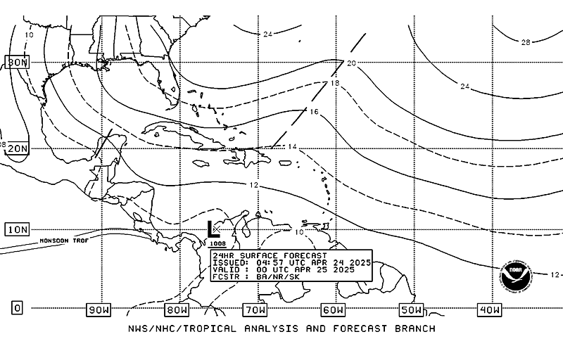
TAFB=Possible Tropical Cyclone within the next 24 hours...


0 likes
- Typhoon_Willie
- Category 5

- Posts: 1042
- Joined: Mon Jun 09, 2003 3:19 pm
- Location: Greenacres City, Florida
If you think those times were tough try living in the times before there were satellite pictures where reports came in from ships at sea that happened to run into these storms or the hurricane hunters who found them. Think 1928 or 1935! When those storms hit with very little warning! Now those times were tough!
0 likes
- Blown Away
- S2K Supporter

- Posts: 10253
- Joined: Wed May 26, 2004 6:17 am
Re: Invest 94L East of Windwards-Discussions-Analysis & Imagery
Vigilant wrote:According to the Navy site, the "center" is near 11N - 48.3W. I looked for it in the last IR frame (about 7:25 p.m.). Hope I'm not too wrong
11N/48.3W is right under that convection ball.
0 likes
- HurricaneMaster_PR
- Category 2

- Posts: 795
- Joined: Tue Jul 22, 2003 6:23 pm
- Location: San Juan, Puerto Rico
Re: Invest 94L East of Windwards-Discussions-Analysis & Imagery
NHC 8:05pm Discussion
TROPICAL WAVE IS ALONG 46W S OF 18W IS MOVING W 10-15 KT WITH A
1010 MB LOW ON THE WAVE AXIS NEAR 11N46W. ALTHOUGH VOID OF
DEEP CONVECTION...THIS SYSTEM IS EXHIBITING SOME CYCLONIC
TURNING IN THE LOW AND MID CLOUD FIELD AS OBSERVED ON SATELLITE
IMAGERY. IN ADDITION...THIS WAVE HAS A GOOD TRACK RECORD EVER
SINCE IT MOVED OFF THE COAST OF AFRICA SEVERAL DAYS AGO. IN
ADDITION...THE CIMSS 850 MB WAVETRACKER CLEARLY REVEALS THE
WAVE SIGNATURE IN THE SAME AREA AS DEPICTED BY SATELLITE
IMAGERY. ONLY ISOLATED SHOWERS AND TSTMS ARE WITHIN 300 NM EITHER
SIDE OF THE WAVE FROM 7N-13N.
0 likes
Re: Invest 94L East of Windwards-Discussions-Analysis & Imagery
vbhoutex wrote:HUC wrote:Yes,we are not in 2005 when each disturb developped.... For those devastated by Dean ,this season is yet to remember..
We got also the fantastic luck to watch in live every cloud over the world!!!When i was young,i remember that the only satellite photos we got was the time i can go to the local weather center,and it was one time each week....... So,i enjoy the present time,folks,really....Let the nature act.
To the younger ones on this site-Try to imagine going through a Tropical Cyclone such as Katrina or Rita without the technology we have today. That is what we did with every TC as I was growing up. We got an occasional satellite photo shown on the TV if it was available, and there was no radar shown during the weather. We relied on our weather knowledge and watching the sky, watching the nature around us(animals reacting), and news reports which pretty much were verbatim NHC reports. That is how it was with Camille. However this is not about 94L so I return you to your regularly scheduled program.
I fear I will have to split out a thread for this now.
Yeah, I remember Nash Roberts in New Orleans using his markers to draw Betsy's track and Camille's track - all by hand and with little or no supporting technology.
0 likes
29/2345 UTC 10.4N 47.8W T1.0/1.0 94L -- Atlantic Ocean
http://www.ssd.noaa.gov/PS/TROP/positions.html
http://www.ssd.noaa.gov/PS/TROP/positions.html
0 likes
Re: Invest 94L East of Windwards-Discussions-Analysis & Imagery
Models appear to be trending north - if this thing does really develop we could have an IVAN like path.


0 likes
- Emmett_Brown
- Category 5

- Posts: 1433
- Joined: Wed Aug 24, 2005 9:10 pm
- Location: Sarasota FL
I dont think the track for this one will be as straight forward as the models indicate. A fly in the ointment could be 95L. 95L looks like it will be hanging around for a while, just meandering off the SE coast. If 95L fights off the shear and dry air long enough to deepen a bit, it could cause a weakness that influences steering for 94L.
0 likes
Re: Invest 94L East of Windwards-Discussions-Analysis & Imagery
It bears watching and wouldn't surprise me if 94L becomes tropical soon. We are heading into the peak of hurricane season. It could either become Felix or Gabriele.
0 likes
- wzrgirl1
- S2K Supporter

- Posts: 1360
- Joined: Sat Sep 04, 2004 6:44 am
- Location: Pembroke Pines, Florida
Re: Invest 94L East of Windwards-Discussions-Analysis & Imagery
yep persistent little sucker.....will it be a boy or a girl....hmmm...i think we will know by late in the weekend
0 likes
-
jaxfladude
- Category 5

- Posts: 1249
- Joined: Wed Aug 24, 2005 9:36 pm
- Location: Jacksonville, Fla
Re:
Emmett_Brown wrote:I dont think the track for this one will be as straight forward as the models indicate. A fly in the ointment could be 95L. 95L looks like it will be hanging around for a while, just meandering off the SE coast. If 95L fights off the shear and dry air long enough to deepen a bit, it could cause a weakness that influences steering for 94L.
Great Scott!!!
0 likes
Who is online
Users browsing this forum: No registered users and 16 guests


