Hurricane NOEL : Discussions & Images
Moderator: S2k Moderators
- DESTRUCTION5
- Category 5

- Posts: 4430
- Age: 44
- Joined: Wed Sep 03, 2003 11:25 am
- Location: Stuart, FL
- Evil Jeremy
- S2K Supporter

- Posts: 5463
- Age: 32
- Joined: Mon Apr 10, 2006 2:10 pm
- Location: Los Angeles, CA
Re:
DESTRUCTION5 wrote:http://www.ssd.noaa.gov/goes/flt/t1/loop-vis.html
If you click on the NHC plots you can see center is well east(east of Andros) of where it is supposed to be..Bye-Bye Noel...
Actually, it is currently very hard to find the center, as it is under all of the convection, so that statment is not completly true. Of note, extreme SEFL is still in the 30% of TS Winds on the NHC graphic.
0 likes
Re: Tropical Storm NOEL : Discussions & Images
Time for us here in South Florida to wave good bye to Noel, as it passes to our east (it will likely be remembered in this area for beach erosion than anything else)...
However, damage reports are still coming in from the Dominican Republic and Haiti, which did receive tremendous amounts of rainfall from this system.
P.S. Have a good weekend, everyone...
However, damage reports are still coming in from the Dominican Republic and Haiti, which did receive tremendous amounts of rainfall from this system.
P.S. Have a good weekend, everyone...
0 likes
Re: Tropical Storm NOEL : Discussions & Images
are there any models out there that leave noel in the general vicinity off florida long enough i.e friday for the high pressure to build down again and give us another headache
it appears between 5 am and 8 am it pretty much moved due east about 25 or so miles, correct?
it appears between 5 am and 8 am it pretty much moved due east about 25 or so miles, correct?
Last edited by cpdaman on Thu Nov 01, 2007 8:28 am, edited 1 time in total.
0 likes
Re: Tropical Storm NOEL : Discussions & Images
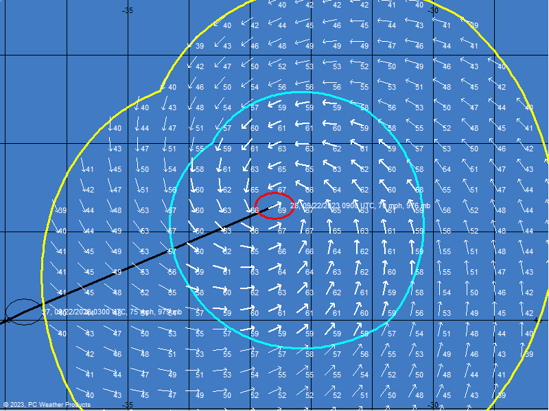
8:00am Position - Map Courtesy Boat USA. Very little northward movement.


0 likes
- HURAKAN
- Professional-Met

- Posts: 46084
- Age: 39
- Joined: Thu May 20, 2004 4:34 pm
- Location: Key West, FL
- Contact:
059
NOUS42 KNHC 011245
WEATHER RECONNAISSANCE FLIGHTS
CARCAH, NATIONAL HURRICANE CENTER, MIAMI, FL.
0845 AM EDT THU 01 NOVEMBER 2007
SUBJECT: TROPICAL CYCLONE PLAN OF THE DAY (TCPOD)
VALID 02/1100Z TO 03/1100Z NOVEMBER 2007
TCPOD NUMBER.....07-157
I. ATLANTIC REQUIREMENTS
1. TROPICAL STORM NOEL
FLIGHT ONE - TEAL 70
A. 02/1200,1800Z
B. AFXXX 1316A NOEL
C. 02/0800Z
D. 28.5N 74.8W
E. 02/1100 TO 02/1800Z
F. SFC TO 10,000 FT
2. SUCCEEDING DAY OUTLOOK.....NEGATIVE.
II.PACIFIC REQUIREMENTS
1. NEGATIVE RECONNAISSANCE REQUIREMENTS.
2. OUTLOOK FOR SUCCEEDING DAY.....NEGATIVE.
NOTE: THE WINTER STORM REQUIREMENTS ARE DOUBLE NEGATIVE.
JWP
0 likes
Re: Tropical Storm NOEL : Discussions & Images
It looks like the LLC is trying to stack up with the MLC again. But everytime it looks it going to curve out, it gets disorganized and slows down and moves more westward. We just have to wait and see what happens today. I wouldn't be suprised if it still became a hurricane as well. Especially if it does get veritically stacked.
0 likes
Re:
Evil Jeremy wrote:NRL is saying that Noel has weakened to a 45KT storm with 1 995 MB pressure. Is this official?
I see 50kt with 993mb pressure now. 12z models also initialized at 50kts. That doesn't mean NHC won't change that at 11am though.
0 likes
- StormTracker
- S2K Supporter

- Posts: 2909
- Age: 59
- Joined: Thu Jun 29, 2006 6:06 am
- Location: Quail Heights(Redlands), FL.
I remember when Ernesto came through, I only got rain while I was putting up my shutters! After that nada & that was pretty much a direct hit, well you know what i mean! So, with Noel and other players in the picture being where they are now, I doubt very seriously if we see any wind or rain! That wall is blocking everything out! Maan, the Dolphins offensive line should take note!!! 


0 likes
Re: Tropical Storm NOEL : Discussions & Images
Are there any models out there that leave Noel in the general vicinity off Florida long enough i.e friday for the high pressure to build down again and give us another headache
No, I haven't heard of any - the southwesterlies ahead of the trough are more than enough to shunt it northeastward quickly...
So long, Noel...
0 likes
-
Derek Ortt
- cycloneye
- Admin

- Posts: 149291
- Age: 69
- Joined: Thu Oct 10, 2002 10:54 am
- Location: San Juan, Puerto Rico
Re: Tropical Storm NOEL Recon Obs
000
URNT12 KNHC 011355
VORTEX DATA MESSAGE AL162007
A. 01/1318Z
B. 24 deg 14 min N
077 deg 54 min W
C. 850 mb 1372 M
D. 45 KT
E. 288 deg 82 NM
F. 047 deg 53 KT
G. 291 deg 89 NM
H. 995 MB
I. 17 C/ 1513 M
J. 20 C/ 1522 M
K. 17 C/ NA
L. NA
M. NA
N. 1345 /8
O. 0.02 / 8 NM
P. AF302 1116A NOEL1 OB 08
MAX FL LVL WIND 53 KT NW QUAD 1246Z
MAX FL TEMP 21 C 243/13 NM FROM FL CENTER
0 likes
Re: Tropical Storm NOEL : Discussions & Images
another reform 60 miles to the east, anyone
23.5 77 don't have time to check recon obs or anything just a bit of turning in that area, and nhc 5 am disc. mentioning the possibility . anyone see this
23.5 77 don't have time to check recon obs or anything just a bit of turning in that area, and nhc 5 am disc. mentioning the possibility . anyone see this
0 likes
- DESTRUCTION5
- Category 5

- Posts: 4430
- Age: 44
- Joined: Wed Sep 03, 2003 11:25 am
- Location: Stuart, FL
Re: Tropical Storm NOEL : Discussions & Images
cpdaman wrote:another reform 60 miles to the east, anyone
23.5 77 don't have time to check recon obs or anything just a bit of turning in that area, and nhc 5 am disc. mentioning the possibility . anyone see this
Recon confirms 24-77...Way east Reform
0 likes
- cycloneye
- Admin

- Posts: 149291
- Age: 69
- Joined: Thu Oct 10, 2002 10:54 am
- Location: San Juan, Puerto Rico
Re: Tropical Storm NOEL : Discussions & Images
DESTRUCTION5 wrote:cpdaman wrote:another reform 60 miles to the east, anyone
23.5 77 don't have time to check recon obs or anything just a bit of turning in that area, and nhc 5 am disc. mentioning the possibility . anyone see this
Recon confirms 24-77...Way east Reform
Moving NNE to NE in that last VDM position.
0 likes
Who is online
Users browsing this forum: No registered users and 15 guests


