BoB: Very Severe Cyclonic Storm SIDR
Moderator: S2k Moderators
-
Category 5

- Category 5

- Posts: 10074
- Age: 36
- Joined: Sun Feb 11, 2007 10:00 pm
- Location: New Brunswick, NJ
- Contact:
Re: Bay of Bengal: Very Severe Cyclonic Storm SIDR 0709
I don't like this one bit, the projected track has it slamming right into what might be the most surge prone area in the world.
0 likes
-
Crostorm

- Category 5
- Posts: 2060
- Age: 51
- Joined: Mon Dec 25, 2006 3:51 pm
- Location: Croatia-Europe
- Contact:
Re: Bay of Bengal: Very Severe Cyclonic Storm SIDR 0709
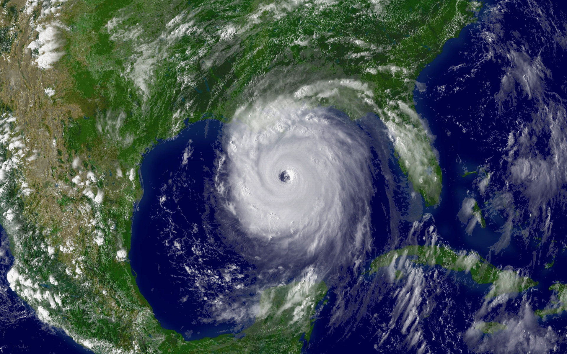
DHAKA, Nov 13 (Reuters) - Hundreds of ships and fishing boats headed back to port on Tuesday as a severe storm approached the Bangladeshi coast from the Bay of Bengal.
Meteorologists said the storm, packing winds of around 185 km (115 miles) per hour was some 1,100 km (685 miles) off Bangladesh's Chittagong port and could be heading for shore.
"The storm is likely to intensify further and move in a north or northwesterly direction to hit the Bangladesh coast in a couple of days," the Bangladesh Meteorological Department said in a bulletin on Tuesday.
Wind speeds could increase to 250 km (155 miles) per hour or more before the storm makes landfall, a meteorologist said. British storm tracking system Tropical Storm Risk described it as a Category 4 storm, the same strength as Hurricane Katrina which killed more than 1,700 people in the United States in 2005.
Thousands of coastguards, army, police and volunteers have been deployed along the Bangladeshi coast to move people to safety.
"We are ready to deploy some 40,000 volunteers in all the 11 coastal districts to evacuate people when the storm comes dangerously close to the shores," an administrative official said.
Nearly 10 million people live in vulnerable points along the coast, but there are storm shelters for only half a million people, a disaster management official said.
Bangladesh's ports took measures to protect merchant ships. Fishing vessels were instructed by radio to return to shore.
Storms batter the poor south Asian country every year, killing hundreds of people. A severe storm killed more than half a million people in 1970, while a 1991 storm killed 143,000 people and destroyed thousands of properties.
(Reporting by Nizam Ahmed, Writing by Anis Ahmed, Editing by Rosalind Russell)
© Reuters2007All rights reserved
0 likes
-
Category 5
- Category 5
- Posts: 10074
- Age: 36
- Joined: Sun Feb 11, 2007 10:00 pm
- Location: New Brunswick, NJ
- Contact:
Re: Re:
Coredesat wrote:Derek Ortt wrote:I wish the JMA handled this area
Given how the IMD has handled this storm and others this season I wish anyone else handled this area.
I agree, they were calling this an invest when it clearly had a closed eyewall, I mean come on.
0 likes
Re: Bay of Bengal: Very Severe Cyclonic Storm SIDR 0709
Outflow feathering - not a good sign.
If this bigger eye blows clear watch out.
If this bigger eye blows clear watch out.
0 likes


-
MiamiensisWx
Re: Bay of Bengal: Very Severe Cyclonic Storm SIDR 0709
Unfortunately, it looks like there will be a windfield expansion and larger RMW prior to landfall, so a weakening trend will not make any difference if this is the case. Previous weakening tropical cyclones have killed thousands in this region via storm surge. If the inner core expands, we could see some reorganization prior to landfall because of an UL jet streak (i.e. it weakens, followed by a steady state intensity to Bangladesh).
It even looks like Katrina (S of NOLA) and Wilma (FL landfall) per IR imagery and UA pattern. Trust me - if it weakens to a Category 1-equivalent TC per SSHS, it will still be very significant. Hopefully, the RMW and wind radii will be narrower than expected, thus reducing the potential damage and extent of surge. Additionally, it must weaken to a TD or TS per SSHS standards. Unfortunately, I don't believe that may be the case.
Edit: Can someone post a link to the GEO vapor image from NRL? It strongly reveals the UA pattern, jet streak, and outflow pattern with a stable air mass and stronger UL divergence to the NW of Sidr.
0 likes
-
Coredesat

-
HurricaneBill
- Category 5
- Posts: 3419
- Joined: Sun Apr 11, 2004 5:51 pm
- Location: East Longmeadow, MA, USA
Re: Bay of Bengal: Very Severe Cyclonic Storm SIDR 0709
MiamiensisWx wrote: If the inner core expands, we could see some reorganization prior to landfall because of an UL jet streak (i.e. it weakens, followed by a steady state intensity to Bangladesh).
Kind of like Isabel in 2003?
0 likes


-
Crostorm
- Category 5
- Posts: 2060
- Age: 51
- Joined: Mon Dec 25, 2006 3:51 pm
- Location: Croatia-Europe
- Contact:
Re: Bay of Bengal: Very Severe Cyclonic Storm SIDR 0709
UW - CIMSS
ADVANCED DVORAK TECHNIQUE
ADT-Version 7.2.1
Tropical Cyclone Intensity Algorithm
----- Current Analysis -----
Date : 14 NOV 2007 Time : 053000 UTC
Lat : 15:00:30 N Lon : 89:29:14 E
CI# /Pressure/ Vmax
6.5 / 914.0mb/127.0kt
6hr-Avg T# 3hr-Avg T# Adj T# Raw T#
6.2 6.2 6.4 6.4
Latitude bias adjustment to MSLP : +0.0mb
Estimated radius of max. wind based on IR :N/A km
Center Temp : -52.1C Cloud Region Temp : -78.9C
Scene Type : EYE
Positioning Method : FORECAST INTERPOLATION
Ocean Basin : INDIAN
Dvorak CI > MSLP Conversion Used : PACIFIC
Tno/CI Rules : Constraint Limits : NO LIMIT
Weakening Flag : ON
Rapid Dissipation Flag : OFF
****************************************************
0 likes
-
WindRunner

- Category 5
- Posts: 5803
- Age: 35
- Joined: Fri Jul 29, 2005 8:07 pm
- Location: Warrenton, VA, but Albany, NY for school
- Contact:


-
Crostorm
- Category 5
- Posts: 2060
- Age: 51
- Joined: Mon Dec 25, 2006 3:51 pm
- Location: Croatia-Europe
- Contact:
TROPICAL CYCLONE ADVISORY
RSMC-TROPICAL CYCLONES, NEW DELHI
TROPCAL STORM “SIDR” ADVISORY NO. SEVENTEEN ISSUED AT 0600 UTC OF 14 NOVEMBER, 2007. THE VERY SEVERE CYCLONIC STORM “SIDR” OVER EASTCENTRAL AND ADJOINING WESTCENTRAL AND SOUTHEAST BAY OF BENGAL REMAINED PRACTICALLY STATIONARY AND LAY CENTRED AT 0300 UTC OF TODAY, THE 14TH NOVEMBER 2007 NEAR LAT. 14.50 N AND LONG 89.50 E, ABOUT 920 KM SOUTH OF KOLKATA(42809). IT IS LIKELY TO INTENSIFY FURTHER AND MOVE IN A NORTHERLY DIRECTION AND CROSS WEST BENGAL-BANGLADESH COAST NEAR SAGAR ISLAND (42903) BY 16TH NOVEMBER 2007 MORNING.
ESTIMATED CENTRAL PRESSURE: 966hPa.
THE SATELLITE IMAGERIES SHOW SOLID INTENSE TO VERY INTENSE CONVECTIVE CLOUDS AROUND THE SYSTEM CENTRE. CURRENT INTENSITY: T5.0 RPT T5.0. MAXIMUM SUSTAINED SURFACE WIND SPEED IS 90-100 KTS AROUND THE STORM CENTRE.
SEA: PHENOMENAL.
FORECAST: THE STORM IS LIKELY TO MOVE IN A NORTHERLY DIRECTION AT ABOUT 08 KT.
INTENSITY T5.5 RPT T5.5 WITH WINDS OF 105 KTS GUSTING TO 125 KTS NEAR THE CENTRE OF THE STORM AT 0300 UTC OF 15TH NOVEMBER 2007.
0 likes

-
Crostorm
- Category 5
- Posts: 2060
- Age: 51
- Joined: Mon Dec 25, 2006 3:51 pm
- Location: Croatia-Europe
- Contact:
Re: Bay of Bengal: Very Severe Cyclonic Storm SIDR 0709
UW - CIMSS
ADVANCED DVORAK TECHNIQUE
ADT-Version 7.2.1
Tropical Cyclone Intensity Algorithm
----- Current Analysis -----
Date : 14 NOV 2007 Time : 083000 UTC
Lat : 15:16:31 N Lon : 89:28:35 E
CI# /Pressure/ Vmax
6.5 / 914.0mb/127.0kt
6hr-Avg T# 3hr-Avg T# Adj T# Raw T#
6.5 6.5 6.6 6.6
Latitude bias adjustment to MSLP : +0.0mb
Estimated radius of max. wind based on IR :N/A km
Center Temp : -55.4C Cloud Region Temp : -80.3C
Scene Type : EYE
Positioning Method : RING/SPIRAL COMBINATION
Ocean Basin : INDIAN
Dvorak CI > MSLP Conversion Used : PACIFIC
Tno/CI Rules : Constraint Limits : NO LIMIT
Weakening Flag : OFF
Rapid Dissipation Flag : OFF
****************************************************
0 likes

Who is online
Users browsing this forum: No registered users and 12 guests