
CrazyC83 wrote:Arlene was 70 mph and had no convection at all on its west side - same with Alberto...
There have been hurricanes that have looked like utter garbage in the GOM as well but they had the winds to support being a hurricane.
Moderator: S2k Moderators
CrazyC83 wrote:Arlene was 70 mph and had no convection at all on its west side - same with Alberto...

PhillyWX wrote:CrazyC83 wrote:Arlene was 70 mph and had no convection at all on its west side - same with Alberto...
There have been hurricanes that have looked like utter garbage in the GOM as well but they had the winds to support being a hurricane.
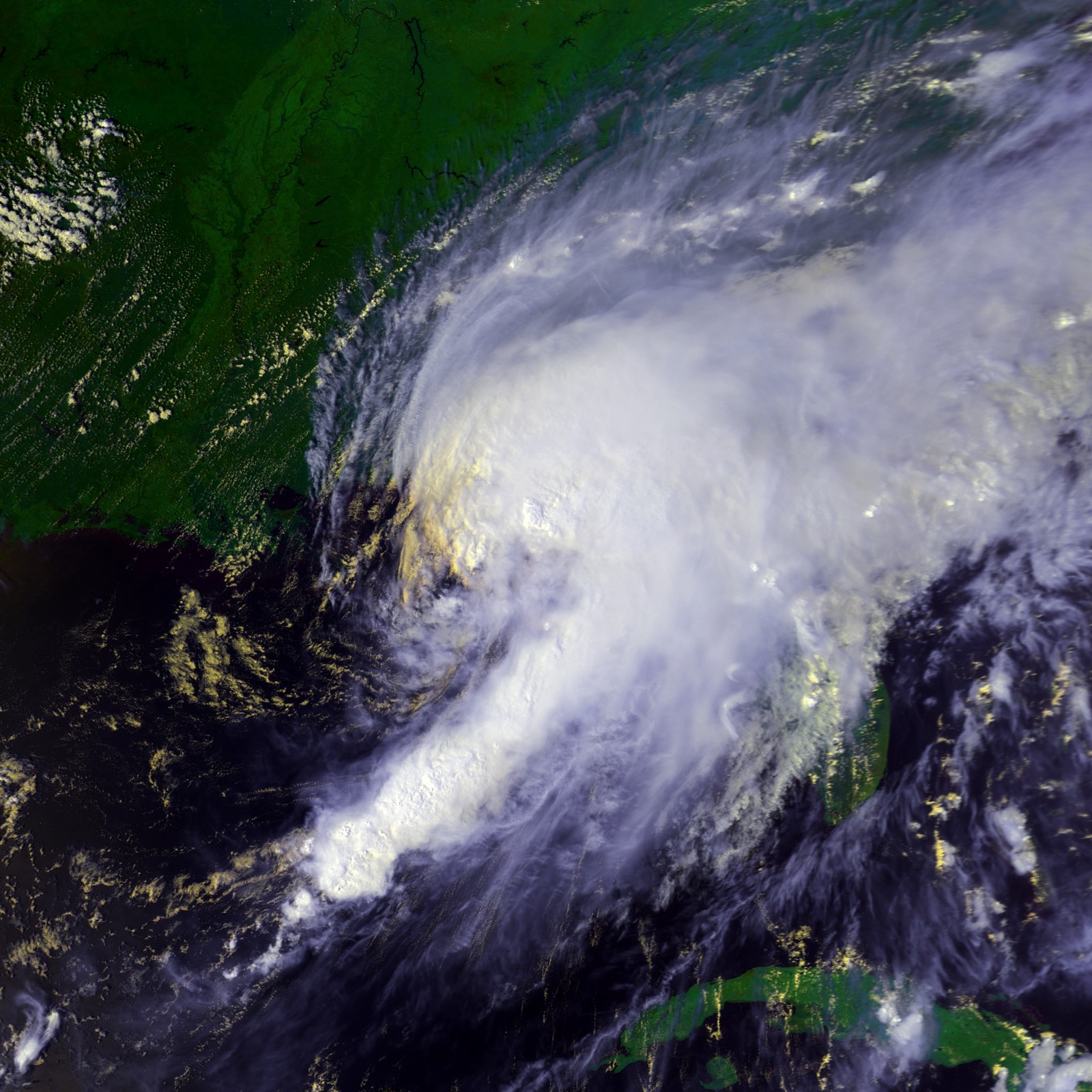


Brent wrote:cheezyWXguy wrote:I see this has significantly organized since this morning, with a shield of clouds over the west side, but you have to admit...this is the worst looking 50mph (possible) TS there has been so far in the last few years. This thing is almost as ugly as grace right now, but is organizing fairly fast now. Organization will likely catch up with its strength overnight and tomorrow. To say my opinion, I could see a hurricane tomorrow night and an even stronger one on sunday before landfall, based on the way it has been organizing. Remember yesterday at this time? It was virtually dieing out and now look at it
Oh I've seen several much worse looking storms just in the last 3 years.

cpdaman wrote:guys hello the closed low is an upper level feature it was forecast to close off for the last 2 days it is the reason for the big blob west of the llC IMO
brunota2003 wrote:Hmmm...still nothing from the NHC. They'll probably wait until 11 tonight.


cpdaman wrote:guys hello the closed low is an upper level feature it was forecast to close off for the last 2 days it is the reason for the big blob west of the llC IMO


OuterBanker wrote:Went to dinner and just looked at ir and it seems to me the convection is lessening. At the same time though it also seems what convection there is becomming more symettrical. Btw, I notice that some are mentioning 45 kt winds. I thought that recon found winds only in the 24 kt range, what gives?
OuterBanker wrote:Went to dinner and just looked at ir and it seems to me the convection is lessening. At the same time though it also seems what convection there is becomming more symettrical. Btw, I notice that some are mentioning 45 kt winds. I thought that recon found winds only in the 24 kt range, what gives?

Users browsing this forum: No registered users and 5 guests

