With the first known tropical cyclone in the south atlantic, the question is.
How will this affect the 2004 Hurricane Season for the North Atlantic? Is this a precursor of whats to come? Are we watching history in the making, and don't relize what the coming 2004 atlantic hurricane season is about to become?
Just a question to ponder!!! Evdently, the winds must be favorable, as well as water temps, air temps, ect. This just doesn't happen, and is this an indication of the coming season for us?
I'll post a reply soon!!
Here's a question to ponder!!!
Moderator: S2k Moderators
Forum rules

The posts in this forum are NOT official forecasts and should not be used as such. They are just the opinion of the poster and may or may not be backed by sound meteorological data. They are NOT endorsed by any professional institution or STORM2K. For official information, please refer to products from the National Hurricane Center and National Weather Service.
-
cycloneye

- Admin

- Posts: 148763
- Age: 69
- Joined: Thu Oct 10, 2002 10:54 am
- Location: San Juan, Puerto Rico
Interesting question that you ask Bob and we will know sooner rather than later what impact if any this development will have on the north atlantic hurricane season.
Last edited by cycloneye on Fri Mar 26, 2004 7:49 pm, edited 1 time in total.
0 likes
Visit the Caribbean-Central America Weather Thread where you can find at first post web cams,radars
and observations from Caribbean basin members Click Here
and observations from Caribbean basin members Click Here
-
Rainband
Re: Here's a question to ponder!!!
Seems like the question I asked On the show may come to fruitionBarometerBob wrote:With the first known tropical cyclone in the south atlantic, the question is.
How will this affect the 2004 Hurricane Season for the North Atlantic? Is this a precursor of whats to come? Are we watching history in the making, and don't relize what the coming 2004 atlantic hurricane season is about to become?
Just a question to ponder!!! Evdently, the winds must be favorable, as well as water temps, air temps, ect. This just doesn't happen, and is this an indication of the coming season for us?
I'll post a reply soon!!
0 likes
-
Guest
Very intresting question Bob which i have been thinking about as well today. Add this cane today with a very active ITCZ(For this time of year anyways) and it would IMO lead some to believe we are in for a whopper of a season in the Atlantic Basin. I will have more thought's on this as well later on!
Great question though and i cant wait to see everyone elses thoughts on this.
Great question though and i cant wait to see everyone elses thoughts on this.
0 likes
-
mf_dolphin

- Category 5

- Posts: 17758
- Age: 69
- Joined: Tue Oct 08, 2002 2:05 pm
- Location: St Petersburg, FL
- Contact:
-
Stormsfury

- Category 5
- Posts: 10549
- Age: 53
- Joined: Wed Feb 05, 2003 6:27 pm
- Location: Summerville, SC
Actually, the only other year that a South Atlantic TC developed (in our observed modern history) was back in 1991 ... and remember what that year was like ... aside from Hurricane Bob, it was a relatively inactive year ...
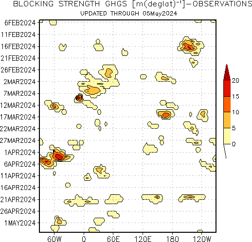
Kind of an explanation for what's going on right now is the global pattern around the world is becoming very blocked off ... look at the ECMWF, and GFS progs for the next week or so ... with MANY CUTOFF LOWS in the Northern Hemisphere ... and the South Atlantic Hurricane is no different, evolving from a cutoff low and making the transition to a warm-core hurricane ... what a bonus for us tropical weather enthusiasts to watch...
This thread has some 500mb progs from the GFS/ECMWF today ... and shows the cutoffs that are progged ...
Two straight years, The Atlantic makes history, tropical-wise...
Blocking Strength since the beginning of this year ...
[img]
http://www.cpc.ncep.noaa.gov/products/p ... nh_nrm.gif[/img]
SF
0 likes
-
Rainband
-
Hurricanehink

- S2K Supporter

- Posts: 2047
- Joined: Sun Nov 16, 2003 2:05 pm
- Location: New Jersey
-
Derek Ortt
-
Rainband
I agree, weather is Global. In Reality it's all connected in it's own way. Wether it means a more active season or not remains to be seen. It peaks my interest, thats for sureHurricanehink wrote:I think that if we do have an active year in the North, it will be own its own. I don't think this hurricane has anything to do with it, nor do I believe that a preseason storm in the north means more storms. Still, this is probably the new global pattern we are in (more storms).
0 likes
-
Rainband
Didn't this start as a cold core system?Derek Ortt wrote:I am actually wondering if this will mean an inactive season with the 2 S At cyclones. Remember, a TC's job is to transport heat from the tropics to the polar regions. With the 2 extra TC's, possibly some of the tropical heat has already been transported; thus, a less active N Atl season
0 likes
-
Rainband
-
mf_dolphin
- Category 5
- Posts: 17758
- Age: 69
- Joined: Tue Oct 08, 2002 2:05 pm
- Location: St Petersburg, FL
- Contact:
-
cycloneye
- Admin
- Posts: 148763
- Age: 69
- Joined: Thu Oct 10, 2002 10:54 am
- Location: San Juan, Puerto Rico
Right now down there it is like september being the southern hemisphere so the SST'S are warm 80*F +to support a TC.But in terms of this affecting what will happen in the north atlantic the jury is out.
0 likes
Visit the Caribbean-Central America Weather Thread where you can find at first post web cams,radars
and observations from Caribbean basin members Click Here
and observations from Caribbean basin members Click Here
-
Rainband
-
hurricanemike

- Professional-Met

- Posts: 197
- Joined: Wed Feb 25, 2004 11:33 pm
- Location: Jacksonville,FL Beaches/Duval County
- Contact:
Who is online
Users browsing this forum: Kingarabian and 85 guests