Tropical Wave west of the Cabo Verde Islands (Is Invest 90L)

This is the general tropical discussion area. Anyone can take their shot at predicting a storms path.

Moderator: S2k Moderators

Forum rules

The posts in this forum are NOT official forecasts and should not be used as such. They are just the opinion of the poster and may or may not be backed by sound meteorological data. They are NOT endorsed by any professional institution or STORM2K. For official information, please refer to products from the National Hurricane Center and National Weather Service.

Help Support Storm2K
Message
Author
AutoPenalti
Category 5
Category 5
Posts: 3950
Age: 27
Joined: Mon Aug 17, 2015 4:16 pm
Location: Ft. Lauderdale, Florida

Re: Tropical Wave west of the Cabo Verde Islands (26W)

#61 Postby AutoPenalti » Sun Aug 21, 2022 3:16 pm

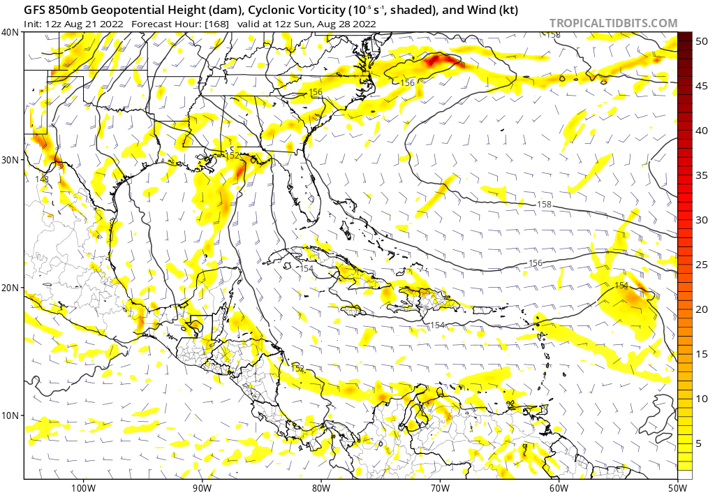
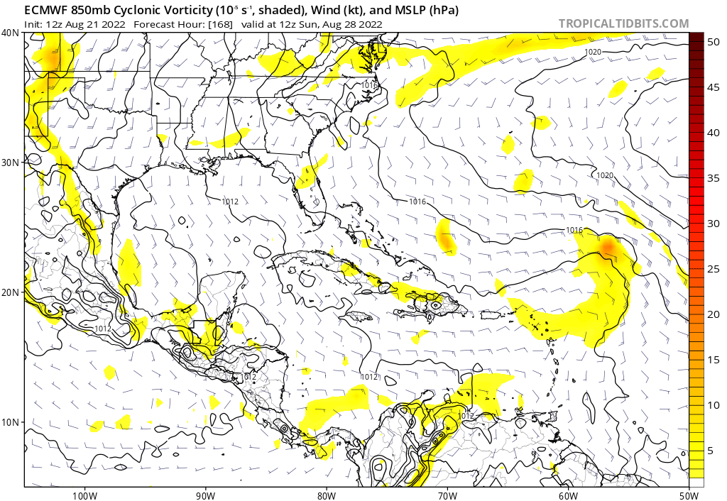
gatorcane wrote:The 12Z Euro and GFS have this as a weak low well NE of the Northern Lesser Antilles heading NW, Both models now recurve and develop this in the long-range once it is out of the MDR and in the subtropics with a possible threat to Bermuda.

https://i.postimg.cc/XvGgFG1V/5-AF1-E8-D8-B020-43-ED-8785-CA754559461-F.png
https://i.postimg.cc/Vk59Q08j/0-EE85179-00-B9-409-A-88-F3-638-FF48-ACBFD.png

Yup, looking forward to 45 degree fall like temps across SFL
0 likes   
The posts in this forum are NOT official forecasts and should not be used as such. They are just the opinion of the poster and may or may not be backed by sound meteorological data. They are NOT endorsed by any professional institution or STORM2K. For official information, please refer to products from the NHC and NWS.


Model Runs Cheat Sheet:
GFS (5:30 AM/PM, 11:30 AM/PM)
HWRF, GFDL, UKMET, NAVGEM (6:30-8:00 AM/PM, 12:30-2:00 AM/PM)
ECMWF (1:45 AM/PM)

TCVN
is a weighted averaged

LarryWx
Category 5
Category 5
Posts: 5793
Joined: Sun Sep 07, 2003 2:04 pm
Location: GA

Re: Tropical Wave west of the Cabo Verde Islands (26W)

#62 Postby LarryWx » Sun Aug 21, 2022 3:55 pm

The 12Z EPS is somewhat more active with this low fwiw.
0 likes   
Personal Forecast Disclaimer:
The posts in this forum are NOT official forecasts and should not be used as such. They are just the opinion of the poster and may or may not be backed by sound meteorological data. They are NOT endorsed by any professional institution or storm2k.org. For official information, please refer to the NHC and NWS products.

User avatar
Teban54
Category 5
Category 5
Posts: 1983
Joined: Sat May 19, 2018 1:19 pm

Re: Tropical Wave west of the Cabo Verde Islands (26W)

#63 Postby Teban54 » Sun Aug 21, 2022 6:09 pm

Looks like 18z GFS tries to spin this up in the subtropics, but it gets disrupted by the second wave/hurricane's outflow. Interestingly, the vorticity then goes due west towards Georgia.
0 likes   

User avatar
cycloneye
Admin
Admin
Posts: 139596
Age: 67
Joined: Thu Oct 10, 2002 10:54 am
Location: San Juan, Puerto Rico

Re: Tropical Wave west of the Cabo Verde Islands (26W)

#64 Postby cycloneye » Sun Aug 21, 2022 6:20 pm

Tropical Weather Outlook
NWS National Hurricane Center Miami FL
800 PM EDT Sun Aug 21 2022

For the North Atlantic...Caribbean Sea and the Gulf of Mexico:

1. Eastern Tropical Atlantic:
A tropical wave located just west of the Cabo Verde Islands
continues to produce disorganized showers and thunderstorms.
Environmental conditions could support some slow development of
this system while it moves westward to west-northwestward at around
15 mph across the tropical Atlantic during the next several days.
* Formation chance through 48 hours...low...near 0 percent.
* Formation chance through 5 days...low...20 percent.

Forecaster Cangialosi
0 likes   
Visit the Caribbean-Central America Weather Thread where you can find at first post web cams,radars
and observations from Caribbean basin members Click Here

LarryWx
Category 5
Category 5
Posts: 5793
Joined: Sun Sep 07, 2003 2:04 pm
Location: GA

Re: Tropical Wave west of the Cabo Verde Islands (26W)

#65 Postby LarryWx » Sun Aug 21, 2022 6:37 pm

SAL as of 21Z/5 PM EDT: image showing the SE edge of SAL a couple of hundred miles NW of this low, which is near 30W and 16N:

Image
1 likes   
Personal Forecast Disclaimer:
The posts in this forum are NOT official forecasts and should not be used as such. They are just the opinion of the poster and may or may not be backed by sound meteorological data. They are NOT endorsed by any professional institution or storm2k.org. For official information, please refer to the NHC and NWS products.

User avatar
cycloneye
Admin
Admin
Posts: 139596
Age: 67
Joined: Thu Oct 10, 2002 10:54 am
Location: San Juan, Puerto Rico

Re: Tropical Wave west of the Cabo Verde Islands (27W)

#66 Postby cycloneye » Sun Aug 21, 2022 6:51 pm

8 PM TWD:

A tropical wave extends along 27W from 09N-22N, moving west at
15 kt. A 1011 mb low pressure is analyzed along the wave axis
near 15N. Scattered moderate convection is noted from 14N-17N
between 26W and 30W. The most recent altimeter data indicate seas
of 6-8 ft on the E side of the wave axis. Environmental conditions
could support some slow development of this system while it
moves westward to west-northwestward at 10-15 kt across the
eastern and central tropical Atlantic for the next several days.
Currently, this system has a low chance of tropical cyclone
development through 5 days.
0 likes   
Visit the Caribbean-Central America Weather Thread where you can find at first post web cams,radars
and observations from Caribbean basin members Click Here

User avatar
HurricaneBelle
S2K Supporter
S2K Supporter
Posts: 980
Joined: Sun Aug 27, 2006 6:12 pm
Location: Clearwater, FL

Re: Tropical Wave west of the Cabo Verde Islands (26W)

#67 Postby HurricaneBelle » Sun Aug 21, 2022 7:44 pm

LarryWx wrote:SAL as of 21Z/5 PM EDT: image showing the SE edge of SAL a couple of hundred miles NW of this low, which is near 30W and 16N:


1977 may have been the Summer of Sam, but 2022 is the Summer of SAL
6 likes   

LarryWx
Category 5
Category 5
Posts: 5793
Joined: Sun Sep 07, 2003 2:04 pm
Location: GA

Re: Tropical Wave west of the Cabo Verde Islands (27W)

#68 Postby LarryWx » Sun Aug 21, 2022 9:37 pm

As mentioned, the 12Z EPS was more active with this than the 6Z/0Z. The 18Z EPS is even a bit more active with this in having 5 members (10%) with SLP 1000-1003 mb at hour 144. The 12Z run had only 3 that strong, the 6Z had only 2, and the 0Z had none.
1 likes   
Personal Forecast Disclaimer:
The posts in this forum are NOT official forecasts and should not be used as such. They are just the opinion of the poster and may or may not be backed by sound meteorological data. They are NOT endorsed by any professional institution or storm2k.org. For official information, please refer to the NHC and NWS products.

User avatar
Kingarabian
S2K Supporter
S2K Supporter
Posts: 15461
Joined: Sat Aug 08, 2009 3:06 am
Location: Honolulu, Hawaii

Re: Tropical Wave west of the Cabo Verde Islands (27W)

#69 Postby Kingarabian » Sun Aug 21, 2022 11:28 pm

00z GFS has this wave the most organized since the 18z run of 8/19. GFS Could show a SECONUS threat here. If the ridging returns.
0 likes   
RIP Kobe Bryant

User avatar
ElectricStorm
Category 5
Category 5
Posts: 4623
Age: 23
Joined: Tue Aug 13, 2019 11:23 pm
Location: Skiatook, OK / Norman, OK

Re: Tropical Wave west of the Cabo Verde Islands (27W)

#70 Postby ElectricStorm » Sun Aug 21, 2022 11:52 pm

0z GFS is trying to develop this a bit at hour 270. This wave is going to have to be watched even if it doesn't do much in the near term

EDIT: Becomes a hurricane in the very long range
0 likes   
I am in no way a professional. Take what I say with a grain of salt as I could be totally wrong. Please refer to the NHC, NWS, or SPC for official information.

Boomer Sooner!

User avatar
Teban54
Category 5
Category 5
Posts: 1983
Joined: Sat May 19, 2018 1:19 pm

Re: Tropical Wave west of the Cabo Verde Islands (27W)

#71 Postby Teban54 » Mon Aug 22, 2022 12:05 am

ElectricStorm wrote:0z GFS is trying to develop this a bit at hour 270. This wave is going to have to be watched even if it doesn't do much in the near term

EDIT: Becomes a hurricane in the very long range

A nice OTS hurricane in the subtropics would definitely be worth the wait... If it happens lol.

Seems like the first wave may encounter favorable conditions in the western parts of the basin if it's not too close to the second wave. 0z GFS being so slow with the second wave today is probably what changed the outcome.
1 likes   

USTropics
Category 5
Category 5
Posts: 2422
Joined: Sun Aug 12, 2007 3:45 am
Location: Florida State University

Re: Tropical Wave west of the Cabo Verde Islands (27W)

#72 Postby USTropics » Mon Aug 22, 2022 3:03 am

00z ECMWF develops this just north of PR now:
Image

Steering pattern/track aside, both ECMWF/GFS showing favorable conditions as the wave approaches the western basin:
Image
1 likes   

LarryWx
Category 5
Category 5
Posts: 5793
Joined: Sun Sep 07, 2003 2:04 pm
Location: GA

Re: Tropical Wave west of the Cabo Verde Islands (27W)

#73 Postby LarryWx » Mon Aug 22, 2022 3:47 am

At DMAX, one can clearly see on this (06Z on 8/22/22) a pickup in convection centered on the westward moving weak surface low centered near 16N, 30W, as it stays away from the back edge of the SAL, which is just to its NW and N also moving westward:

Image

Next is a view of that SAL for the same timeframe. Note the new convection with the weak low that is on the edge of the SAL:

Image
0 likes   
Personal Forecast Disclaimer:
The posts in this forum are NOT official forecasts and should not be used as such. They are just the opinion of the poster and may or may not be backed by sound meteorological data. They are NOT endorsed by any professional institution or storm2k.org. For official information, please refer to the NHC and NWS products.

User avatar
cycloneye
Admin
Admin
Posts: 139596
Age: 67
Joined: Thu Oct 10, 2002 10:54 am
Location: San Juan, Puerto Rico

Re: Tropical Wave west of the Cabo Verde Islands (30W)

#74 Postby cycloneye » Mon Aug 22, 2022 5:03 am

This is the most convective it has been helped by DMAX. They may raise the % at 8 AM.

Image
3 likes   
Visit the Caribbean-Central America Weather Thread where you can find at first post web cams,radars
and observations from Caribbean basin members Click Here

User avatar
Nimbus
Category 5
Category 5
Posts: 4933
Joined: Mon Jul 19, 2004 10:54 am

Re: Tropical Wave west of the Cabo Verde Islands (29W)

#75 Postby Nimbus » Mon Aug 22, 2022 5:23 am

I think the trough axis may be further west than the convection at -30 but this clearly demonstrates that the ITCZ is making its annual migration north. Persistent TUTT north of the islands is there again now but could roll northwest or lift out by the time this wave arrives.
0 likes   

User avatar
cycloneye
Admin
Admin
Posts: 139596
Age: 67
Joined: Thu Oct 10, 2002 10:54 am
Location: San Juan, Puerto Rico

Re: Tropical Wave west of the Cabo Verde Islands (29W)

#76 Postby cycloneye » Mon Aug 22, 2022 5:26 am

From 12:05 UTC TWD.

A far eastern Atlantic tropical wave has its axis along 29W from
08N to 22N moving westward at 15 kt. A 1011 mb low pressure is
analyzed along the wave axis near 16N. Recently developed
scattered moderate to isolated strong convection is within 90
nm of the low in the NE quadrant. Scattered moderate convection
is within 180 nm of the low in the SW quadrant, and within 120 nm
of the low in the NW quadrant. Isolated showers and thunderstorms
are seen within 240 nm E of the wave from 11N-14N. Environmental
conditions could support some slow development of this system
while it moves W-WNW at 10-15 kt across the eastern and central
tropical Atlantic for the next several days. Currently, this
system has a low chance of tropical cyclone development through 5
days.
0 likes   
Visit the Caribbean-Central America Weather Thread where you can find at first post web cams,radars
and observations from Caribbean basin members Click Here

LarryWx
Category 5
Category 5
Posts: 5793
Joined: Sun Sep 07, 2003 2:04 pm
Location: GA

Re: Tropical Wave west of the Cabo Verde Islands (30W)

#77 Postby LarryWx » Mon Aug 22, 2022 5:38 am

cycloneye wrote:This is the most convective it has been helped by DMAX. They may raise the % at 8 AM.

https://i.imgur.com/6qkwW2E.gif


The lighter broken cloudcover to the NW of the low's convection is likely stratocumulus associated with the drier SAL. The SAL is located above the stratocumulus. This will be an interesting test case to see how the more moist air/convection associated with the low interacts with the drier air and dust of the SAL not too far to its NW and N.
0 likes   
Personal Forecast Disclaimer:
The posts in this forum are NOT official forecasts and should not be used as such. They are just the opinion of the poster and may or may not be backed by sound meteorological data. They are NOT endorsed by any professional institution or storm2k.org. For official information, please refer to the NHC and NWS products.

User avatar
cycloneye
Admin
Admin
Posts: 139596
Age: 67
Joined: Thu Oct 10, 2002 10:54 am
Location: San Juan, Puerto Rico

Re: Tropical Wave west of the Cabo Verde Islands (29W)

#78 Postby cycloneye » Mon Aug 22, 2022 6:40 am

No change.

Tropical Weather Outlook
NWS National Hurricane Center Miami FL
800 AM EDT Mon Aug 22 2022

For the North Atlantic...Caribbean Sea and the Gulf of Mexico:

1. Eastern Tropical Atlantic:
A tropical wave located a few hundred miles west of the Cabo Verde
Islands continues to produce disorganized showers and thunderstorms.
Environmental conditions could support some slow development of this
system while it moves westward to west-northwestward at around 10 to
15 mph across the tropical Atlantic during the next several days.
* Formation chance through 48 hours...low...near 0 percent.
* Formation chance through 5 days...low...20 percent.

Forecaster Latto
0 likes   
Visit the Caribbean-Central America Weather Thread where you can find at first post web cams,radars
and observations from Caribbean basin members Click Here

User avatar
cycloneye
Admin
Admin
Posts: 139596
Age: 67
Joined: Thu Oct 10, 2002 10:54 am
Location: San Juan, Puerto Rico

Re: Tropical Wave west of the Cabo Verde Islands (29W) (Is Invest 90L)

#79 Postby cycloneye » Mon Aug 22, 2022 8:53 am

1 likes   
Visit the Caribbean-Central America Weather Thread where you can find at first post web cams,radars
and observations from Caribbean basin members Click Here


Return to “Talkin' Tropics”

Who is online

Users browsing this forum: cajungal, FLCrackerGirl, Google [Bot], HurakaYoshi, idaknowman, jgh, kenayers, KirbyDude25, saila, skyline385, Tx_Summer, Wampadawg, wwizard and 105 guests