


SFLcane wrote:blp wrote:SFLcane wrote:Lol nearly impossible feat to keep a ridge holding for that long now a days. Shields up!
Of course a ridge can hold that long. Remember IKE in 08 that ridge drove IKE in same area west then SW through Cuba all the way to Texas. It's about the orientation and timing. If the ridge does not shift SW this thing would go through Florida and deep into the Gulf.
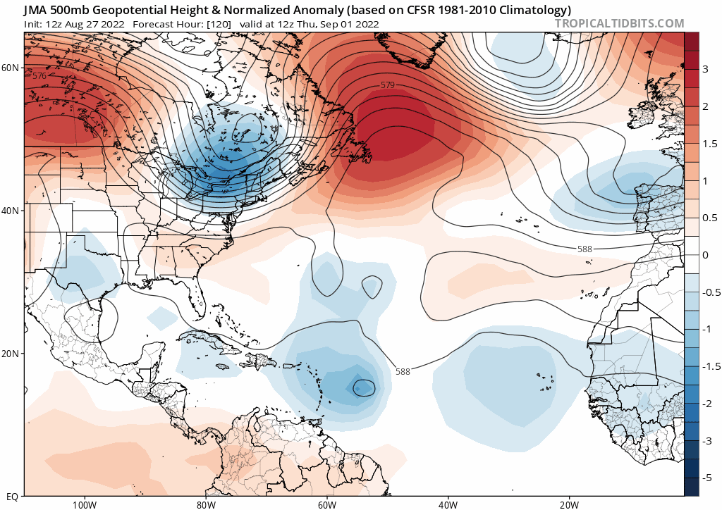
You know the drill this far out is it's a crap shoot. I will tell you one thing there ain't a strong trough anywhere on any of the models so the margins are small for this to easily flip next run.
I here ya! Just the usual these days it’s almost like climate change has changed something around Florida not allowing these storms to make landfall. Just one theory. Nearly 2 weeks out so lots can and will change.
Disagree 100% and I would disagree more if there was a real value larger than 100%. The longest stretch since 1850 with no hurricane strike of any strength on the FL East coast was 1850-1871. A century plus BEFORE the climate change debate.
1871 was a Martin County Cat 3 landfall. There wasn’t a landfall in South Florida until a Cat 3 into Miami / Dade in 1888. That’s THIRTY EIGHT YEARS from 185O. That streak may be much longer going back pre 1850.
You seriously need to check the facts before dragging out the modern day easy crutch of climate change.


