LarryWx wrote:
How's the SAL there now?
I found the SAL. This pic shows that this wave/low is on the back edge of this particular SAL outbreak:

It is easier to see here:

Moderator: S2k Moderators

LarryWx wrote:
How's the SAL there now?
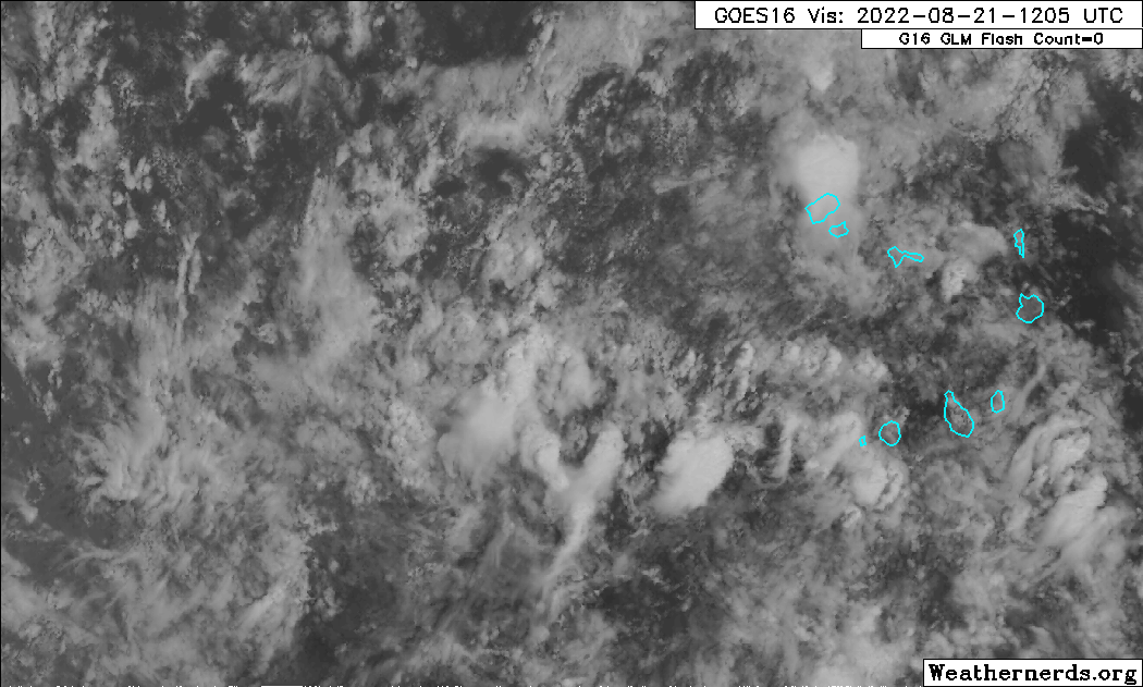
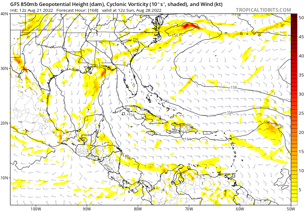
cycloneye wrote:Interesting that some barbs are showing different directions.
https://i.imgur.com/cYGJe9I.jpg


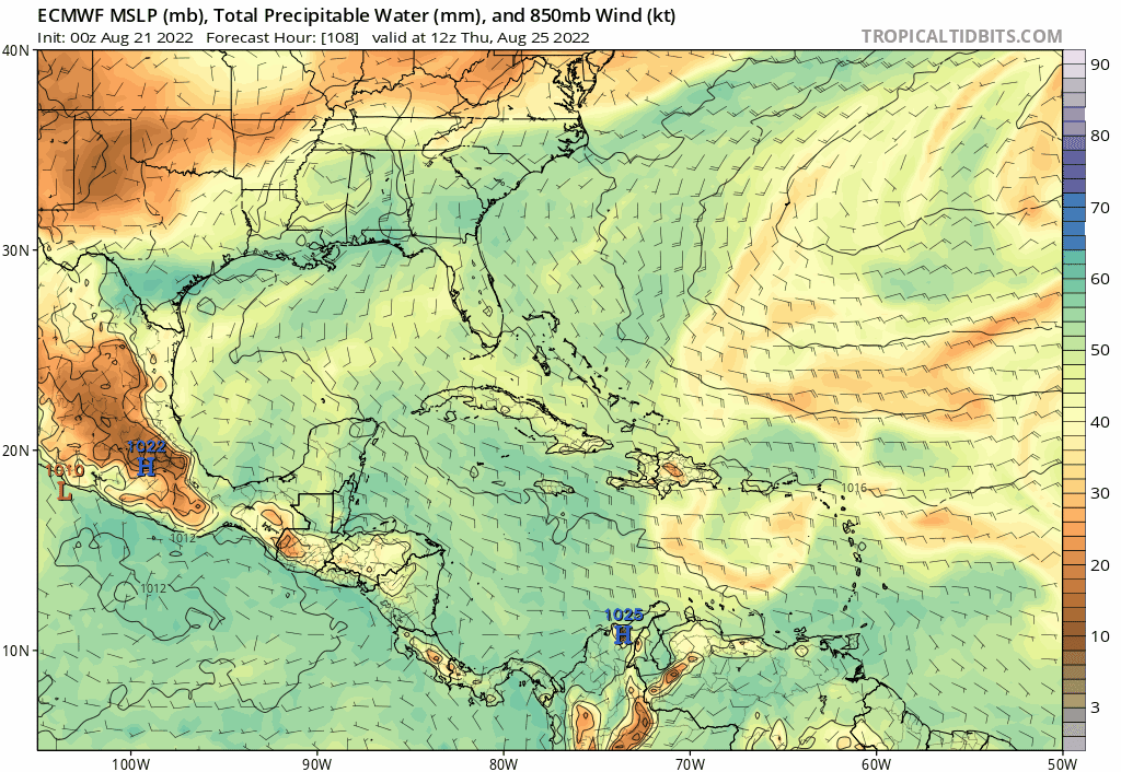
Blown Away wrote:[url]https://i.postimg.cc/d3thHkWJ/ecmwf-mslp-pwat-watl-fh108-240.gif [/url]
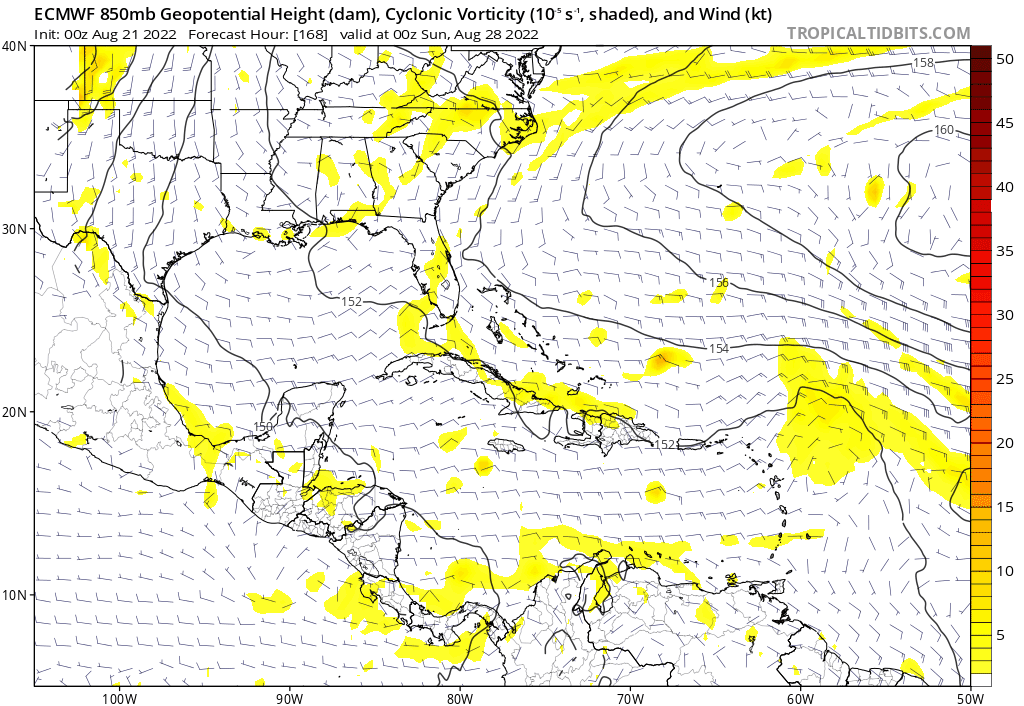
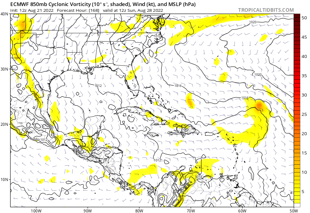
[url]https://i.postimg.cc/vZt2VD1G/ecmwf-z850-vort-watl-fh168-240.gif [/url]
00z Euro… Likes this wave, look at the size of the moisture envelope as it nears Caribbean and towards SFL. Starts developing in SE Bahamas. The NHC has this area as a lemon for a reason. It’s only @5 days from NE Caribbean!
Kingarabian wrote:Well the 00z Euro towards the end of its run, started to organize this wave while having it moving due west towards Florida.
Its a long way out, but the synoptic pattern as showed by the models poses a SECONUS risk or Greater Antilles risk, especially if waves take more time to develop.


Teban54 wrote:cycloneye wrote:Interesting that some barbs are showing different directions.
https://i.imgur.com/cYGJe9I.jpg
Imagine if this closes off faster than PTC4


DorkyMcDorkface wrote:Curious as to why NHC still has this labeled, let alone at 0/20. Model support has fallen off a cliff over the past few suites. At the very least I would have lowered odds to like 0/10 and reduced the formation area. The next wave appears be more intriguing.


Users browsing this forum: JoshwaDone and 93 guests
