Western East Pacific:
A broad area of low pressure associated with a tropical wave is
producing a large area of disorganized showers and thunderstorms
well to the east-southeast of the Hawaiian Islands. Conditions
appear conducive for development of this system, and a tropical
depression is likely to form during the next few days while moving
toward the west or west-northwest at about 10 mph across the far
western portion of the basin, crossing into the Central Pacific
basin on Sunday.
* Formation chance through 48 hours...medium...40 percent.
* Formation chance through 7 days...high...70 percent.
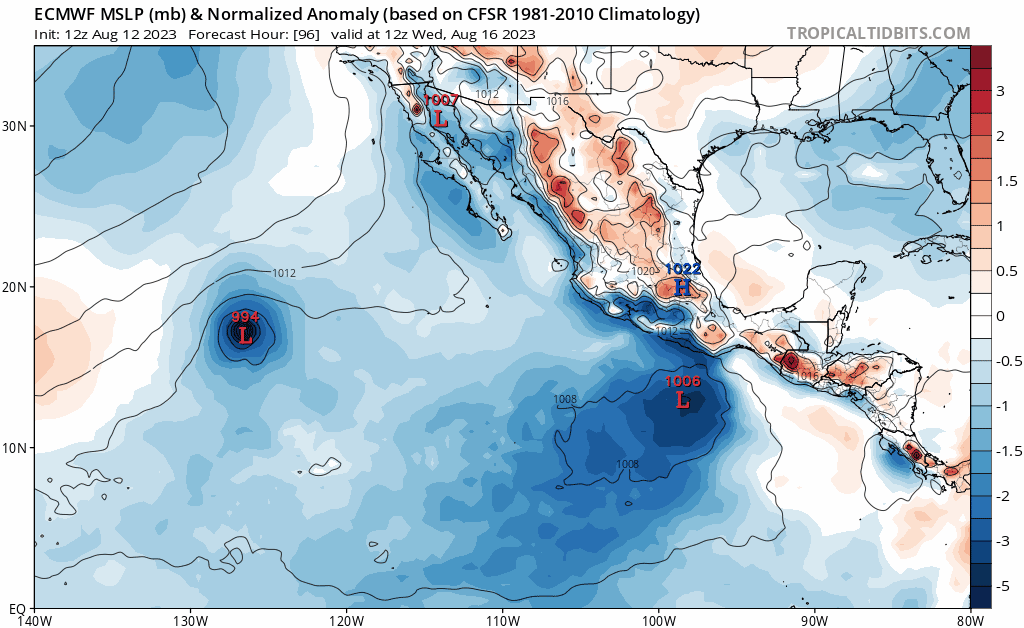
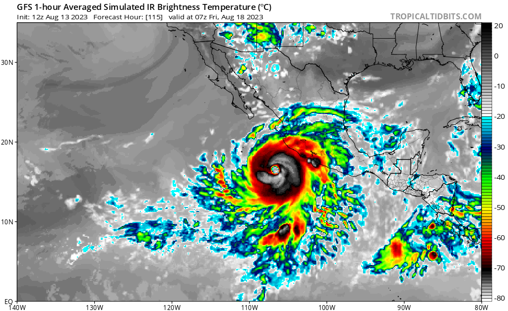
Off the Coast of Southern Mexico:
An area of low pressure is forecast to form offshore of Central
America and the southern coast of Mexico in a couple of days.
Environmental conditions are expected to be conducive for
development of this system, and a tropical depression is likely to
form during the early or middle part of next week while it moves
generally west-northwestward, roughly parallel to the coast of
southern and southwestern Mexico.
* Formation chance through 48 hours...low...near 0 percent.
* Formation chance through 7 days...high...70 percent.


