


DorkyMcDorkface wrote:OURAGAN wrote:The SOI does not cooperate.
https://i.imgur.com/yVqUCnt.jpeg
[url]date%20Select%20to%20see%20full-size%20map%20of%2030-day%20Southern%20Oscillation%20Index%20values%20for%20the%20past%20two%20years,%20updated%20daily.[/url]
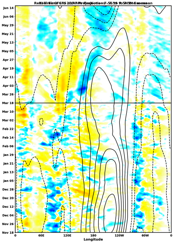
I already was aware of the noisiness of SOI rendering it unreliable in a lot of cases but Eric Webb really delves into it here:
https://x.com/webberweather/status/2032814068407382070
We'll probably see the index eventually dip into negative territory as the event fully commits to the flip to +ENSO but the direction we're headed is pretty evident without analyzing SOI. Still questions to be answered regarding the flavor and what not, but unless we experience a 2014-esque type of failure I cannot envision anything weaker than a moderate-strong Niño.
The SOI index is about to get a lot more unreliable for a while because of Tropical Cyclone Narelle heading in the general direction of Darwin

https://s13.gifyu.com/images/bmQI2.png


