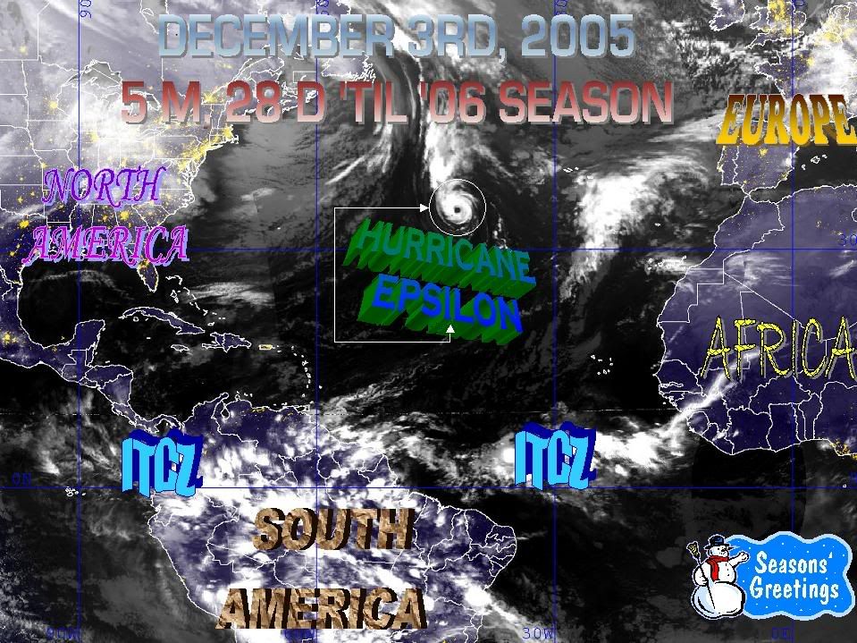
HURRICANE EPSILON (AL292005) ON 20051204 0000 UTC
...00 HRS... ...12 HRS... ...24 HRS... ...36 HRS...
051204 0000 051204 1200 051205 0000 051205 1200
LAT LON LAT LON LAT LON LAT LON
BAMD 34.3N 42.3W 34.7N 39.1W 35.5N 36.1W 36.3N 33.9W
BAMM 34.3N 42.3W 34.2N 39.9W 34.2N 37.3W 33.9N 35.4W
A98E 34.3N 42.3W 34.3N 39.7W 35.1N 37.0W 35.2N 34.8W
LBAR 34.3N 42.3W 34.8N 39.4W 35.1N 36.7W 35.1N 34.1W
SHIP 65KTS 59KTS 52KTS 44KTS
DSHP 65KTS 59KTS 52KTS 44KTS
...48 HRS... ...72 HRS... ...96 HRS... ..120 HRS...
051206 0000 051207 0000 051208 0000 051209 0000
LAT LON LAT LON LAT LON LAT LON
BAMD 36.6N 32.3W 33.6N 32.8W 30.2N 37.9W 24.1N 43.2W
BAMM 33.1N 34.3W 30.2N 36.9W 27.1N 43.5W 23.7N 50.0W
A98E 34.8N 33.4W 32.9N 31.9W 32.0N 32.9W 27.1N 35.8W
LBAR 34.4N 31.5W 33.3N 27.1W 30.9N 25.6W 29.3N 27.3W
SHIP 38KTS 23KTS 0KTS 0KTS
DSHP 38KTS 23KTS 0KTS 0KTS
...INITIAL CONDITIONS...
LATCUR = 34.3N LONCUR = 42.3W DIRCUR = 95DEG SPDCUR = 11KT
LATM12 = 34.5N LONM12 = 45.0W DIRM12 = 89DEG SPDM12 = 10KT
LATM24 = 34.3N LONM24 = 47.1W
WNDCUR = 65KT RMAXWD = 20NM WNDM12 = 65KT
CENPRS = 987MB OUTPRS = 1008MB OUTRAD = 250NM SDEPTH = D
RD34NE = 90NM RD34SE = 100NM RD34SW = 100NM RD34NW = 75NM
00:00z Models decrease the wind to 65kts.
Epsilon,Final Comments,Sat Pics
Moderator: S2k Moderators
Forum rules

The posts in this forum are NOT official forecasts and should not be used as such. They are just the opinion of the poster and may or may not be backed by sound meteorological data. They are NOT endorsed by any professional institution or STORM2K. For official information, please refer to products from the National Hurricane Center and National Weather Service.
-
cycloneye

- Admin

- Posts: 148831
- Age: 69
- Joined: Thu Oct 10, 2002 10:54 am
- Location: San Juan, Puerto Rico
0 likes
Visit the Caribbean-Central America Weather Thread where you can find at first post web cams,radars
and observations from Caribbean basin members Click Here
and observations from Caribbean basin members Click Here
-
WindRunner

- Category 5

- Posts: 5806
- Age: 35
- Joined: Fri Jul 29, 2005 8:07 pm
- Location: Warrenton, VA, but Albany, NY for school
- Contact:


-
Derek Ortt
-
cycloneye
- Admin
- Posts: 148831
- Age: 69
- Joined: Thu Oct 10, 2002 10:54 am
- Location: San Juan, Puerto Rico
Derek Ortt wrote:There does not seem to be ANY decrease in organization at all. Really not sure why the winds are being reduced
Derek maybe they are following the SSD sat estimate of 4.0/4.5.
0 likes
Visit the Caribbean-Central America Weather Thread where you can find at first post web cams,radars
and observations from Caribbean basin members Click Here
and observations from Caribbean basin members Click Here
-
JamesFromMaine2

- Category 4

- Posts: 989
- Joined: Tue Jul 19, 2005 1:38 am
- Location: Portland Maine USA
- Contact:

-
TheEuropean

- Professional-Met

- Posts: 1797
- Age: 60
- Joined: Tue Sep 20, 2005 3:17 pm
- Location: Voerde, Germany
- Contact:
-
JamesFromMaine2
- Category 4
- Posts: 989
- Joined: Tue Jul 19, 2005 1:38 am
- Location: Portland Maine USA
- Contact:
-
TheEuropean
- Professional-Met
- Posts: 1797
- Age: 60
- Joined: Tue Sep 20, 2005 3:17 pm
- Location: Voerde, Germany
- Contact:
-
HURAKAN

- Professional-Met
- Posts: 46086
- Age: 38
- Joined: Thu May 20, 2004 4:34 pm
- Location: Key West, FL
- Contact:
Derek Ortt wrote:There does not seem to be ANY decrease in organization at all. Really not sure why the winds are being reduced
They updated the older image, the top one. But it showed the system less organized on its SE side. It could have been temporary but the NHC is expecting weakening at any time.
0 likes
-
JamesFromMaine2
- Category 4
- Posts: 989
- Joined: Tue Jul 19, 2005 1:38 am
- Location: Portland Maine USA
- Contact:


-
JamesFromMaine2
- Category 4
- Posts: 989
- Joined: Tue Jul 19, 2005 1:38 am
- Location: Portland Maine USA
- Contact:
-
Weatherfreak14

- Category 5
- Posts: 1383
- Joined: Sat Sep 24, 2005 3:40 pm
- Location: Beaufort, SC
- Contact:
-
Dr. Jonah Rainwater

- Category 2

- Posts: 569
- Joined: Sat Jul 23, 2005 2:45 pm
- Location: Frisco, Texas
- Contact:
-
brunota2003

- S2K Supporter

- Posts: 9476
- Age: 35
- Joined: Sat Jul 30, 2005 9:56 pm
- Location: Stanton, KY...formerly Havelock, NC
- Contact:
where are these 50* waters at??? Epsilon is in 70* waters as we speak, errr... type...Weatherfreak14 wrote:This storm looks like it wants that second chance of life by looping around into warmer waters. But can it survive before it get down there?? I say yes..Its in 50degree water and its supposedd to go into warmer.
0 likes
-
HURAKAN
- Professional-Met
- Posts: 46086
- Age: 38
- Joined: Thu May 20, 2004 4:34 pm
- Location: Key West, FL
- Contact:
EPSILON MIGHT OR MIGHT NOT STILL BE A HURRICANE... BUT IN ANY CASE
IT LIKELY WILL BE ONE ON SUNDAY... SINCE IT IS HEADED FOR EVEN
COOLER WATERS WHILE DRIER AIR AND SLIGHTLY STRONGER WESTERLIES ARE
NOT FAR BEHIND. THE STEADY WEAKENING INDICATED IN THE OFFICIAL
FORECAST IS JUST AN UPDATE OF THE PREVIOUS ADVISORY AND IS A LITTLE
MORE RAPID THAT FORECAST BY THE SHIPS GUIDANCE.
I don't get what they are trying to say. In the first sentence says that Epsilon may or may not be a hurricane by now but it will surely be one by Sunday?!?!?!?!? Then, they finish the sentence saying it's entering colder water temps and drier air. The second sentence indicates weakening.
What I don't get is the wording of the first part of the first sentence.
I'm going crazy or Forecaster Knabb is too tired of this season?
0 likes
Who is online
Users browsing this forum: No registered users and 84 guests