Cpv17 wrote:Does anyone know how many members the GEFS and EPS have?
Thanks.
Including the control member
GEFS - 31 members
EPS - 51 members
Extended EPS (45 days) - 101 members
Moderator: S2k Moderators


Cpv17 wrote:Does anyone know how many members the GEFS and EPS have?
Thanks.

skyline385 wrote:Cpv17 wrote:Does anyone know how many members the GEFS and EPS have?
Thanks.
Including the control member
GEFS - 21 members
EPS - 51 members
Extended EPS (45 days) - 101 members
USTropics wrote:skyline385 wrote:Cpv17 wrote:Does anyone know how many members the GEFS and EPS have?
Thanks.
Including the control member
GEFS - 21 members
EPS - 51 members
Extended EPS (45 days) - 101 members
The GEFS underwent numerous upgrades in 2020 when the new FV3 dynamic core was introduced. Resolution was improved from a 33km grid to 25km and ensemble member count was increased from 21 to 31.

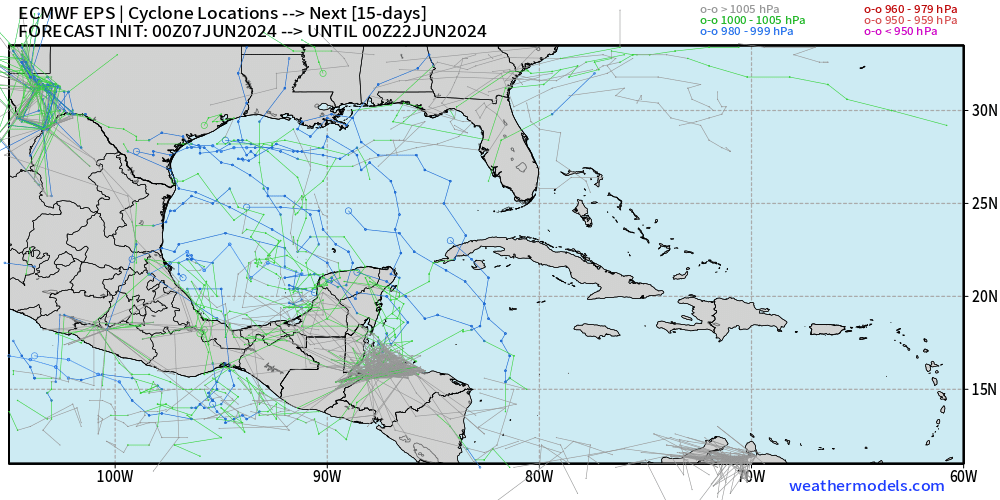
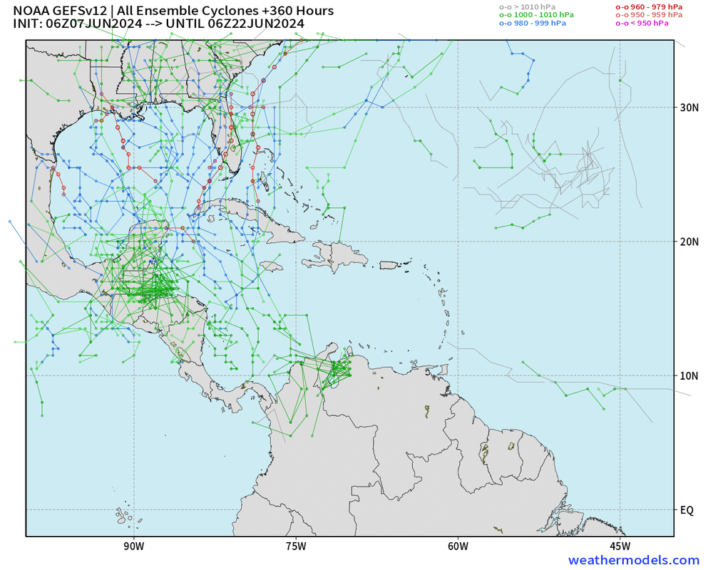
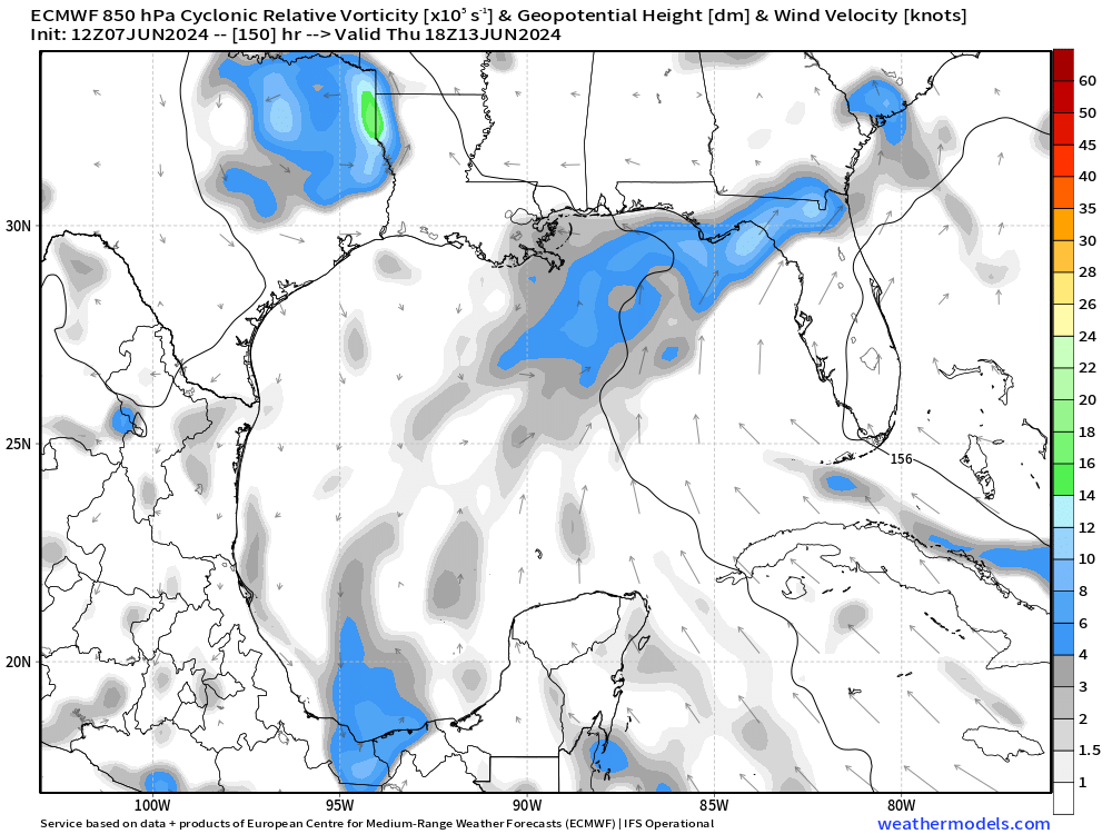
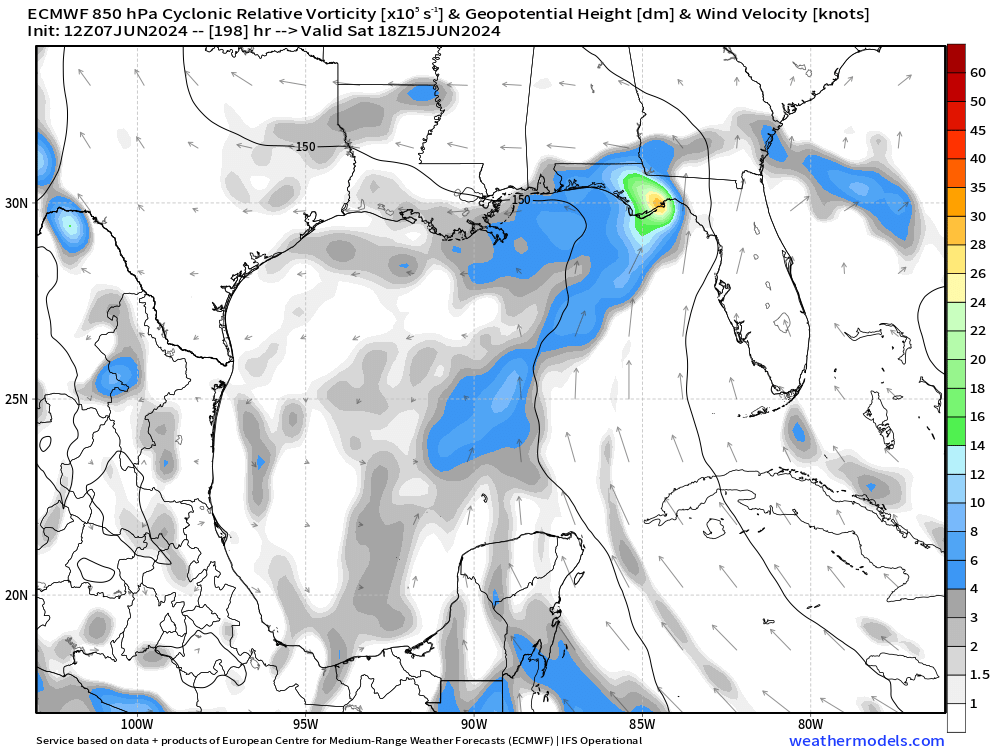
kevin wrote:Surprisingly 12z ICON develops the first disturbance (the one near Florida around June 10 - 13 that GFS was enthusiastic about a few days ago before jumping to the current slightly later CAG disturbance further west) into a TD at +135 hr before landfall as a weak 1007 mbar system around 165 hrs. Won't amount to much either way, but who knows maybe it'll be worthy of a name.
https://i.imgur.com/y3AidAg.png
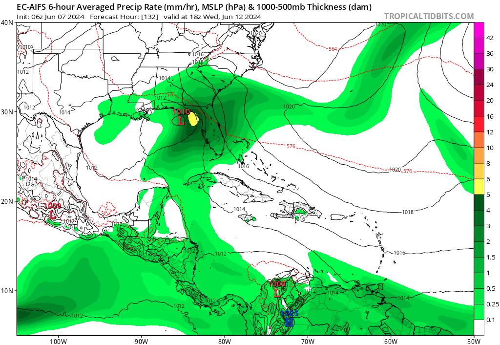


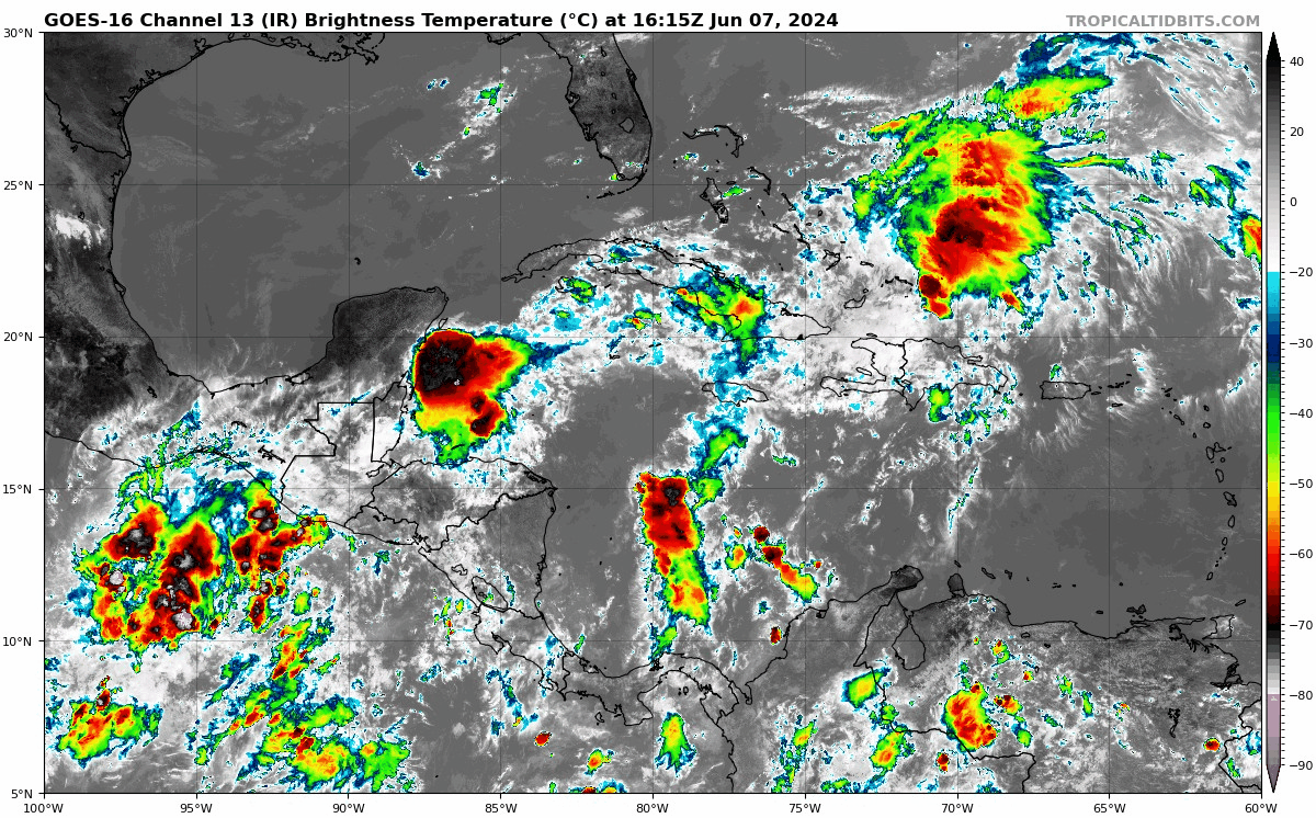
kevin wrote:The 12z GFS also leans a bit more towards the first disturbance. It has a sort of middle solution where the original disturbance at around 120 to 150 hours eventually takes over. It prevents any real development of the second western disturbance later on, but does result in a 995 mb TS near Florida. With a notable number of Euro members also showing something (as well as ICON, CMC and Euro-AIFS) there is a pretty good chance imo that we'll see something next week. Whether it's 'only' gonna be rain or also a TC is still up in the air.
https://www.tropicaltidbits.com/analysis/models/gfs/2024060712/gfs_mslp_pcpn_eus_30.png


MetroMike wrote:When does the EMCWF non AIFS 12z model show up on Tropical Tidbits now? seem later now everyday
skyline385 wrote:MetroMike wrote:When does the EMCWF non AIFS 12z model show up on Tropical Tidbits now? seem later now everyday
If you are using only tracking NATL, use Pivotal Weather for ECMWF HRES ("non AIFS" or IFS model). It loads there almost at the same time as EC-Fast on Tropical Tidbits.
https://www.pivotalweather.com/model.php?m=ecmwf_full
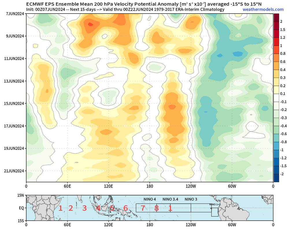
The euro isnt bringing much precip to sefl, seems underdone but the gfs isnt laying down big totals either.skyline385 wrote:Caribbean popping off as the MJO seems to be here finally
Users browsing this forum: Google Adsense [Bot] and 79 guests


