
Sent from my iPhone using Tapatalk
Moderator: S2k Moderators


skyline385 wrote:Ignoring 91L on the EPS (whose development is a big question right now), this looks extremely dire for peak season.
https://uploads.tapatalk-cdn.com/20220902/e62d35a5e96921223cdb49370168dc84.jpg
Sent from my iPhone using Tapatalk
Hammy wrote:skyline385 wrote:Ignoring 91L on the EPS (whose development is a big question right now), this looks extremely dire for peak season.
https://uploads.tapatalk-cdn.com/20220902/e62d35a5e96921223cdb49370168dc84.jpg
Sent from my iPhone using Tapatalk
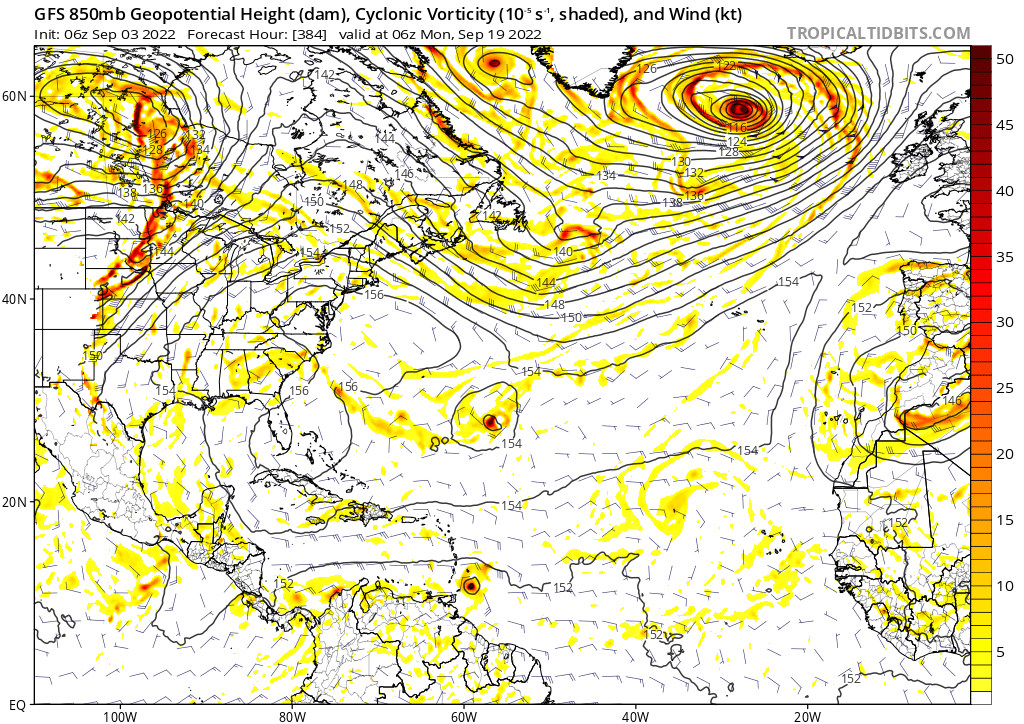
The total absence of waves at 10-13N (with everything being above that) is kind of amazing
skyline385 wrote:Ignoring 91L on the EPS (whose development is a big question right now), this looks extremely dire for peak season.
https://uploads.tapatalk-cdn.com/20220902/e62d35a5e96921223cdb49370168dc84.jpg
Sent from my iPhone using Tapatalk


aspen wrote:The models are slightly less quiet today. All show a wave that’ll exit Africa in the next 24-36 hours attempt to develop in the northern MDR. While it’ll come off at a high latitude, it’ll do W or WNW for several days, unlike 94L which was immediately sent NW.
Further out, the CMC has a really strong wave exit Africa and a low in the BoC at the end of its 12z run, and the GFS has a tiny MDR TC in the super long range.
ouragans wrote:aspen wrote:The models are slightly less quiet today. All show a wave that’ll exit Africa in the next 24-36 hours attempt to develop in the northern MDR. While it’ll come off at a high latitude, it’ll do W or WNW for several days, unlike 94L which was immediately sent NW.
Further out, the CMC has a really strong wave exit Africa and a low in the BoC at the end of its 12z run, and the GFS has a tiny MDR TC in the super long range.
Surprisingly no mention in 8PM TWO


aspen wrote:Euro and CMC are starting to latch onto a wave that’ll exit Africa around 9/11-9/13. The exact date differs between models and runs. The 12z Euro has its classic MDR/Africa bias and shows the wave developing over land.
Around the same time, the GFS and CMC show a disturbance over Central America that either goes into the EPac (GFS) or Gulf of Mexico (CMC).

Iceresistance wrote:aspen wrote:Euro and CMC are starting to latch onto a wave that’ll exit Africa around 9/11-9/13. The exact date differs between models and runs. The 12z Euro has its classic MDR/Africa bias and shows the wave developing over land.
Around the same time, the GFS and CMC show a disturbance over Central America that either goes into the EPac (GFS) or Gulf of Mexico (CMC).
12z EPS is going crazy with the 9/13 wave.
Users browsing this forum: bird and 153 guests


