


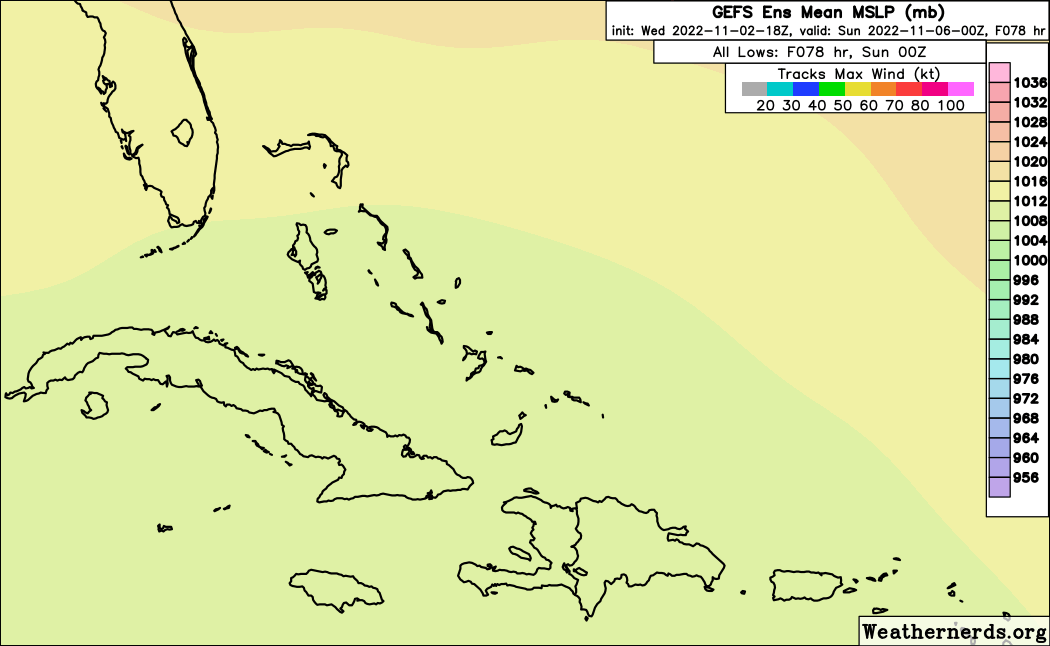
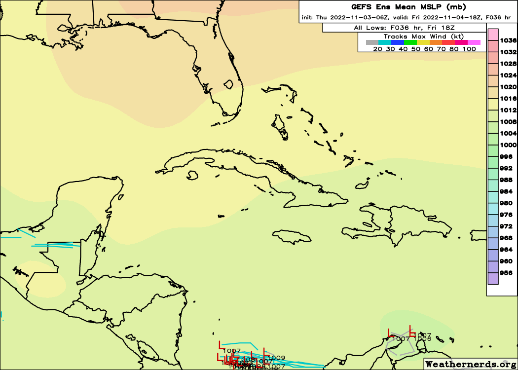
Southwestern Atlantic:
A complex, non-tropical area of low pressure is expected to develop
this weekend over the northeastern Caribbean Sea or the
southwestern Atlantic. Some slow subtropical or tropical
development of this system is possible afterward while it moves
generally northward to northwestward through early next week.
* Formation chance through 48 hours...low...near 0 percent.
* Formation chance through 5 days...low...20 percent.


