
The 00zGFS has that low off SE Florida at 384hrs. The interesting part of this is that the low never gets lost and reappears later on this run. Its consistently there.
http://www.nco.ncep.noaa.gov/pmb/nwprod ... p_384m.gif
Long Range Models
Moderator: S2k Moderators
Forum rules

The posts in this forum are NOT official forecasts and should not be used as such. They are just the opinion of the poster and may or may not be backed by sound meteorological data. They are NOT endorsed by any professional institution or STORM2K. For official information, please refer to products from the National Hurricane Center and National Weather Service.


-
Eyewall
Re: Long Range Models(Feature off Africa in 84 Hours [per GFS])
Even if this does not happen I still say this is a bad sign of things to come. These waves have been impressive since May.The cv season will get going no later than last week of July. 
0 likes

-
Meso

- Category 5

- Posts: 1609
- Age: 39
- Joined: Mon Aug 09, 2004 12:14 pm
- Location: South Africa
- Contact:
12z CMC
48 Hours
Wave begins to emerge off Africa
78 Hours
Has the low
138 Hours
Still has low moving West
LARGE Sat image
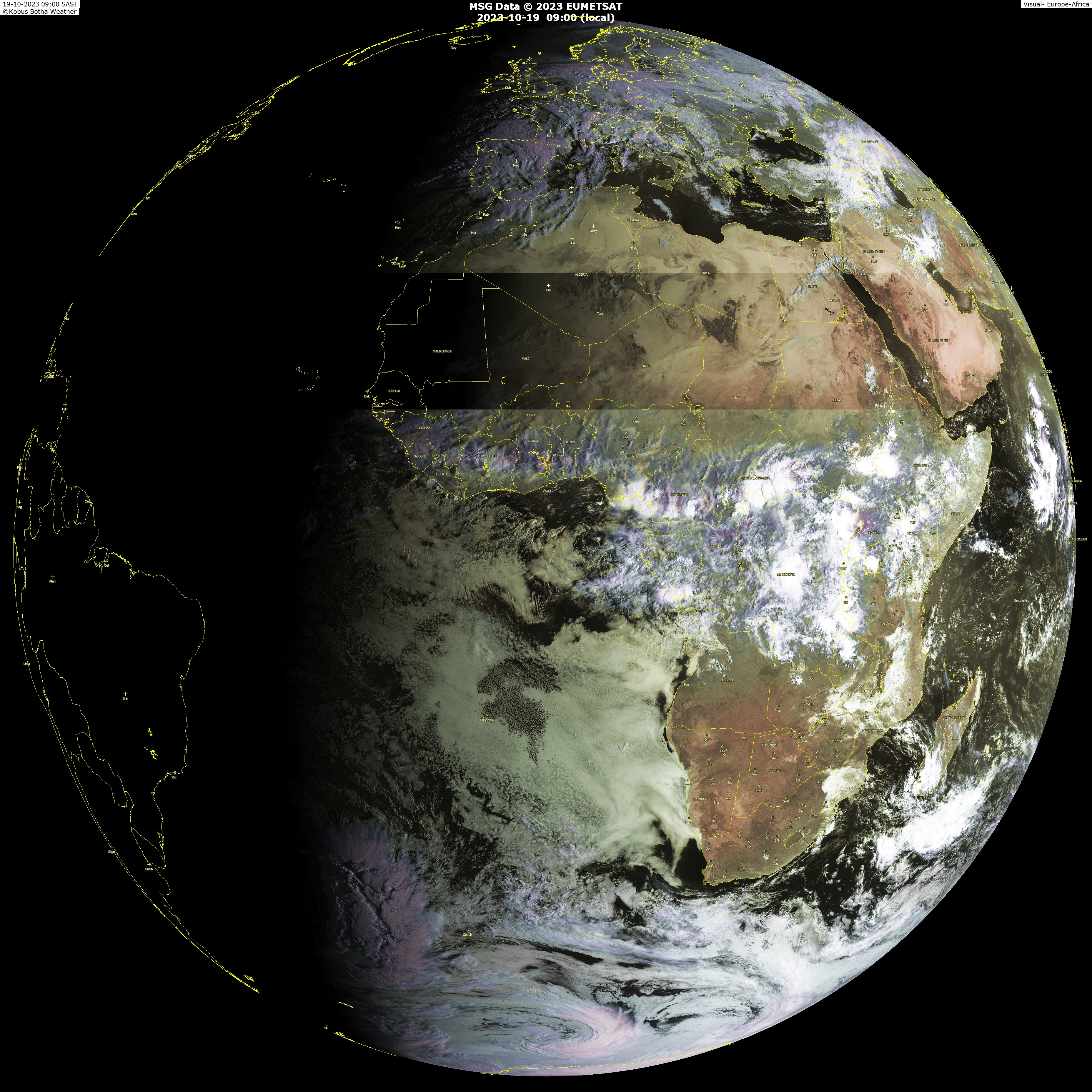
I`m thinking the current convection over Ghana is the area that the models are developing
48 Hours
Wave begins to emerge off Africa
78 Hours
Has the low
138 Hours
Still has low moving West
LARGE Sat image
I`m thinking the current convection over Ghana is the area that the models are developing
0 likes
-
deltadog03

- Professional-Met

- Posts: 3580
- Joined: Tue Jul 05, 2005 6:16 pm
- Location: Macon, GA
Interesting that the ECM also shows a weak closed low as well, doesn't look strong enough to be a tropical depression.
The GFS run also has it but seems to take the wave NW as soon as it hits the waters obviously into cooler waters and probably into higher shear as well. We shall see what will happen.
The GFS run also has it but seems to take the wave NW as soon as it hits the waters obviously into cooler waters and probably into higher shear as well. We shall see what will happen.
0 likes
Re: Long Range Models(Feature off Africa in 84 Hours [per GFS])
GFS nailed one from far out last year, but June tells me a 72 hour CV prediction is unlikely.
0 likes
-
srainhoutx

- S2K Supporter

- Posts: 6919
- Age: 68
- Joined: Sun Jan 14, 2007 11:34 am
- Location: Haywood County, NC
- Contact:
Re:
deltadog03 wrote:Euro also showing a week wave into the central GOM in the upcoming week.
Add moves it westbound by the 4th of July.
0 likes
Well late June to be fair, unlikely but we did see a TD form in the eastern Atlantic in late June in 2000 so its not totally impossible, just very unlikely it does have to be said. I suspect the models are just developing a strong tropical wave with a weak closed off circulation present, doesn't mean its going to beocme a tropical cyclone.
0 likes

-
SouthFloridawx

- S2K Supporter
- Posts: 8346
- Age: 47
- Joined: Tue Jul 26, 2005 1:16 am
- Location: Sarasota, FL
- Contact:
Re: Long Range Models(Feature off Africa in 84 Hours [per GFS])
Consensus or not... It's picking up on something out there, in the short-term future. 72-96 hours, low pressure in the East Atlantic. Hopefully we'll have something to track. That and the upper level high building in the Gulf with a wave nearby.
0 likes
Re:
KWT wrote:Interesting that the ECM also shows a weak closed low as well, doesn't look strong enough to be a tropical depression.
It looks more like a open wave on here:
http://www.meteo.psu.edu/~gadomski/ECMW ... floop.html
0 likes
Who is online
Users browsing this forum: No registered users and 44 guests