Jr0d wrote:SFLcane wrote:Warm waters are fine in the caribbean but thankfully its been extremely hard to get anything from east past 75 west thankfully this season certainly dont see that changing. Other then the rare epac crossover this season was pretty uneventful for the Conus hopfully it stays that way.
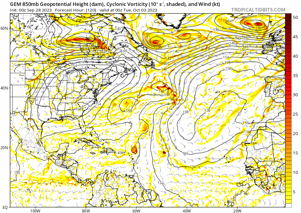
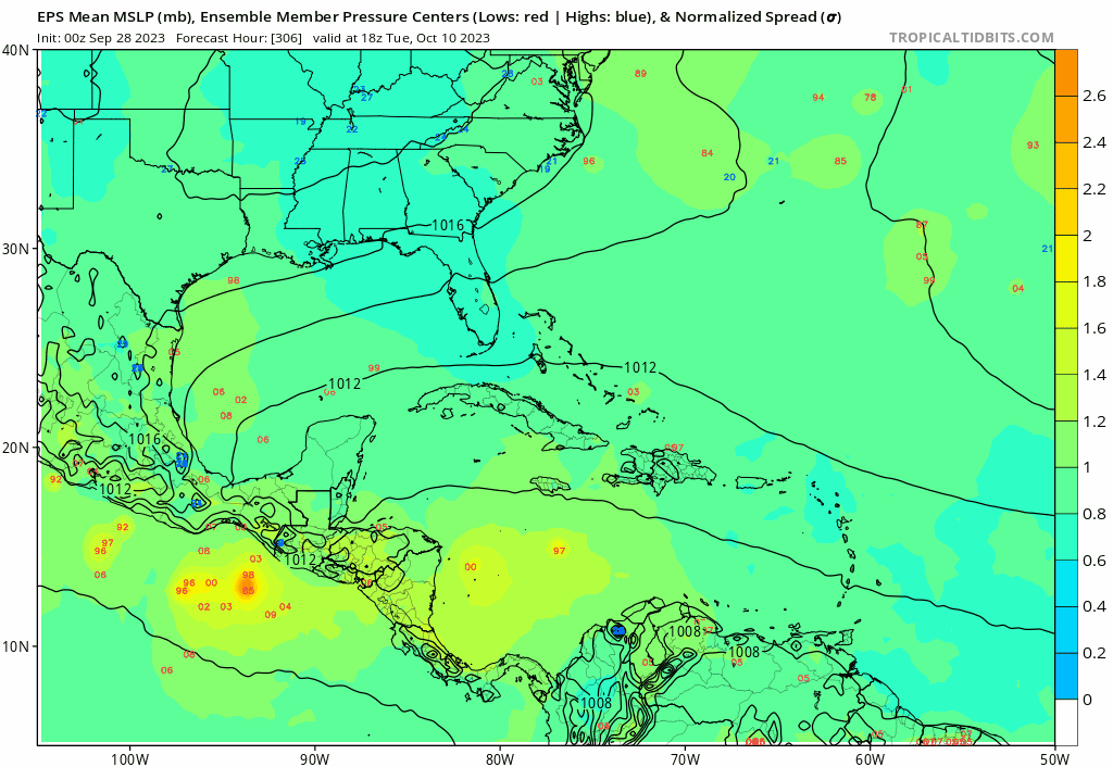
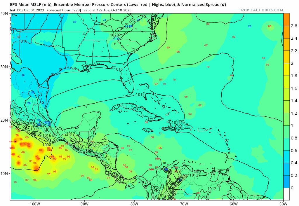
I am worried about a CAG storm. It seems like the pattern is setting up as we have had several pulses already causing stormy weather here in the Keys. The CMC operational is showing a storm form in about a week in the NW Caribbean and the GFS ensembles are also showing a signal.
I would be willing to bet we will get a hurricane from this region in October. Hopefully shear will be an inhibiting factor as the water temps could easily support a high end major hurricane.
The gfs around oct10th had a big front clearing fl. Highs only mid to upper 70s lows getting into upper 50s for my area od swfl. Gulf will really cool if the temps don't rebound after a few days! This also could be the time a cag storm lifts north if something can get going like the canadian shows.