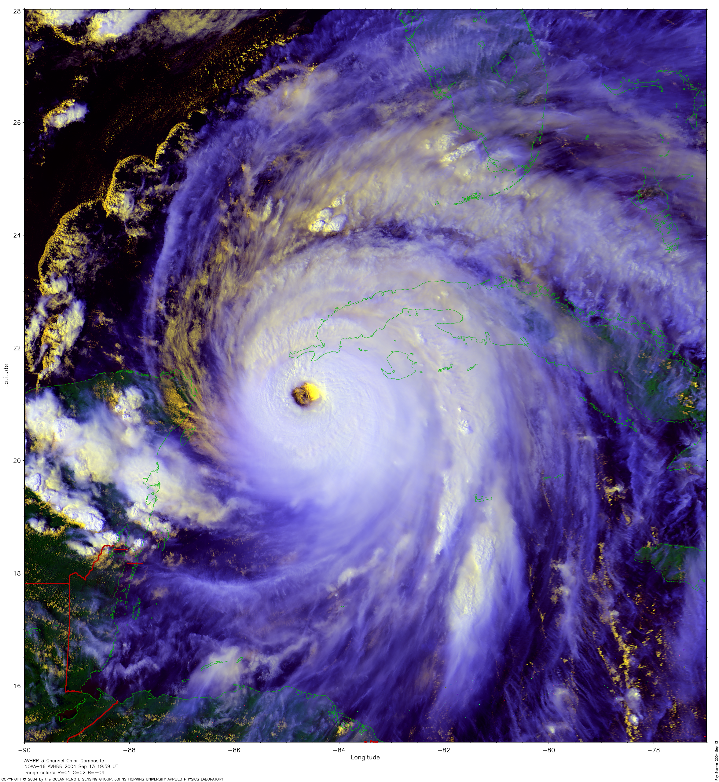
Images of Hurricane Rita haved not been posted yet at this thread so I am posting some of them.
Moderator: S2k Moderators


Calamity wrote:wxmann_91 wrote:STY Nabi
Wow, huge eye.
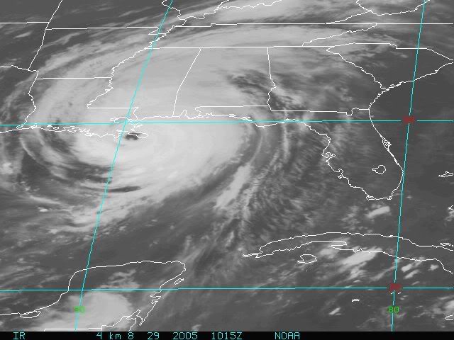
This is a small-sized loop of Hurricane Georges making landfall:
Users browsing this forum: No registered users and 176 guests