Thursday could prove quite stormy in the Southeast, particularly in South Carolina with the current data. Fairly Steep Lapse Rates could provide the threat of large hail, and speed shear looks quite good as well.
LI progged to run between -2 and -4, yielding a potential CAPE around 1900 J/KG ...
Some potential for Severe WX in the Southeast Thursday
Moderator: S2k Moderators
Forum rules

The posts in this forum are NOT official forecast and should not be used as such. They are just the opinion of the poster and may or may not be backed by sound meteorological data. They are NOT endorsed by any professional institution or STORM2K.
-
Stormsfury

- Category 5

- Posts: 10549
- Age: 53
- Joined: Wed Feb 05, 2003 6:27 pm
- Location: Summerville, SC
-
Stormsfury
- Category 5
- Posts: 10549
- Age: 53
- Joined: Wed Feb 05, 2003 6:27 pm
- Location: Summerville, SC
-
Stormsfury
- Category 5
- Posts: 10549
- Age: 53
- Joined: Wed Feb 05, 2003 6:27 pm
- Location: Summerville, SC
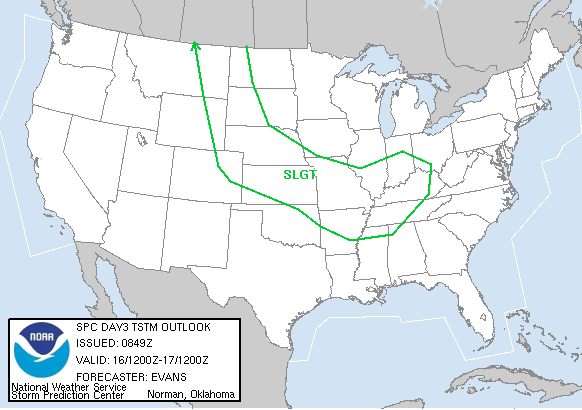
STORM PREDICTION CENTER...NWS/NCEP...NORMAN OK
DAY 3 CONVECTIVE OUTLOOK...REF AWIPS GRAPHIC PGWK48 KWNS.
VALID 131200-141200
LESS THAN A SLIGHT RISK.
...MID ATLANTIC COAST...
S/WV TROUGH EXPECTED TO BE OVER OHIO VALLEY AT 12Z THU...TRACKS
ESEWD TO OFF MID ATLANTIC COAST BY 06Z FRI ON ETA AND GFS. SOME
INTENSIFICATION OF TROUGH ON BOTH MODELS...WITH GFS POSSIBLY A
LITTLE TOO AGGRESSIVE. THE ASSOCIATED WEAK SURFACE LOW AT 12Z THU
VICINITY OH RIVER SHOULD GRADUALLY BECOME BETTER ORGANIZED AS IT
TRACKS EWD ALONG STATIONARY FRONTAL ZONE THRU SRN DELMARVA BY THE
EVENING.
BEST LOW LEVEL MOISTURE WILL BE CONFINED TO COASTAL CAROLINAS/SERN
VA WITH DRIER AIR IN DOWNSLOPING SWLY FLOW AHEAD OF LOW AND
ASSOCIATED COLD FRONT TO E OF APPALACHIANS. THUNDERSTORMS SHOULD
DEVELOP DURING EARLY AFTERNOON AHEAD OF SURFACE LOW AND SWD THRU
ERN NORTH CAROLINA MOVING OFFSHORE BY EVENING. GIVEN THE
UNCERTAINTY IN THE AVAILABLE INSTABILITY WILL KEEP SEVERE
PROBABILITIES BELOW THE SLIGHT THRESHOLD ATTM. HOWEVER AREA COULD
BE UPGRADED IN LATER FORECASTS IF LOW LEVEL MOISTURE/INSTABILITY
GREATER THAN NOW EXPECTED.
..HALES.. 03/11/03
NOTE: THE NEXT DAY 3 OUTLOOK IS SCHEDULED FOR 1200Z
[/img]
0 likes
Return to “USA & Caribbean Weather”
Who is online
Users browsing this forum: ElectricStorm and 92 guests