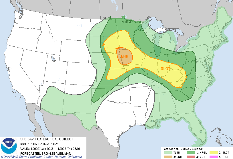
New SWODY1...moderate risk area extended north!
Posted: Fri Feb 21, 2003 1:48 am
Here's the link to the SWODY1 issued at 1 a.m. EST..

There is a good possibility of severe thunderstorms and tornadoes this afternoon and into tonight from southeast Texas to Alabama.
A few significant tornadoes (F2 or higher) are possible........
Portions of this area may be upgraded to a high risk later today (especially southern Mississippi and western/southern Alabama IMO)
It appears likely IMO the severe weather threat will remain significant on Saturday across Georgia, South and North Carolina, and northern portions of Florida, with a continued risk of strong tornadoes.
This is a very dangerous weather situation unfolding across the south. I strongly urge residents of these areas to closely monitor local weather conditions and listen to later statements and possible watches/ warnings over NOAA Weather Radio or a trusted tv/ radio station.
-----
PW