NWS Austin/San Antonio, TX
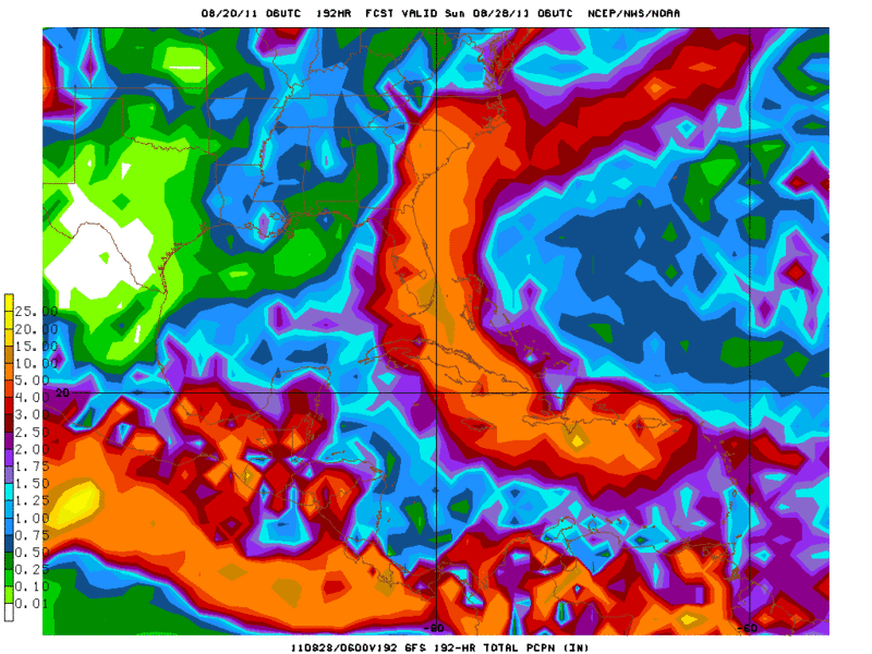
LONG-RANGE MODELS ARE SUGGESTING THE POTENTIAL FOR A FRONTAL
PASSAGE ACROSS THE SOUTHERN PLAINS IN THE 192 TO 240-HR TIME
FRAME. THIS IS BEYOND THE CURRENT FORECAST PERIOD...BUT BEARS
WATCHING AS IT WOULD BE OUR NEXT BEST SHOT FOR RAIN.
FIRE WEATHER...
ELEVATED FIRE WEATHER CONDITIONS ARE EXPECTED DURING THE AFTERNOON
AND EVENING HOURS THROUGH SUNDAY. 20-FT WINDS WILL BE SOUTH TO
SOUTHEAST AT 10 TO 15 MPH WITH OCCASIONAL GUSTS TO 20 MPH DURING
THE LATE AFTERNOON AND INTO THE EVENING. THE GUSTY WINDS WILL
COMBINE WITH RELATIVE HUMIDITIES RANGING FROM 20 TO 30 PERCENT TO
PROMOTE THE SPREAD OF WILDFIRES. THE ONGOING DROUGHT HAS RESULTED
IN EXTREMELY DRY FUELS WHICH WILL BE EASILY IGNITED.
Not holding my breath.
Edited @2pm to add (because I don't want to make yet another new post lol)
(San Antonio)
Stage 3 water limits loomingWith no rain in sight and temperatures scorching, Stage 3 water-use restrictions could be announced as early as Monday, the Edwards Aquifer Authority said Wednesday.
When that happens, landscape sprinkling will be allowed only once every two weeks, rather than weekly, unless by a hand-held hose, and restrictions for hotels and golf courses would be tightened. All other Stage 2 restrictions would remain in effect.
For more complete info, see
San Antonio Water System Stage 3I can't find anything that even says what Austin's Stage 3 is. Weird huh? I figure it will be close to SA's.
Edited yet again. According to a
PDF file I found Stage 3 is triggered by when the Highland Lakes are down to 681,000 acre feet. (Stage 2 is 900,000) and the only thing is says is "No outdoor watering allowed"