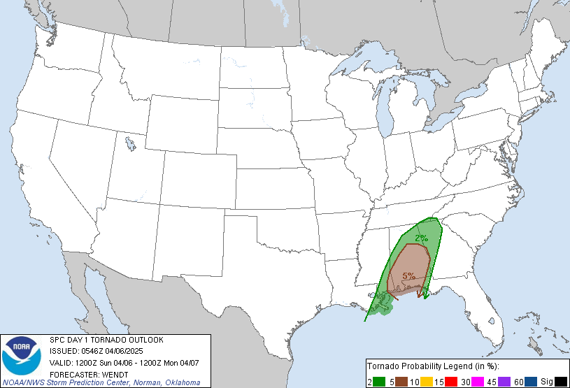
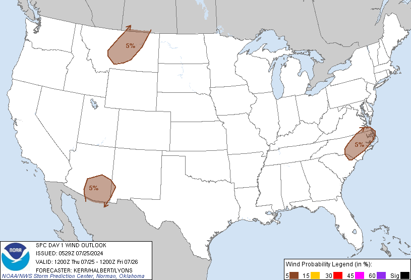
http://www.spc.noaa.gov/products/outlook/day1otlk.html


Moderator: S2k Moderators


WaitingForSiren wrote:Geez, what an embarassment. I mean, i know its still too early to call it, but this has BUST written all over it. Crap convection, marginally severe across arkansas and into lousiana...with widespread clouds ahead of it with the exception of MS. It looks like unless a miracle happens and tornadic supercells explode ahead of this line, this will be nothing but a marginal wind event with brief tornadoes. Man, I feel let down, lol. But, again, it is STILL possible for this thing to go to town this afternoon. If that clearing line can expand north and a supercell can develop across western Kentucky or something, we could still see a long track tornado, but otherwise this isnt looking like a major outbreak any more. Oh well.


WaitingForSiren wrote:Geez, what an embarassment. I mean, i know its still too early to call it, but this has BUST written all over it. Crap convection, marginally severe across arkansas and into lousiana...with widespread clouds ahead of it with the exception of MS. It looks like unless a miracle happens and tornadic supercells explode ahead of this line, this will be nothing but a marginal wind event with brief tornadoes. Man, I feel let down, lol. But, again, it is STILL possible for this thing to go to town this afternoon. If that clearing line can expand north and a supercell can develop across western Kentucky or something, we could still see a long track tornado, but otherwise this isnt looking like a major outbreak any more. Oh well.


CrazyC83 wrote:The national radar is getting more and more spectacular approaching the Mississippi Valley...and it's only 11:00 am there so plenty of daytime heating left...
Return to “USA & Caribbean Weather”
Users browsing this forum: No registered users and 115 guests