GFS/ETA Precip Amounts/Severe Threats

U.S. & Caribbean Weather Discussions and Severe Weather Events

Moderator: S2k Moderators

Forum rules

The posts in this forum are NOT official forecast and should not be used as such. They are just the opinion of the poster and may or may not be backed by sound meteorological data. They are NOT endorsed by any professional institution or STORM2K.

Help Support Storm2K
Message
Author
User avatar
Stormsfury
Category 5
Category 5
Posts: 10549
Age: 53
Joined: Wed Feb 05, 2003 6:27 pm
Location: Summerville, SC

GFS/ETA Precip Amounts/Severe Threats

#1 Postby Stormsfury » Wed Mar 19, 2003 8:32 am

Both in agreement with regards to potential of heavy/flooding rains Southeast/Mid Atlantic
GFS 06z (66 hr 60hr QPF)
Image

ETA 00z (72 hr 60hr QPF)
Image

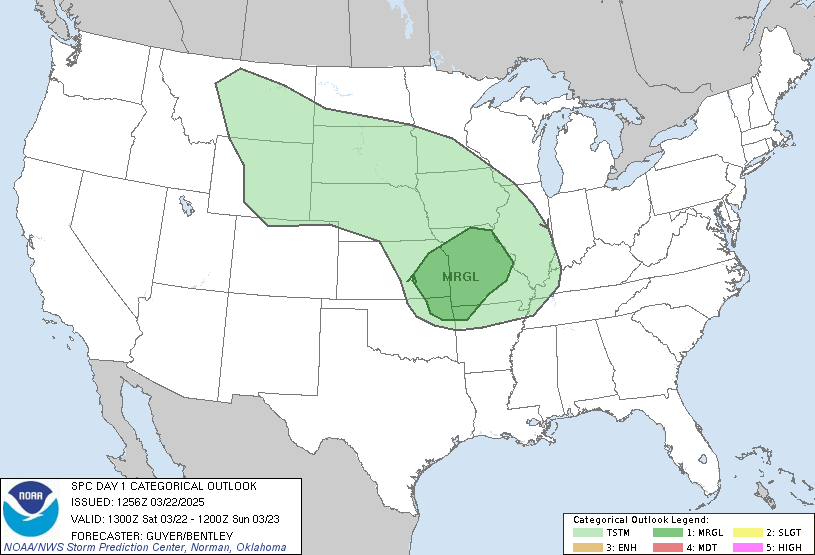
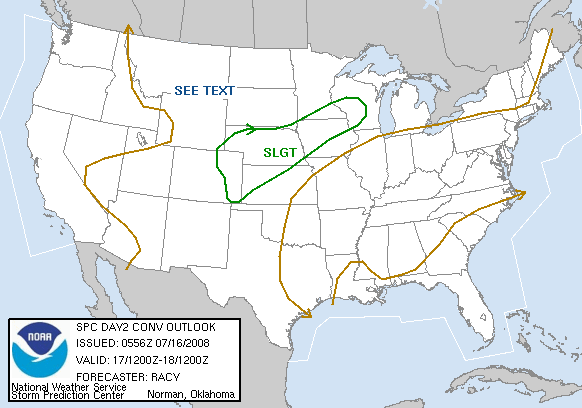
SPC has outlines the Southeast States for the next 3 days in a Slight risk, with conditions which may warrant upgrading to moderate risk if potential this afternoon is realized.

Image
Image
Image
0 likes   

User avatar
Stormsfury
Category 5
Category 5
Posts: 10549
Age: 53
Joined: Wed Feb 05, 2003 6:27 pm
Location: Summerville, SC

#2 Postby Stormsfury » Wed Mar 19, 2003 10:18 am

Quick Update: Local area observations.

Winds have already backed around to the ESE and SE at Mid-Levels ... the potential of severe weather continues to grow as shear profiles may support supercells, large hail, damaging winds, and maybe even tornadoes today.

Latest GFS/ETA progged QPF tallies from Wednesday thru Friday indicate the potential for 2"-4" of rainfall as BOTH models are progging at least 3 rounds of thunderstorms in the coming few days.

Tomorrow's threat is primarily based on instability factors, and airmass recovery, with the potential primarily for damaging winds.
Friday, another squall line is progged by the ETA (stronger) and GFS for Friday as the storm system opens into a trough, and pulls out to the NE.
0 likes   

User avatar
wx247
S2K Supporter
S2K Supporter
Posts: 14279
Age: 41
Joined: Wed Feb 05, 2003 10:35 pm
Location: Monett, Missouri
Contact:

#3 Postby wx247 » Wed Mar 19, 2003 10:41 am

Yeepers! Looks like a lot of rain for me too! :o
0 likes   
Personal Forecast Disclaimer:
The posts in this forum are NOT official forecast and should not be used as such. They are just the opinion of the poster and may or may not be backed by sound meteorological data. They are NOT endorsed by any professional institution or storm2k.org. For official information, please refer to the NHC and NWS products.

User avatar
StormCrazyIowan
Category 5
Category 5
Posts: 6599
Age: 42
Joined: Tue Feb 11, 2003 8:13 pm
Location: Quad Cities, IA
Contact:

#4 Postby StormCrazyIowan » Wed Mar 19, 2003 10:51 am

Me too! :D
0 likes   

GAStorm
Category 1
Category 1
Posts: 364
Joined: Mon Dec 16, 2002 5:26 pm
Location: Marietta, GA

#5 Postby GAStorm » Wed Mar 19, 2003 2:18 pm

Looking at the current radar for TN, I would think that there will be more reports of tornadoes real soon. I think that AL, GA, TN, SC, and NC will be looking at a tornado threat through tomorrow. Any thoughts on dewpoints and tornado potential Stormsfury?
0 likes   

User avatar
Stormsfury
Category 5
Category 5
Posts: 10549
Age: 53
Joined: Wed Feb 05, 2003 6:27 pm
Location: Summerville, SC

#6 Postby Stormsfury » Wed Mar 19, 2003 2:49 pm

Tennessee continues under the gun as I type.

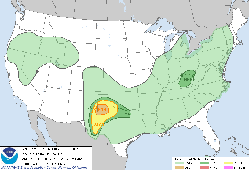
Yes, the potential later tonight is there for tornadoes tonight as a SE-NW oriented band of thunderstorms develops tonight .... also at the same time, CHS has placed my region under a flash flood watch starting midnight tonight until midnight Friday.

Here's the latest regarding this from SPC ...
Image

...KY/TN SWD AND SEWD THRU GA...

VERY STRONG LOW LEVEL JET WAS PRESENT THIS MORNING FROM NRN AL
NWD/NWWD INTO THE MID MS VALLEY REGION. MORNING RAOBS SHOWED 50-60
KT LLJ ACROSS THE MID TN VALLEY WITH THERMAL RIDGE THAT REACHED NWD
INTO IN/OH. MODELS DEPICT ONE MID LEVEL JET STREAK IS CURRENTLY
MOVING INTO TN/KY AND WILL WEAKEN AS MID/UPPER LEVEL LOW ROTATES
AROUND OVER NERN OK/SWRN MO. A SECOND JET STREAK WILL EXTEND FROM
SRN TX NEWD INTO SERN LA ENHANCING MID/UPPER LEVEL DIFFLUENCE OVER
E CENTRAL AL AND CENTRAL GA LATER THIS AFTERNOON AND TONIGHT. THIS
IS EXPECTED TO INCREASE UVVS IN THE VICINITY OF THE COLD FRONT AND
WHERE A TRIPLE POINT WILL DEVELOP NEAR/S OF THE ATL AREA WHERE THE
SRN EXTENT OF THE COLD AIR DAMMING/WARM FRONT WILL BE LOCATED.

AIR MASS IS EXPECTED TO DESTABILIZE ACROSS ERN AL AND GA THIS
AFTERNOON WITH CAPES FORECAST BY THE ETA TO REACH 2000 J/KG. THIS
COMBINED WITH VERY LOW WET BULB ZERO/FREEZING LEVELS OF 5000 TO
7000 FT SUGGESTS THAT STORMS WILL PRODUCE LARGE HAIL AND DAMAGING
WINDS. DEEP LAYER SHEAR OF 80 KT IS ALSO FORECAST WITH A HELICITY
GRADIENT ACROSS NRN GA. SUPERCELLS WITH SOME TORNADOES CAN ALSO BE
EXPECTED FROM E CENTRAL AL EWD INTO CENTRAL GA THIS AFTERNOON AND
EARLY TONIGHT.
0 likes   


Return to “USA & Caribbean Weather”

Who is online

Users browsing this forum: No registered users and 12 guests