 The posts in this forum are NOT official forecast and should not be used as such. They are just the opinion of the poster and may or may not be backed by sound meteorological data. They are NOT endorsed by any professional institution or

As most of us know...the criteria (established by NOAA) needed in order for El nino conditions to officially be declared is for SSTA anomalies in the ENSO region 3.4 to average at least 0.5C above normal for at least three months. This criteria has NOT yet been met. The data below illustrates this:
2003 8 20.14 -.66 25.04 .08 29.05 .60 26.85 .15
2003 9 20.00 -.48 24.97 .14 29.02 .54 26.96 .32
2003 10 20.99 .08 25.33 .43 29.22 .81 27.19 .60
The values in bold represent the Nino 3.4 anomalies over the past three months...and as we can see...the ENSO 3.4 anomaly has only warmed above 0.50C in one of the past three months...and eventhough this Novembers anomalies in the 3.4 region (not shown) should also average above 0.50C, we would only be left with 2 months of SSTA anomalies above 0.50C. therefore (officially speaking) El nino conditions will not be declared until late december...providing that we also observe SSTA above the critical value in december as well.
SSTA data:
ftp://ftpprd.ncep.noaa.gov/pub/cpc/wd52 ... oi.indices
This afternoons run of the NCEP ENSO climate model Supports the trend toward El nino:
Monthly SSTA:

Three Season mean:

As we can see the modelis forecasting the greatest warm anomalies relative to normal to be located in the western pacific...on the order of +0.6 to +1.0C above normal.
The NCEP ENSO model has support from the latest (NOV) run of the AGCM as well:
http://www.emc.ncep.noaa.gov/cmb/atm_fo ... urrent.gif
Note the similar placement of the warm SSTA. furthermore...another surge in the MJO is about to occur...
http://www.cpc.ncep.noaa.gov/products/p ... nthly.html
note the area of increased convection just to the west of the dateline in the equatorial pacific. this convection is likely being enhanced by the very warm SSTA locatedin that particular region. normally the MJO is less active in El Nino winters, although when one has the greatest anomalies relative to normal located in that region...it promots increased convection and a more active MJO. remember that the MJO is described by the westward movement of areas of increased and supressed convection across the tropical pacific. normally the MJO cycles last 30 to 60 days. This feature can be used to assess the fluctuations in the strength of the pacific jet. when the MJO becomes active...the pacific jet becomes enhanced.
this latest surge in the MJO will likely result in the enhancement of the paciifc jet over the next week to 10 days.
furthermore...concerning the evolution of equatorial pacific SSTA...the latest sub-surface temperature analysis (mean and anomaly) would indicate a relatively shallow layer of sub-surface temperatures greater than 20C in the equatorial regions.
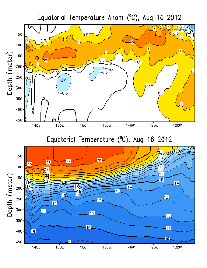
this would not support the development of anything more than a weak El nino in the short term. and one which is centered in the western pacific.
SSTA Nino regions(graphic):
http://www.cpc.ncep.noaa.gov/products/a ... gions.html


/004.gif)
