 The posts in this forum are NOT official forecast and should not be used as such. They are just the opinion of the poster and may or may not be backed by sound meteorological data. They are NOT endorsed by any professional institution or


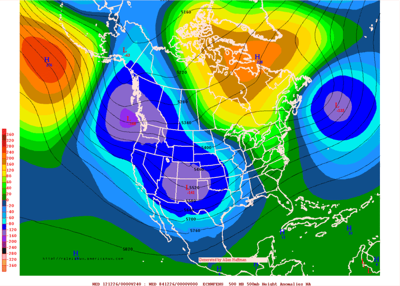
Ntxw wrote:NDG wrote:Exactly my point, we here in the deep south do not get much out of a -AO with such a negative PNA pattern we have seen so far, which has taken even the CPC by surprise.
It seems that you need a strong 1050mb+ Arctic surface high to beat the pattern we are in to make it to us.
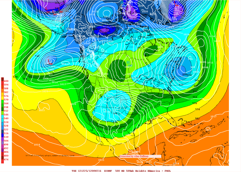
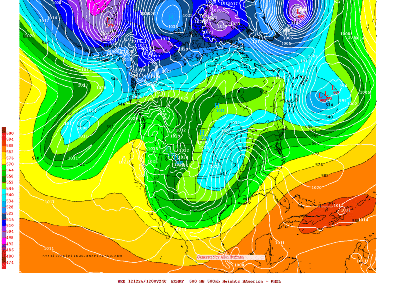
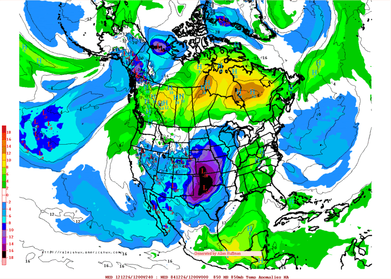
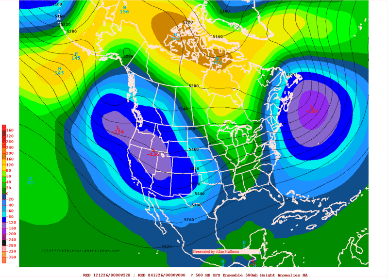
Of course, it's hard to see direct impacts in the south as you mention. The PNA will flip sometime this winter even if briefly, the cold Canadian air is better poised for it. Example of the AO influence will be just before Christmas as the eastern trough will send some cold south from the Northeast into Florida. A freeze might even occur just before Christmas into Central Florida in split flow which is not conducive to cold air there normally but source region allows.
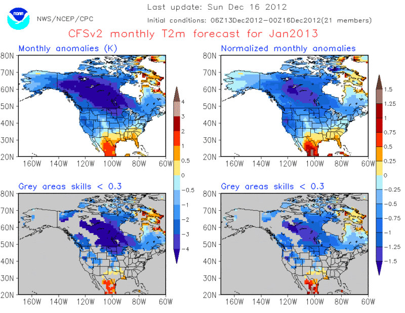
Freeze into central FL before Christmas? I do not see that happening, the Euro and even to some point the GFS have been horrible in their medium range forecast of wanting to deepen a trough over the SE US but has not happened yet. If anything both models have already started backing off of freezing temps for central FL next weekend. Mid to upper 30s for the usual cold spots like Ocala seems to be the coldest central FL will get for next Saturday morning with the rest of us in the 40s for lows.


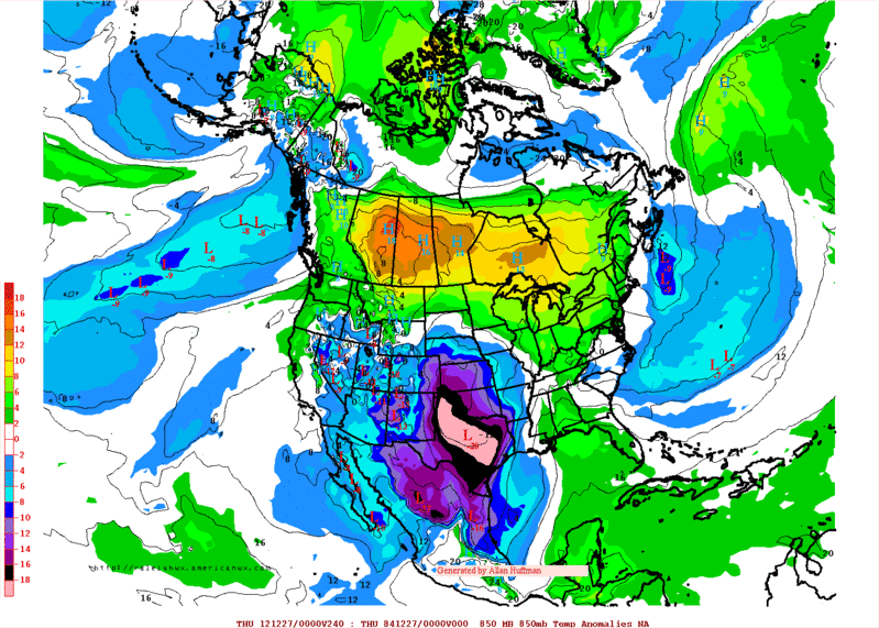
 The trajectory is to the east, so I'm drooling at the idea as well. Unfortunately, Day 9 and 10 just isn't as reliable as we'd like to believe! Starting at Day 8, however, I noticed a nice big high pressure system sitting off/right on the coast of Northern California. Time for the Euro to latch onto this idea and stick with it! The Euro has been flippy-floppy lately in the long term. I say it's high time that it nails one of these long-range predictions.


