Brent wrote:how much of that is snow?

All of it!!
The GEFS looks even wetter, looks like something out of 2015. However, not much in the way of winter wx.
Moderator: S2k Moderators
 The posts in this forum are NOT official forecast and should not be used as such. They are just the opinion of the poster and may or may not be backed by sound meteorological data. They are NOT endorsed by any professional institution or STORM2K.


Brent wrote:how much of that is snow?
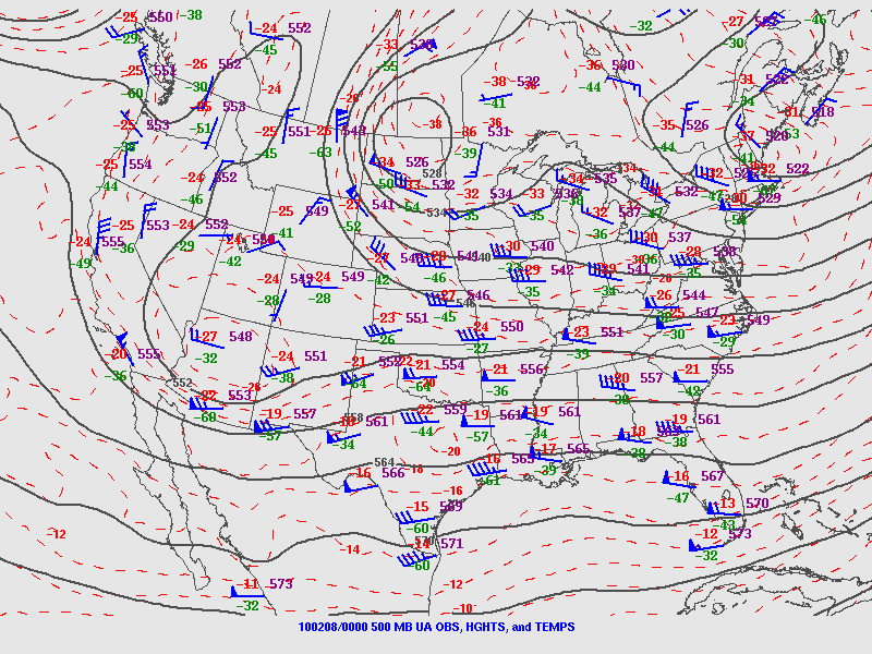
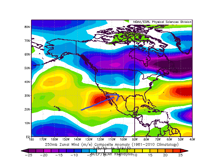
Ntxw wrote:Just because I have free time and wanted to stir something up while our minds are on SNOW.
500mb composite of Feb 2010 from the 8th-12th
https://images2.imgbox.com/a1/14/AKoIqy5i_o.gif
Brent wrote:Ntxw wrote:Just because I have free time and wanted to stir something up while our minds are on SNOW.
500mb composite of Feb 2010 from the 8th-12th
https://images2.imgbox.com/a1/14/AKoIqy5i_o.gif
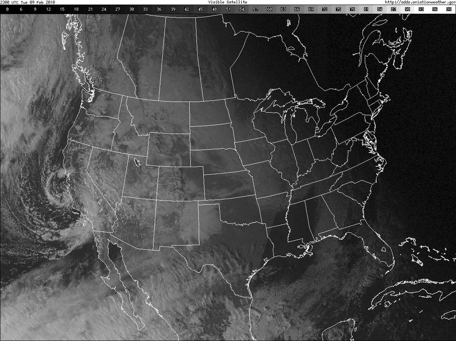
weird how it doesn't even look like a big storm and yet it dropped a foot at DFWI see the shortwave going down CA before that though


spencer817 wrote:Nothing interesting on the models so far tonight, starting to think this is a rain event. At least we'll get some good precip rates out of it.


Cpv17 wrote:Interesting that the GFS and Euro are both in agreement about a second system for the mid part of next week.
https://www.tropicaltidbits.com/analysis/models/gfs/2018120300/gfs_z500a_us_39.png
Haris wrote:EUro is very S with the heavy rains compared to gfs
Cpv17 wrote:Haris wrote:EUro is very S with the heavy rains compared to gfs
The CMC is further south too. I hope DFW can at least get a dusting of snow from this. I want my 3-4” of rain and I want DFW to get at least a dusting from this. If that happens I’ll be fairly happy.
Haris wrote:Yea , give our NTXexans a bit of snow, (not much) hehehe and some strong storms and heavy rains here and its a success!

Users browsing this forum: Google Adsense [Bot] and 186 guests


