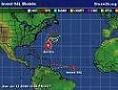
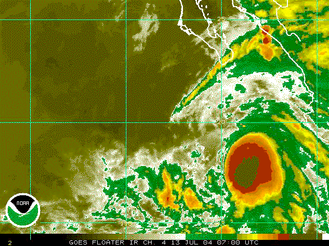
#72 Postby cycloneye » Tue Jul 13, 2004 5:55 pm
At my lead post I said it was going to be a close call but as it moved more quicker than expected it began this afternoon to be invaded by dry air and feel cooler waters.
It wont get to hurricane status as it has peaked and from now the weakening trend is starting by looking at the images less deep convection than this morning.
0 likes
Visit the Caribbean-Central America Weather Thread where you can find at first post web cams,radars
and observations from Caribbean basin members
Click Here