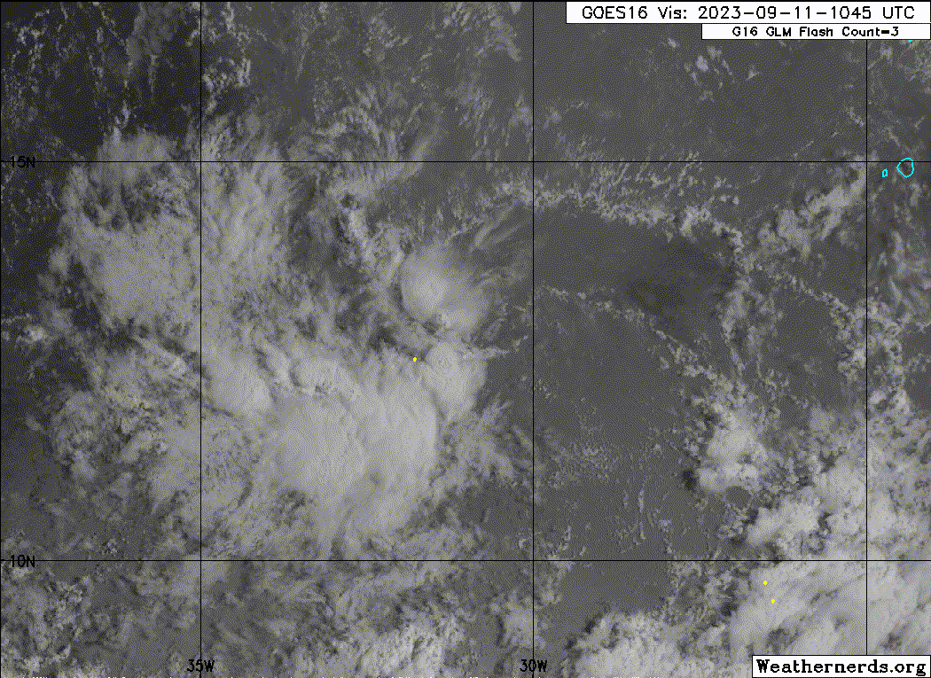
97L INVEST 230909 1800 13.3N 24.8W ATL 25 1011
https://ftp.nhc.noaa.gov/atcf/btk/bal972023.dat

Moderator: S2k Moderators


Landy wrote:Not even marked on outlook ???97L INVEST 230909 1800 13.3N 24.8W ATL 25 1011
https://media.discordapp.net/attachments/733552978572869632/1150210519278559312/goes16_vis-swir_97L_202309092055.gif
Landy wrote:This isn't even what models have been pinging for development. That wave is still over Africa.


Users browsing this forum: No registered users and 10 guests