wxman57 wrote:It HAS dissipated, the NHC just won't stop CPR.
http://wxman57.com/images/itsdeadjim.jpg
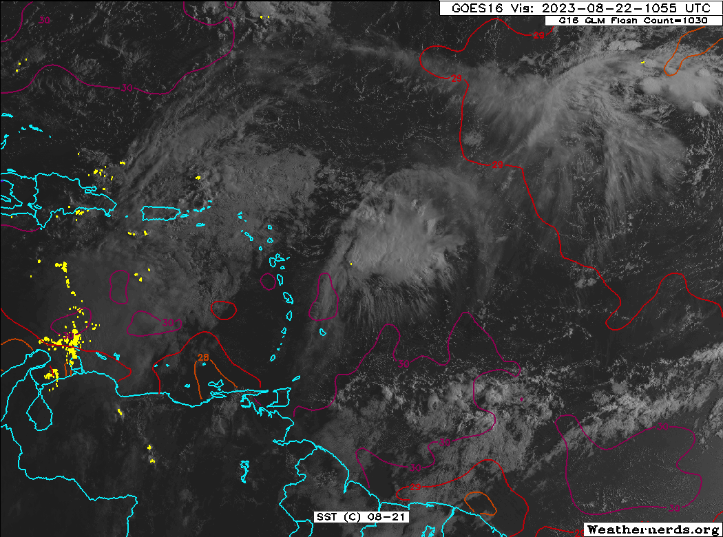
I still see a circulation on Visible Satellite
https://s11.gifyu.com/images/Sg9gv.gif
Moderator: S2k Moderators


wxman57 wrote:It HAS dissipated, the NHC just won't stop CPR.
http://wxman57.com/images/itsdeadjim.jpg


Iceresistance wrote:wxman57 wrote:It HAS dissipated, the NHC just won't stop CPR.
http://wxman57.com/images/itsdeadjim.jpg
I still see a circulation on Visible Satellite
https://s11.gifyu.com/images/Sg9gv.gif
https://s11.gifyu.com/images/Sg9gv.gif


Users browsing this forum: No registered users and 21 guests


