

SFLcane wrote:cycloneye wrote:HAFS-A at 989 mbs south of PR.
https://i.imgur.com/eb7QIKX.png
HAFS-B at 973 mbs south of Mona Channel.
https://i.imgur.com/IbdoN0v.png
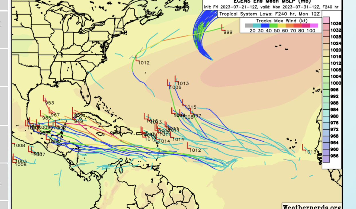
Hurricane models really aren't best for invests...it's an interesting piece of info. Global models basically all kill it
The globals seem to be poorly initializing 95L’s convective activity and are probably underestimating it, but the hurricane models are likely over-estimating it. They have a high bias for western MDR/ECar storms, especially the HWRF, which blows this up into a major in the 12z run. I’m leaning towards an intermediate solution verifying where 95L develops into a weak-moderate TS, but doesn’t get stronger than that.


