

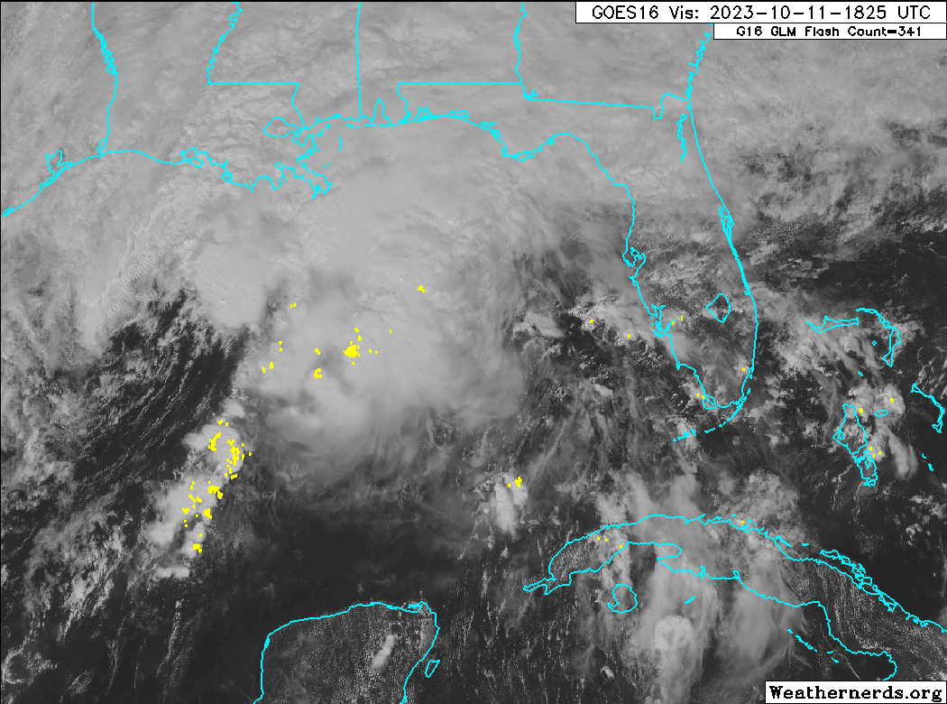
Southwestern Gulf of Mexico (AL93):
Showers and thunderstorms have not become any better organized this
afternoon in association with an area of low pressure over the
southwestern Gulf of Mexico. Environmental conditions appear only
marginally favorable and this system has a short window to develop
further over the next day or so. By Wednesday morning, the system is
forecast to merge with a developing frontal boundary over the
western Gulf of Mexico. An Air Force Reserve Reconnaissance aircraft
is in route to investigate the system this afternoon and will
provide more information about the system's structure.
Regardless of tropical cyclone development, the system is forecast
to produce gale-force winds over portions of the northern Gulf of
Mexico by tomorrow, and potentially heavy rainfall along the Gulf
Coast by the latter portion of this week. For more information, see
products from your local National Weather Service office, and high
seas forecasts issued by the National Weather Service.
* Formation chance through 48 hours...low...30 percent.
* Formation chance through 7 days...low...30 percent.


